
23
documented records
≈ 35–70
approx. capacity (graves)
1,740 m²
cemetery area
Oct 29, 2026
last modified
About this cemetery
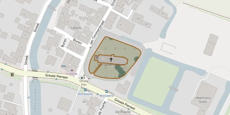
The churchyard of the Protestant church in Kimswerd, Friesland, lies about 7 kilometres south-east of Harlingen. It is recorded by the Commonwealth War Graves Commission as Wonseradeel (Kimswerd) Protestant Churchyard. Airmen from two bombers that crashed nearby in the Second World War are buried here.
Cemetery location
GPS coordinates: 53.141281° N, 5.438540° E Directions in Google Maps (opens in a new tab)
Memorials
23 memorials, A–Z by surname.
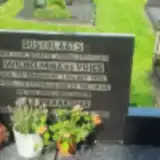 Wilhelmina Braaksma 1905 – 1948
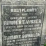 Tjitske Buwalda 1867 – 1950
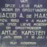 Antje de Haas 1882 – 1966
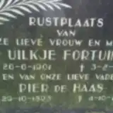 Pieter de Haas 1893 – 1985
 Freerk de Vries 1930 – 2006
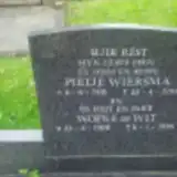 Wopke de Wit 1908 – 1999
 Obe Dijkstra 1910 – 2000
- Uilkje Fortuin 1901 – 1977
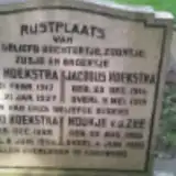 Houkje Hoekstra 1886 – 1935
- Jacobus Hoekstra 1914 – 1919
- Tjeerd Hoekstra 1889 – 1954
- Antje Karsten 1882 – 1966
- Trijntje Kroon 1880 – 1973
- Klaas Okkinga 1875 – 1957
- Trijntje Okkinga 1915 – 2007
- Houkje van der Zee 1886 – 1935
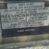 Harmen Vermeer 1855 – 1922
- Kaatje Vermeer 1856 – 1948
- Rimmert Visser 1865 – 1933
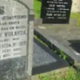 Hendrik Volbeda 1905 – 1958
- Doetje Volbeda-Helder 1905 – 1958
- Klaas Westra 1927 – 1999
- Pietje Wiersma 1910 – 1994
Looking for someone who isn't listed? Request a photo.
Nearby cemeteries
The closest other burial grounds listed on EveryStone.
- Victoriustjerke Penjum Cemetery 2.9 km away · Pingjum
- St. Gertudiskerk Churchyard 3.1 km away · Achlum
- Arum St. Lambert Church Cemetery 3.2 km away · Arum
- Harlingen Roman Catholic Cemetery 3.5 km away · Harlingen
- Harlingen General Cemetery 4.2 km away · Harlingen
- Harlingen Jewish Cemetery 4.3 km away · Harlingen
- Zurich Churchyard 4.4 km away · Zurich
- Midlum Churchyard 4.6 km away · Midlum
- Erehof Witmarsum 4.7 km away · Witmarsum
- Witmarsum Cemetery 4.7 km away · Witmarsum
Contribute with the app
Our website works smoothly on both desktop and mobile devices. Prefer a native app? Check it out below.
- Capture clear headstone photos
- Save GPS grave locations automatically
- Transcribe inscriptions with our AI
- Suggest corrections to existing records
Common questions
How big is Kimswerd Protestant Churchyard?
Kimswerd Protestant Churchyard covers about 1,740 m² (0.4 acres), about the size of 7 tennis courts. It is the 123rd smallest of the 369 cemeteries we list in Friesland.
What is the oldest grave in this cemetery?
The oldest grave among the records we hold for Kimswerd Protestant Churchyard is that of Jacobus Hoekstra, who died on May 9, 1919 at the age of 4.