
Cemetery #10983
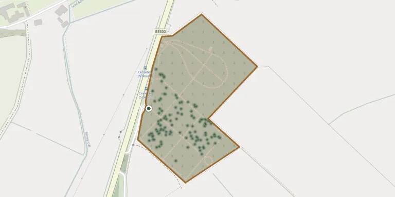
Maryport Cemetery
221
documented records
≈ 1,100–2,100
approx. capacity (graves)
0.053 km²
cemetery area
Nov 6, 2026
last modified
About this cemetery
Maryport's cemetery at Bank End opened in 1856 and its burial records are maintained by Cumberland Council. Sections B and C of the cemetery no longer have any headstones.
Cemetery location
GPS coordinates: 54.729454° N, 3.475456° W Directions in Google Maps (opens in a new tab)
Memorials
Showing the first 50 of 221, A–Z by surname. Search all records
 Mary Ayle ? – 1958
 Edna Banks ? – 1989
- Mary Banks ? – 1979
 Isabella Brooks ? – 1998
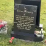 Edna Brough ? – 1986
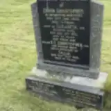 Edwin Christopher ? – 1933
- E.E. Christopher ? – 1968
- Elizabeth Christopher ? – 1952
- Tallie Christopher ? – 1988
- Thomas Colman 1916 – 1969
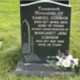 Margaret Connor 1908 – 1986
- Samuel Connor ? – 1980
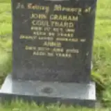 Annie Coulthard 1906 – 2002
 John Crellin Thwaites 1909 – 1994
 James Cullen ? – 1943
- Margaret Cullen 1900 – 1975
 Joseph Dalton ? – 1914
- Mary Dalton 1900 – 1956
 Eva Davidson ? – 1982
- Francis Davidson 1903 – 2002
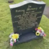 Jean Davidson ? – 2015
- John Davidson 1950 – 1951
- Kevin Davidson ? – 1937
- Ronald Davidson ? – 1992
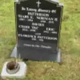 Cissie Davies 1924 – 1998
- Eric Davies 1922 – 1994
 Amos Dawson 1887 – 1951
- Fanny Dawson ? – 1961
 John Daymond 1875 – 1961
 John Dixon 1870 – 1953
 Sarah Dixon 1885 – 1972
 Thompson Dixon 1885 – 1949
- Thompson Dixon ? – 1943
- William Dixon ? – 1964
- Albert Dodd ? – 1943
- Jane Dodd ? – 1997
 Hia Donaldson ? – 1967
- John Donaldson 1891 – 1959
 Lavinia Edgar ? – 1988
 Margaret Edgar 1930 – 1938
- Margaret Edgar ? – 1975
- Robert Edgar ? – 1999
- Tom Edgar 1905 – 1964
 Donald Edmondson ? – 1980
- Mary Edmondson 1914 – 1992
 Annie Fearon 1938 – 2012
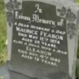 Eleanor Fearon ? – 1982
- Harold Fearon ? – 2017
 Mark Fearon 1977 – 1981
- Maurice Fearon 1915 – 1974
Looking for someone who isn't listed? Request a photo.
Nearby cemeteries
The closest other burial grounds listed on EveryStone.
- St John the Evangelist Churchyard 2.0 km away · Crosscanonby · 63 records
- St Mungo Churchyard 2.8 km away · Dearham
- Allonby (Christ Church) Churchyard 5.1 km away · Allonby · 17 records
- Flimby Cemetery 5.7 km away · Flimby
- Quaker Burial Ground 6.2 km away · Allonby
- St. Mary's Churchyard 6.6 km away · Gilcrux
- Christ Churchyard 6.9 km away · Great Broughton
- Friends Burial Ground, Little Broughton 7.0 km away · Little Broughton
- St. Bridget's Church Cemetery 8.0 km away · Bridekirk · 6 records
- Saint Bridgets Churchyard 8.0 km away · Brigham
Contribute with the app
Our website works smoothly on both desktop and mobile devices. Prefer a native app? Check it out below.
- Capture clear headstone photos
- Save GPS grave locations automatically
- Transcribe inscriptions with our AI
- Suggest corrections to existing records
Common questions
How big is Maryport Cemetery?
Maryport Cemetery covers about 53,000 m² (13 acres), about the size of 7 soccer fields. It is the 9th largest of the 297 cemeteries we list in Cumbria.
What is the oldest grave in this cemetery?
The oldest grave among the records we hold for Maryport Cemetery is that of Joseph Dalton, who died on October 31, 1914.