
49
documented records
≈ 49–74
approx. capacity (graves)
1,760 m²
cemetery area
Oct 27, 2026
last modified
About this cemetery
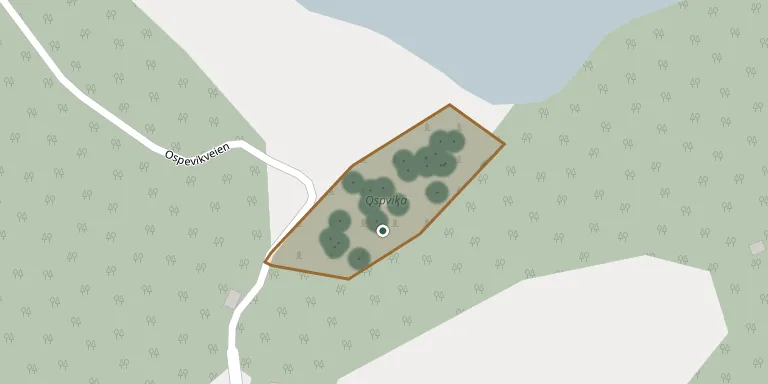
Ospevika kirkegård lies beside Stølefjorden, west of county road 351 near Portør in Kragerø Municipality. The cemetery dates from 1865. Kragerø kirkelige fellesråd is responsible for the burial grounds of the municipality.
Cemetery location
GPS coordinates: 58.800098° N, 9.399300° E Directions in Google Maps (opens in a new tab)
Memorials
49 memorials, A–Z by surname.
 Anders Andersen 1891 – 1978
- Inga Andersen 1898 – 1975
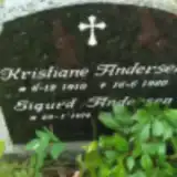 Kristiane Andersen 1910 – 1980
 Inger Bjørnstad 1894 – 1914
- Jorund Bjørnstad 1866 – 1956
- Marthe Bjørnstad 1903 – 1994
- Ole Bjørnstad 1857 – 1932
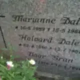 Halvard Dale 1896 – 1987
- Marianne Dale 1892 – 1982
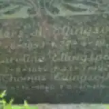 Anders Ellingsvik 1853 – 1934
- Karoline Ellingsvik 1858 – 1929
- Thomas Ellingsvik 1890 – 1964
 Knud Eriksen 1836 – 1866
- Maren Eriksen 1843 – 1907
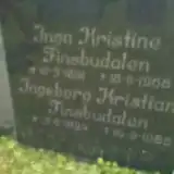 Inga Finsbudalen 1891 – 1968
- Ingeborg Finsbudalen 1894 – 1986
- Vaar Gran 1920 – 1991
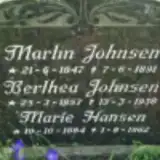 Marie Hansen 1884 – 1962
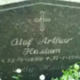 Olaf Haslum 1898 – 1961
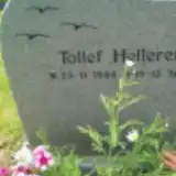 Tollef Helleren 1944 – 2008
- Berthea Johnsen 1857 – 1938
- Martin Johnsen 1847 – 1891
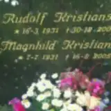 Magnhild Kristiansen 1931 – 2005
- Rudolf Kristiansen 1931 – 2001
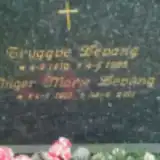 Inger Levang 1910 – 2011
- Tryggve Levang 1910 – 1985
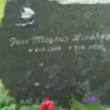 Jens Lindhagen 1922 – 2010
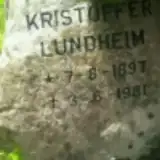 Kristoffer Lundheim 1897 – 1981
 Ellen Myrstrand 1896 – 1975
- Evine Myrstrand 1871 – 1932
 Kristine Nilsen 1858 – 1885
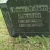 Anna Nilsen Haslum 1871 – 1970
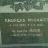 Aase Nygaard 1879 – 1953
- Andreas Nygaard 1881 – 1963
 Kari Østerlid Haslund 1937 – 2006
 Anne Pedersen 1867 – 1927
- Carl Pedersen 1862 – 1935
 Astrid Steinbru 1899 – 1982
 Kjystole Svensen 1819 – 1894
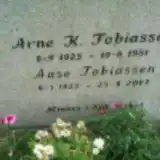 Aase Tobiassen 1923 – 2007
- Arne Tobiassen 1925 – 1981
- Anne Tonstøl 1897 – 1987
- Helene Tonstøl 1866 – 1952
- Jens Tonstøl 1887 – 1955
 Anne Vedal 1870 – 1937
- Henrik Vedal ? – 1959
- Olav Vedal 1902 – 1965
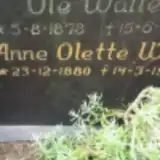 Anne Walle 1880 – 1973
- Ole Walle 1878 – 1958
Looking for someone who isn't listed? Request a photo.
Nearby cemeteries
The closest other burial grounds listed on EveryStone.
- Støle Churchyard 2.9 km away · Støle
- Nistesvåg Churchyard 7.2 km away · Hødnebø
- Bråten Churchyard 7.7 km away · Kragerø
- Dahl Churchyard 7.9 km away · Kragerø
- Skaatøy Cemetery 8.0 km away · Skåtøy
- Kragerø Cemetery 8.1 km away · Kragerø
- Sannidal Churchyard 13 km away · Sannidal
- Risor Civil Cemetery 13 km away · Risør
- Frydendal Churchyard 14 km away · Risør · 6 records
- Sandnes Cemetery 19 km away · Risør
Contribute with the app
Our website works smoothly on both desktop and mobile devices. Prefer a native app? Check it out below.
- Capture clear headstone photos
- Save GPS grave locations automatically
- Transcribe inscriptions with our AI
- Suggest corrections to existing records
Common questions
How big is Ospevika Churchyard?
Ospevika Churchyard covers about 1,760 m² (0.4 acres), about the size of 7 tennis courts. It is the 6th smallest of the 74 cemeteries we list in Telemark.
What is the oldest grave in this cemetery?
The oldest grave among the records we hold for Ospevika Churchyard is that of Knud Eriksen, who died on June 16, 1866 at the age of 30.