
Cemetery #13480
Hoogstade Belgian Military Cemetery
Local name: Belgische militaire begraafplaats Hoogstade
Also known as Belgische militaire begraafplaats van Hoogstade
0
documented records
≈ 88–180
approx. capacity (graves)
4,420 m²
cemetery area
Oct 18, 2026
last modified
About this cemetery
This First World War military cemetery at Hoogstade, south of Veurne, holds Belgian soldiers, including men who died in the nearby Belgian Field Hospital. In 1968 the Reninge military cemetery was cleared and 117 Belgians were moved here. Scattered among the Belgian graves are 20 Commonwealth burials. The cemetery holds 808 Belgian dead. For more information, see inventaris.onroerenderfgoed.be.
Cemetery location
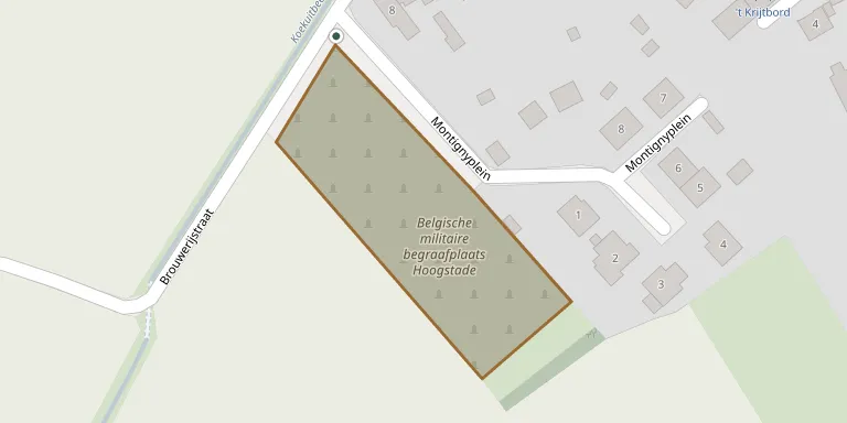
GPS: GPS coordinates: 50.978870° N, 2.689310° E Directions in Google Maps (opens in a new tab)
Memorials
No records yet
Photograph a headstone and add it to the archive.
Looking for someone who isn't listed? Request a photo.
Nearby cemeteries
The closest other burial grounds listed on EveryStone.
- Hoogstade Churchyard 260 m away · Hoogstade
- Gijverinkhove Churchyard 1.1 km away · Alveringem
- Izenberge Churchyard 2.9 km away · Alveringem
- Lo-Reninge Commonwealth War Graves 3.2 km away · Lo-Reninge
- Pollinkhove Churchyard 3.2 km away · Pollinkhove
- Alveringem Cemetery 3.8 km away · Alveringem
- St. Audomar Cemetery, Alveringem 4.0 km away · Alveringem
- Lo, Breydelstraat Churchyard 4.1 km away · Lo-Reninge
- Stavele Churchyard 4.4 km away · Alveringem
- Vinkem Churchyard 4.6 km away · Veurne
Contribute with the app
Our website works smoothly on both desktop and mobile devices. Prefer a native app? Check it out below.
- Capture clear headstone photos
- Save GPS grave locations automatically
- Transcribe inscriptions with our AI
- Suggest corrections to existing records
Common questions
How big is Hoogstade Belgian Military Cemetery?
Hoogstade Belgian Military Cemetery covers about 4,420 m² (1.1 acres), about half the size of a soccer field. It is the 223rd largest of the 503 cemeteries we list in West Flanders.