
Cemetery #13908
Atherton Cemetery
76
documented records
≈ 990–2,000
approx. capacity (graves)
0.050 km²
cemetery area
Nov 6, 2026
last modified
About this cemetery
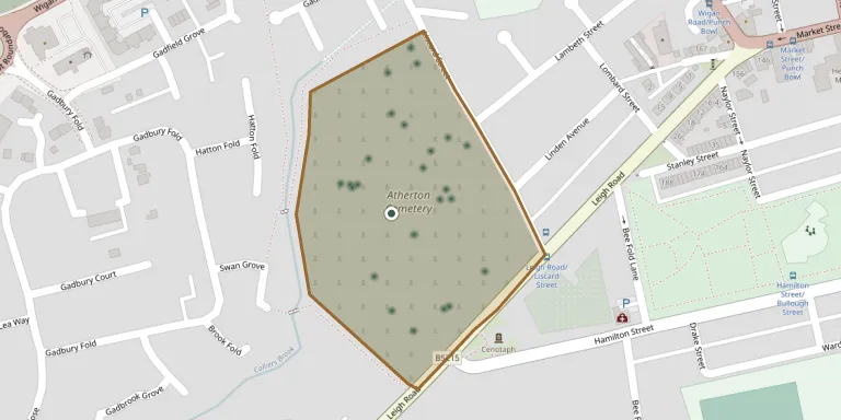
Atherton Cemetery is a Wigan Council cemetery on Leigh Road, between the town centre and Howe Bridge in Atherton, Greater Manchester. Plans for it were drawn up in 1855, and it opened in 1857, as the graveyards around the town's churches and chapels were full. A memorial garden and a community group of friends and heritage volunteers are associated with the cemetery.
Cemetery location
GPS coordinates: 53.521877° N, 2.503027° W Directions in Google Maps (opens in a new tab)
Memorials
Showing the first 50 of 76, A–Z by surname. Search all records
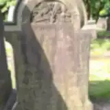 Nancy Bracegirdle 1857 – 1935
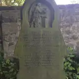 Agnes Caldwell ? – 1865
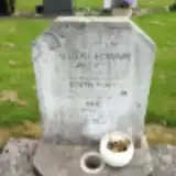 Albert Caldwell 1904 – 1953
- Edith Caldwell 1905 – 1959
- Floria Caldwell 1872 – 1873
- Frederic Caldwell 1864 – 1864
- Frederic Caldwell ? – 1865
- Marion Caldwell 1870 – 1873
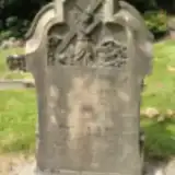 Lucy Clayton 1851 – 1922
- Thomas Clayton ? – 1896
- William Clayton ? – 1908
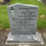 Elizabeth Corns 1882 – 1955
- James Corns 1888 – 1952
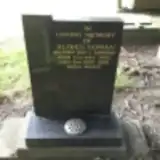 Alfred Cowan 1925 – 1988
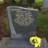 Frank Croft 1910 – 1991
- Lilian Croft ? – 1986
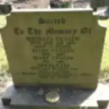 Ellen Cullen 1889 – 1966
- Mary Cullen 1891 – 1980
- Michael Cullen ? – 1964
 James Dando ? – 1990
- Norah Dando 1917 – 2007
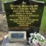 Constance Dickson 1913 – 1995
- Isabella Dickson ? – 1956
- John Dickson 1915 – 1985
- William Dickson ? – 1952
 Bill Ditchfield 1918 – 1969
- Ditchfield 1920 – 2005
 Albert Dootson 1879 – 1881
- Peter Dootson ? – 1868
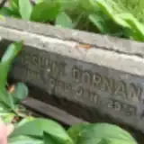 James Dornan 1890 – 1941
 George Doyle 1936 – 2010
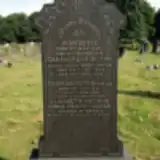 John Doyle 1856 – 1933
- Thomas Doyle 1891 – 1896
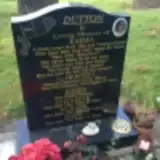 Emma Dutton 1908 – 2003
- Herbert Dutton ? – 1970
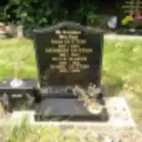 Herbert Dutton 1881 – 1935
- Mabel Dutton 1922 – 2002
- Sam Dutton 1847 – 1906
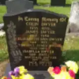 Colin Dwyer 1935 – 1959
- Elizabeth Dwyer 1912 – 1977
- Isabella Dwyer 1929 – 2003
- Jack Dwyer 1932 – 2008
- James Dwyer 1907 – 1962
- Michael Dwyer 1937 – 2006
- Vincent Dwyer 1930 – 1984
 Anne Dyer 1939 – 1945
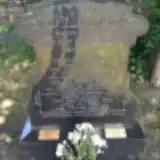 Mary Eaton 1908 – 1993
- Phyllis Eaton 1946 – 1991
 Alice Eckersley 1841 – 1927
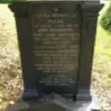 Cyril Eckersley ? – 1960
Looking for someone who isn't listed? Request a photo.
Nearby cemeteries
The closest other burial grounds listed on EveryStone.
- Howe Bridge Cemetery 850 m away · Atherton
- Howe Bridge Crematorium Memorial Gardens 920 m away · Atherton · 33 records
- St James the Great Churchyard 1.7 km away · Westhoughton
- Leigh (Saint Paul) Churchyard 1.8 km away · Leigh · 45 records
- St. George's Parish Church 2.3 km away · Tyldesley
- Westhoughton Congregational Churchyard 3.0 km away · Westhoughton
- Westhoughton Cemetery 3.4 km away · Westhoughton · 118 records
- Leigh Cemetery 3.5 km away · Leigh · 39 records
- Old St Stephen's Churchyard 3.9 km away · Astley
- Tyldesley Cemetery 4.0 km away · Tyldesley · 269 records
Contribute with the app
Our website works smoothly on both desktop and mobile devices. Prefer a native app? Check it out below.
- Capture clear headstone photos
- Save GPS grave locations automatically
- Transcribe inscriptions with our AI
- Suggest corrections to existing records
Common questions
How big is Atherton Cemetery?
Atherton Cemetery covers about 50,000 m² (12 acres), about the size of 7 soccer fields. It is the 31st largest of the 226 cemeteries we list in Greater Manchester.
What is the oldest grave in this cemetery?
The oldest grave among the records we hold for Atherton Cemetery is that of Frederic Caldwell, who died on June 14, 1864 at the age of 0.