
Cemetery #15082
Śnieciska Parish Cemetery
Local name: Śnieciska cmentarz parafialny
Also known as Śnieciska, cmentarz przykościelny
32
documented records
≈ 140–280
approx. capacity (graves)
6,920 m²
cemetery area
Nov 5, 2026
last modified
About this cemetery
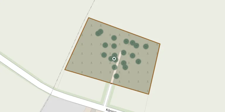
The parish cemetery of Śnieciska lies about 600 metres from the parish church and was consecrated in 1853. It has existed since the nineteenth century and serves the parish of St Martin in the Zaniemyśl commune, Greater Poland.
Cemetery location
GPS: GPS coordinates: 52.197845° N, 17.174326° E Directions in Google Maps (opens in a new tab)
Memorials
32 memorials, A–Z by last name.
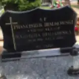 Kazimiera Białkowska 1916 – 2007
- Franciszek Białkowski 1912 – 1997
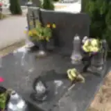 Benon Dudziak 1925 – 1998
- Zofia Dudziak 1930 – 2005
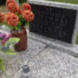 Stanisława Dydymska 1899 – 1991
- Franciszek Dydymski 1899 – 1962
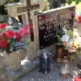 Kazimiera Hołderna 1919 – 1948
- Jan Hołedrny 1917 – 1945
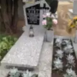 Stanisława Huda 1927 – 1993
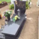 Jan Juskowiak 1910 – 1967
 Jakub Kaiser 2008 – 2008
 Józef Koscielniak 1909 – 1962
- Antonina Kościelniak 1901 – 1997
 Stefania Kulka 1922 – 1986
 Joanna Marcinak 1931 – 2012
 Henryk Markiewicz 1940 – 1998
 Weronika Michalska 1900 – 1952
 Józef Mieloch 1935 – 2018
 Regina Mikołajczak 1930 – 2014
- Stefan Mikołajczak 1930 – 2012
- Marek Mydlarz 1962 – 2009
 Bogusław Nowak 1947 – 1948
- Bronisław Nowak 1910 – 1981
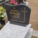 Stefan Nowak 1938 – 1989
 Marianna Ornat 1912 – 2004
- Czesław Orwat 1909 – 1976
 Franciszka Sobkowiak 1886 – 1914
- Walenty Sobkowiak 1880 – 1953
 Aniela Stasiak 1921 – 1993
- Jan Stasiak 1914 – 1964
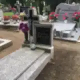 Władysława Wiatr 1903 – 1972
- Ludwik Włodarczak 1883 – 1962
Looking for someone who isn't listed? Request a photo.
Nearby cemeteries
The closest other burial grounds listed on EveryStone.
- Koszuty Parish Cemetery 4.3 km away · Koszuty · 16 records
- Zaniemyśl Parish Cemetery 5.2 km away · Zaniemyśl · 467 records
- Bnin Catholic Cemetery 6.3 km away · Kórnik · 28 records
- Mądre Cemetery 7.2 km away · Mądre · 38 records
- Kórnik All Saints Parish Cemetery 7.7 km away · Kórnik · 293 records
- Ucho igielne - lapidarium 8.2 km away · Kórnik
- Środa Wielkopolska Parish Cemetery 8.4 km away · Środa Wielkopolska · 79 records
- Środa Wielkopolska Jewish Cemetery 8.5 km away · Środa Wielkopolska
- Krerowo Cemetery 10 km away · Poznań · 39 records
- Mączniki Cemetery 11 km away · Wielkopolskie · 46 records
Contribute with the app
Our website works smoothly on both desktop and mobile devices. Prefer a native app? Check it out below.
- Capture clear headstone photos
- Save GPS grave locations automatically
- Transcribe inscriptions with our AI
- Suggest corrections to existing records
Common questions
How big is Śnieciska Parish Cemetery?
Śnieciska Parish Cemetery covers about 6,920 m² (1.7 acres), about the size of a soccer field. It is the 539th largest of the 1,233 cemeteries we list in Greater Poland Voivodeship.
What is the oldest grave in this cemetery?
The oldest grave among the records we hold for Śnieciska Parish Cemetery is that of Franciszka Pieczyńska Sobkowiak, who died on October 24, 1914 at the age of 28.