
467
documented records
≈ 520–1,000
approx. capacity (graves)
0.026 km²
cemetery area
Nov 5, 2026
last modified
About this cemetery
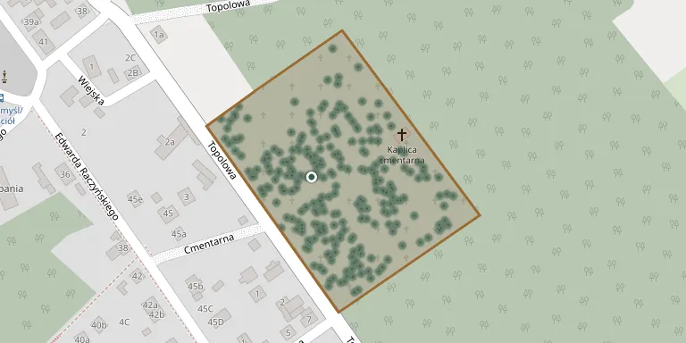
This is the parish cemetery of Zaniemyśl in Greater Poland, located on ul. Topolowa and linked to the parish of St Lawrence. A digital cemetery register for the Zaniemyśl municipality lists 4,562 people for this cemetery.
Cemetery location
GPS coordinates: 52.151100° N, 17.169201° E Directions in Google Maps (opens in a new tab)
Memorials
Showing the first 50 of 467, A–Z by surname. Search all records
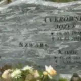 Józef Cukrowski 1958 – 2011
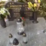 Krystyna Czub 1936 – 2015
- Stefan Czub ? – 2006
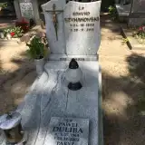 Paweł Duliba 1964 – 2002
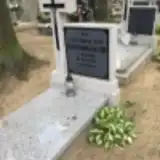 Katarzyna Forycka 1897 – 1984
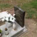 Tadeusz Gabrielczyk ? – 1959
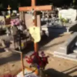 Leon Gronowski 1908 – 1985
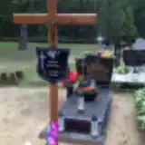 Helena Haremska 1918 – 1981
- Franciszek Haremski 1919 – 1986
 Teresa Jabłońska ? – 1945
 Kazimierz Janczak 1925 – 2012
- Urszula Janczak 1926 – 2017
 Joanna Janicka 1947 – 2010
- Wanda Jerzak 1924 – 2002
 Wiktoria Kaczmarek 1903 – 1955
 Eleonora Kaczor 1911 – 1977
- Sydonia Kaczor 1909 – 1993
- Władysław Kaczor 1906 – 1972
 Henryk Kałas 1950 – 1991
 Franciszek Kalisz 1898 – 1983
- Katarzyna Kalisz 1891 – 1967
 Antonina Kamień 1887 – 1954
- Edward Kamień 1928 – 1992
- Jan Kamień 1875 – 1952
- Stanisława Kamień 1924 – 2010
 Konrad Karalus 1933 – 2002
- Stanislawa Karalus 1905 – 1974
 Jozef Karasiak 1909 – 1961
- Maria Karasiak 1906 – 1980
 Pelagia Kąsowska 1920 – 2001
 Stefan Kąsowski 1905 – 1965
- Tadeuszek Kąsowski 1948 – 1948
 Janina Kasprzyk 1943 – 2016
 Joanna Kasprzyk 1928 – 2004
- Stanisław Kasprzyk 1922 – 1992
 Jan Katarzyniak 1941 – 1989
 Pelagia Kawecka 1911 – 1987
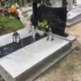 Zofia Kedzia 1927 – 1996
- Jan Kędzia 1922 – 2003
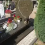 Henryk Kędziora 1934 – 1991
- Janina Kędziora 1936 – 2008
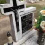 Józef Kirschke 1910 – 1987
- Władysława Kirschke 1912 – 1954
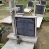 Leokadia Klimek 1925 – 2004
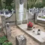 Ludwik Klosowicz 1857 – 1946
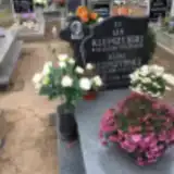 Alina Klupczynska 1936 – 2015
- Jan Klupczyński 1926 – 2004
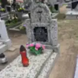 Stanisława Knopowska 1923 – 2005
- Janina Kołodziej 1946 – 2012
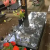 Katarzyna Kominek ? – 1961
Looking for someone who isn't listed? Request a photo.
Nearby cemeteries
The closest other burial grounds listed on EveryStone.
- Śnieciska Parish Cemetery 5.2 km away · Śnieciska · 32 records
- Mądre Cemetery 6.5 km away · Mądre · 38 records
- Mechlin Family Cemetery 7.9 km away · Mechlin
- Gogolewo Cemetery 8.8 km away · Gogolewo
- Koszuty Parish Cemetery 9.5 km away · Koszuty · 16 records
- Bnin Catholic Cemetery 9.9 km away · Kórnik · 28 records
- Książ Wielkopolski Cemetery 11 km away · Książ Wielkopolski · 97 records
- Śrem Former New Jewish Cemetery 11 km away · Śrem
- Kórnik All Saints Parish Cemetery 12 km away · Kórnik · 293 records
- Solec Parish Cemetery 12 km away · Solec
Contribute with the app
Our website works smoothly on both desktop and mobile devices. Prefer a native app? Check it out below.
- Capture clear headstone photos
- Save GPS grave locations automatically
- Transcribe inscriptions with our AI
- Suggest corrections to existing records
Common questions
How big is Zaniemyśl Parish Cemetery?
Zaniemyśl Parish Cemetery covers about 26,000 m² (6.4 acres), about the size of 4 soccer fields. It is the 80th largest of the 1,233 cemeteries we list in Greater Poland Voivodeship.
What is the oldest grave in this cemetery?
The oldest grave among the records we hold for Zaniemyśl Parish Cemetery is that of Antoni Rybicki, who died on December 27, 1873 at the age of 73.