
Cemetery #15134
Mangotsfield Cemetery
37
documented records
≈ 860–1,700
approx. capacity (graves)
0.043 km²
cemetery area
Nov 5, 2026
last modified
About this cemetery
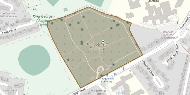
Mangotsfield Cemetery is a council-owned cemetery on the east side of Bristol, on Westerleigh Road, run by South Gloucestershire Council. The cemetery can be found online through cwgc.org.
Cemetery location
GPS coordinates: 51.491459° N, 2.496250° W Directions in Google Maps (opens in a new tab)
Memorials
37 memorials, A–Z by surname.
 Annie Leonard 1986 – 1987
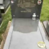 Grazia Lombardi 1910 – 1994
 David Lullman 1939 – 1991
 Assunta Maggio 1922 – 2006
- Francesco Maggio 1916 – 1988
 Anna Manfredi 1932 – 2017
 Godfrey Newman 1940 – 2003
 Reginald Passco 1931 – 1998
- Valerie Passco 1937 – 2016
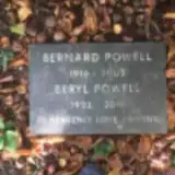 Bernard Powell 1916 – 2003
- Beryl Powell 1923 – 2010
 Frederick Priday 1904 – 1977
- Gladys Priday 1907 – 1982
- Jean Priday 1930 – 1933
- John Priday 1929 – 2018
 Pham Quan 1939 – 1992
 Shirley Randall 1935 – 2012
 George Ratcliffe 1866 – 1922
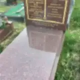 Foster Ross 1933 – 2012
- Gloria Ross 1943 – 2010
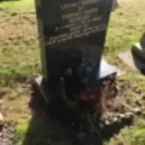 Danny Rowles 1964 – 1982
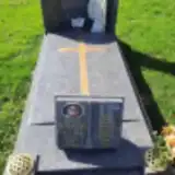 Joseph Sarkozi ? – 2005
- Rudy Sarkozi 1967 – 2017
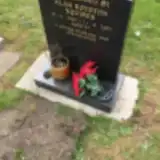 Alan Squires 1950 – 2007
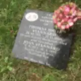 Thomas Srannard 1911 – 2005
- Joan Stannard 1922 – 2008
 Jeannette Sumner 1939 – 2004
- Raymond Sumner 1934 – 2015
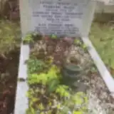 Charles Thompson ? – 1962
- Francis Thompson 1889 – 1952
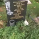 Irene White 1916 – 2007
- Michael White 1936 – 1991
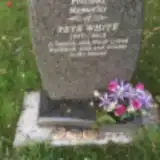 Peter White 1937 – 2012
- Richard White 1918 – 1997
 Jack Whitehead 1914 – 2005
- Phyllis Whitehead 1918 – 2006
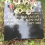 Mervyn Whitton-Kendall 1923 – 2003
Looking for someone who isn't listed? Request a photo.
Nearby cemeteries
The closest other burial grounds listed on EveryStone.
- Downend Christ Churchyard 980 m away · Downend · 17 records
- St. John the Baptist Churchyard 1.7 km away · Winterbourne · 5 records
- Fishponds Baptist Churchyard 2.1 km away · Fishponds · 6 records
- Saint Mary's Churchyard 2.6 km away · Fishponds
- Whitefields Tabernacle Ruin, Kingswood 3.2 km away · Kingswood
- Master's Church Cemetery 3.2 km away · Kingswood
- Holy Trinity Churchyard 3.3 km away · South Gloucestershire · 2 records
- Filton Cemetery 3.3 km away · Stoke Gifford · 11 records
- Wesleyan Chapel, Kingswood 3.5 km away · Kingswood
- St Anne's Churchyard 3.7 km away · Siston
Contribute with the app
Our website works smoothly on both desktop and mobile devices. Prefer a native app? Check it out below.
- Capture clear headstone photos
- Save GPS grave locations automatically
- Transcribe inscriptions with our AI
- Suggest corrections to existing records
Common questions
How big is Mangotsfield Cemetery?
Mangotsfield Cemetery covers about 43,000 m² (11 acres), about the size of 6 soccer fields. It is the 8th largest of the 385 cemeteries we list in Gloucestershire.
What is the oldest grave in this cemetery?
The oldest grave among the records we hold for Mangotsfield Cemetery is that of George Ratcliffe, who died in July 1922 at the age of 56.