
Cemetery #171610
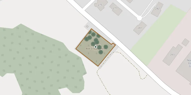
Bad Großpeterholz Cemetery
Local name: Friedhof Bad Großpeterholz
Also known as Friedhof Bad Großpertholz
36
documented records
≈ 37–74
approx. capacity (graves)
1,860 m²
cemetery area
Nov 5, 2026
last modified
About this cemetery
The municipal cemetery of Bad Großpertholz in the Gmünd District of Lower Austria is administered by the market municipality, which also runs a second cemetery at Karlstift.
Cemetery location
GPS coordinates: 48.626731° N, 14.830016° E Directions in Google Maps (opens in a new tab)
Memorials
36 memorials, A–Z by surname.
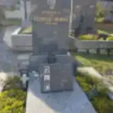 Christian Amon 1962 – 2006
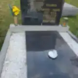 Adolf Bauer 1895 – 1965
- Aloisia Bauer 1915 – 1987
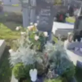 Hilde Bosich 1936 – 2019
- Johann Bosich 1934 – 2012
 Herbert Hahn 1933 – 2019
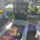 Roman Haidoogl 1912 – 1981
- Herta Haidvogl 1926 – 2000
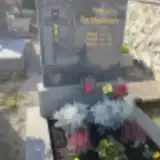 Maria Hochholdinger 1906 – 1985
- Rudolf Hochholdinger 1901 – 1950
- Rudolf Hochholdinger 1941 – 1963
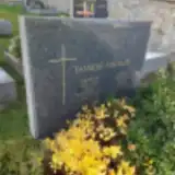 Edith Jungnikl 1924 – 1995
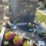 Anna Kitzler 1937 – 2007
 Albin Klopf 1981 – 2022
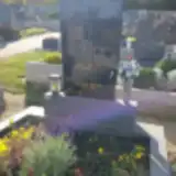 Friederike Laister 1914 – 1993
- Karl Laister 1908 – 1992
- Leopold Miedler 1904 – 1975
- Maria Miedler 1903 – 1956
- Hedwig Prinz 1944 – 2016
- Johann Prinz 1940 – 2000
- Alexander Rehberger 1910 – 1916
- Engelbert Rehberger 1884 – 1942
- Josefine Rehberger 1927 – 1999
- Karl Rehberger 1922 – 2001
- Maria Rehberger 1886 – 1972
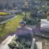 Kurt Sailer 1960 – 1993
- Rupert Sailer 1934 – 2017
- Anna Sattler 1887 – 1967
- Gertrude Sattler 1922 – 2007
- Wenzel Sattler 1882 – 1962
- Emil Staudinger 1906 – 1959
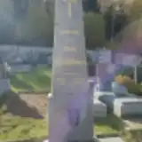 Heinz Wachselbaumer 1924 – 2001
- Lotte Wenzelbauer 1929 – 2019
- Anastasia Winter 1909 – 1982
- Franz Winter 1906 – 1971
- Josef Winter 1902 – 1977
Looking for someone who isn't listed? Request a photo.
Nearby cemeteries
The closest other burial grounds listed on EveryStone.
- Harmannschlag Parish Cemetery 4.2 km away · Harmanschlag · 66 records
- St. Martin Im Walde Cemetery 4.2 km away · St. Martin · 28 records
- Sankt Wolfgang Cemetery 6.3 km away · Sankt Wolfgang
- Oberkirchen Christian Cemetery 6.9 km away · Oberkirchen
- Langschlag Cemetery 7.1 km away · Langschlag
- Karlstift Cemetery 7.2 km away · Karlstift
- Pfarrkirche Spital bei Weitra 8.3 km away · Spital
- Großschönau Cemetery 8.8 km away · Engelstein · 90 records
- Moorbad Harbach Cemetery 9.1 km away · Harbach · 84 records
- Weitra Cemetery 9.8 km away · Weitra · 317 records
Contribute with the app
Our website works smoothly on both desktop and mobile devices. Prefer a native app? Check it out below.
- Capture clear headstone photos
- Save GPS grave locations automatically
- Transcribe inscriptions with our AI
- Suggest corrections to existing records
Common questions
How big is Bad Großpeterholz Cemetery?
Bad Großpeterholz Cemetery covers about 1,860 m² (0.5 acres), about the size of 7 tennis courts. It is the 378th smallest of the 1,114 cemeteries we list in Lower Austria.
What is the oldest grave in this cemetery?
The oldest grave among the records we hold for Bad Großpeterholz Cemetery is that of Alexander Rehberger, who died in 1916 at the age of 6.