
Cemetery #171634
Weißenkirchen an der Perschling
Local name: Friedhof Weißenkirchen an der Perschling
21
documented records
≈ 44–88
approx. capacity (graves)
2,200 m²
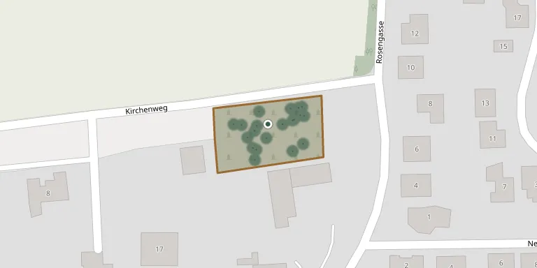
cemetery area
Oct 18, 2026
last modified
About this cemetery
The cemetery in the cadastral municipality of Weißenkirchen an der Perschling is owned and administered by the municipality. The municipality, formerly called Weißenkirchen an der Perschling, has been named Perschling since 1 December 2015.
Cemetery location
GPS coordinates: 48.269742° N, 15.797316° E Directions in Google Maps (opens in a new tab)
Memorials
21 memorials, A–Z by surname.
 Josef Blab 1901 – 1960
 Anton Brabletz 1910 – 1976
 Maria Dufek 1862 – 1949
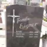 Stefan Eigner 1973 – 1992
 Johann Fahrnecker 1869 – 1968
 Franz Fitz 1892 – 1923
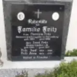 Josef Fritz 1935 – 2005
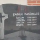 Anton Haslinger 1935 – 1997
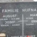 Maria Hufnagl 1908 – 1981
 Gottfried Nussbaumer 1938 – 1998
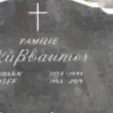 Johann Nußbaumer 1939 – 1995
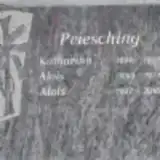 Alois Priesching 1927 – 2018
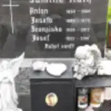 Franziska Rath 1928 – 2012
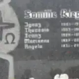 Marianne Riegl 1957 – 2010
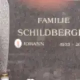 Johann Schildberger 1933 – 2016
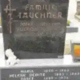 Josef Tauchner 1889 – 1976
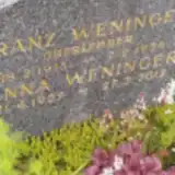 Franz Weninger 1915 – 1956
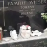 Johann Wieser 1911 – 1965
- Josef Wieser 1881 – 1917
 Friedrich Zmuditsch 1939 – 2005
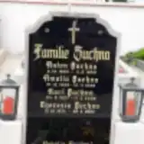 Theresia Zuchna 1934 – 2022
Looking for someone who isn't listed? Request a photo.
Nearby cemeteries
The closest other burial grounds listed on EveryStone.
- Heiligenkreuz-Gutenbrunn Cemetery 2.5 km away · Heiligenkreuz
- Kapelln Cemetery 3.0 km away · Gemeinde Kapelln · 25 records
- Murstetten Cemetery 4.4 km away · Perschling · 44 records
- Jeutendorf Cemetery 4.8 km away · Jeutendorf
- Würmla Cemetery 4.8 km away · Würmla · 77 records
- Angern Cemetery 6.6 km away · Angern
- St. Andrä Cemetery 6.8 km away · Sankt Andrä an der Traisen
- Ruhewald Traismauer 7.0 km away · Waldlesberg
- Totzenbach Cemetery 7.3 km away · Totzenbach
- Pottenbrunn Cemetery 7.5 km away · Sankt Pölten · 78 records
Contribute with the app
Our website works smoothly on both desktop and mobile devices. Prefer a native app? Check it out below.
- Capture clear headstone photos
- Save GPS grave locations automatically
- Transcribe inscriptions with our AI
- Suggest corrections to existing records
Common questions
How big is Weißenkirchen an der Perschling?
Weißenkirchen an der Perschling covers about 2,200 m² (0.5 acres), about the size of 8 tennis courts. It is the 460th smallest of the 1,114 cemeteries we list in Lower Austria.
What is the oldest grave in this cemetery?
The oldest grave among the records we hold for Weißenkirchen an der Perschling is that of Josef Wieser, who died in 1917 at the age of 36.