
Cemetery #180939
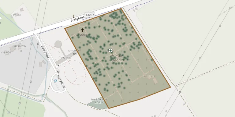
Hodonín Cemetery
Local name: Hřbitov Hodonín
Also known as Městský hřbitov Hodonín · Křížek u hřbitova
568
documented records
≈ 1,100–2,100
approx. capacity (graves)
0.053 km²
cemetery area
Nov 5, 2026
last modified
About this cemetery
The Hodonín municipal cemetery was established between 1898 and 1901. It is enclosed by a high boundary wall decorated on its front side.
Cemetery location
GPS coordinates: 48.863780° N, 17.155120° E Directions in Google Maps (opens in a new tab)
Memorials
Showing the first 50 of 568, A–Z by surname. Search all records
 Zdeňka Ammerová 1956 – 2013
 Heinzlová Anna 1916 – 1983
 Růžička Arnold 1937 – 2011
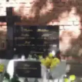 Jan Bachna 1938 – 1988
- Josef Bachna 1946 – 1988
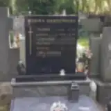 Břetinek Bartoňek 1953 – 1953
- Břetislav Bartoňek 1923 – 1990
- František Bartoňek 1897 – 1968
- Františka Bartoňková 1926 – 2011
- Ludmila Bartoňková 1898 – 1953
 Josef Bednárik 1912 – 1976
 Josef Benda 1906 – 1973
 Roland Blusek 1910 – 1977
- Věra Blusková 1925 – 1992
 Jiří Brožík 1927 – 1990
 Miloslav Bureš 1935 – 1984
 Marie Bystřická 1895 – 1988
 Libuše Čekanová 1927 – 2006
- Žofie Čekanová ? – 1996
 František Chvátal 1918 – 1975
- Božena Chvátalová 1922 – 2006
 Jan Chytil 1958 – 2010
 Josef Chytka 1907 – 1988
- Anděla Chytková 1913 – 2002
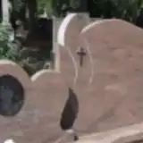 Lenka Cornelissenová 1970 – 2018
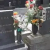 Ján Cplík 1907 – 1979
- Cecílie Cplíková 1912 – 1968
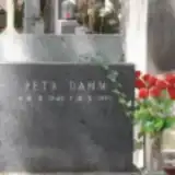 Petr Damm 1949 – 1990
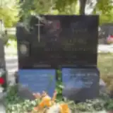 František Daněk 1833 – 1912
 Drahomír Daňek 1936 – 2001
- František Daňek 1910 – 1992
 Petr Daniel 1939 – 1972
- Hermina Danielová 1909 – 1976
- Věra Danielová 1947 – 2003
- Františka Daňková 1908 – 1963
 Pavel Darmovzal 1902 – 1956
- Františka Darmovzalová 1907 – 1996
 Ján Davidov 1965 – 2017
- Jiří Davidov 1969 – 2021
- Milan Davidov 1935 – 2003
- Stanisĺava Davidová 1943 – 2021
 Antonín Devis 1905 – 1962
- Pavel Devis 1945 – 2014
 Antonín Diváček 1889 – 1960
- Antonín Diváček 1911 – 1992
- František Diváček 1915 – 1950
- Alžběta Divácká 1913 – 1953
- Marie Diváčková 1880 – 1942
- Vilemína Diváčková 1910 – 1971
- Helena Divišová 1913 – 1970
Looking for someone who isn't listed? Request a photo.
Nearby cemeteries
The closest other burial grounds listed on EveryStone.
- Hodonín New Jewish Cemetery 170 m away · Hodonín
- Rohatec Cemetery 2.8 km away · Rohatec · 44 records
- Kátov Cemetery 3.8 km away · Kátov
- Skalica New Jewish Cemetery 5.1 km away · Skalica
- Skalica Cemetery 5.2 km away · Skalica · 4,418 records
- Skalica Old Jewish Cemetery 5.4 km away · Skalica
- Holíč Cemetery 6.4 km away · Holíč
- Ratíškovice Cemetery 6.7 km away · Ratíškovice · 85 records
- Prietržka Cemetery 6.7 km away · Prietržka
- Lužice Cemetery near Hodonín 6.7 km away · Lužice
Contribute with the app
Our website works smoothly on both desktop and mobile devices. Prefer a native app? Check it out below.
- Capture clear headstone photos
- Save GPS grave locations automatically
- Transcribe inscriptions with our AI
- Suggest corrections to existing records
Common questions
How big is Hodonín Cemetery?
Hodonín Cemetery covers about 53,000 m² (13 acres), about the size of 7 soccer fields. It is the 13th largest of the 569 cemeteries we list in South Moravian Region.
What is the oldest grave in this cemetery?
The oldest grave among the records we hold for Hodonín Cemetery is that of Johann Hollan, who died on March 1, 1870 at the age of 75.