
85
documented records
≈ 320–640
approx. capacity (graves)
0.016 km²
cemetery area
Nov 4, 2026
last modified
About this cemetery
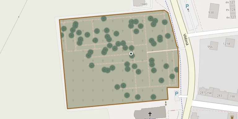
The cemetery in Ratíškovice, in Hodonín District, is listed as a public burial ground of the municipality of Ratíškovice, which is represented by its mayor.
Cemetery location
GPS coordinates: 48.923794° N, 17.159285° E Directions in Google Maps (opens in a new tab)
Memorials
Showing the first 50 of 85, A–Z by surname. Search all records
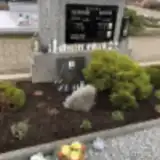 Dominik Čečátek 1901 – 1969
- Marie Čečátková 1899 – 1992
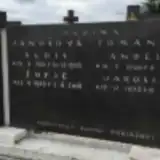 Žofie Jánošová 1929 – 2018
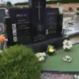 Dagmar Koblihová Tomanová 1948 – 2010
- Jaroslav Kopl 1925 – 1991
- Petr Kopl 1948 – 1950
- Karolína Koplová 1925 – 2002
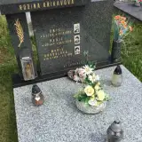 Emil Křikava 1914 – 1982
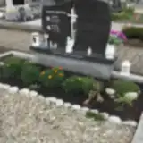 Blažej Krist 1945 – 2013
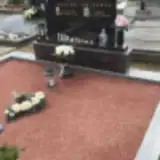 Marie Křížková 1946 – 2018
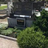 Marie Kučerová 1911 – 1993
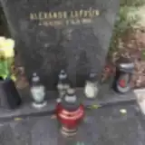 Alexandr Lapošin 1947 – 2020
 Anežka Letochová 1908 – 1980
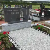 Kašpar Macek 1901 – 1980
 Petr Macek 1969 – 1974
- Petr Macek 1946 – 1991
- Růžena Macková 1907 – 1992
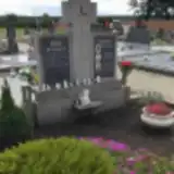 Božena Mačudová 1938 – 2019
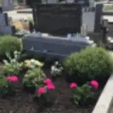 František Mahdal 1934 – 2003
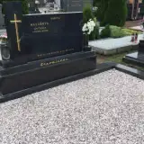 Antonín Malář 1933 – 1999
 Vavřín Maňák 1932 – 2014
 Osvald Matuška 1940 – 1999
 Marie Měchurová 1906 – 1974
 Renata Melicharová 1975 – 2011
 Tamara Michenková 1911 – 1990
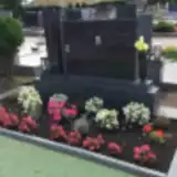 František Nesvadba 1933 – 1983
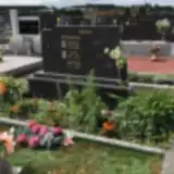 Miroslav Nesvadba 1964 – 2013
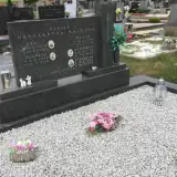 Filomena Nesvadbová 1927 – 2011
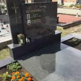 Marie Nesvadbová 1933 – 2009
- Pavel Obrtlík 1987 – 2019
- Josefa Polišenská 1917 – 2006
- Josef Polišenský 1913 – 1981
- Václav Pouch 1891 – 1941
- Františka Pouchová 1893 – 1957
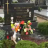 Terezie Pouchová 1927 – 2014
 Josef Přibil 1939 – 2008
 Matěj Přibil 1910 – 1999
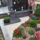 Martin Příkaský 1932 – 2008
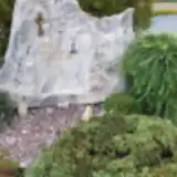 Pavel Příkaský 1968 – 2006
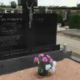 Vladimír Příkaský 1927 – 1984
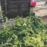 Alois Prokš 1909 – 1976
- Ludmila Prokšová 1912 – 1971
 Růžena Růžičková 1943 – 2018
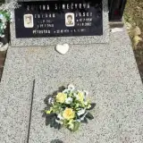 Petra Šimečková 1978 – 1979
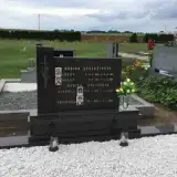 Gabriela Šnajdrová 1976 – 2000
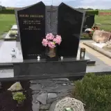 Marie Snášelová 1929 – 2012
 Helena Sochorová 1923 – 2004
 František Spěvák 1955 – 2020
 Emílie Šťastná 1907 – 1991
 Anděla Šticová 1894 – 1971
Looking for someone who isn't listed? Request a photo.
Nearby cemeteries
The closest other burial grounds listed on EveryStone.
- Vacenovice Cemetery, Vacenovice near Kyjov 2.6 km away · Vacenovice · 143 records
- Dubňany Cemetery 3.6 km away · Dubňany · 251 records
- Milotice Cemetery near Kyjov 3.8 km away · Milotice · 274 records
- Rohatec Cemetery 4.9 km away · Rohatec · 44 records
- Skoronice Cemetery 6.3 km away · Skoronice · 25 records
- Hodonín Cemetery 6.7 km away · Hodonín · 568 records
- Hodonín New Jewish Cemetery 6.8 km away · Hodonín
- Mistřín Cemetery 7.7 km away · Svatobořice-Mistřín · 8 records
- Svatoborice Cemetery 7.7 km away · Mistřín · 265 records
- Vracov Cemetery 7.8 km away · Vracov · 106 records
Contribute with the app
Our website works smoothly on both desktop and mobile devices. Prefer a native app? Check it out below.
- Capture clear headstone photos
- Save GPS grave locations automatically
- Transcribe inscriptions with our AI
- Suggest corrections to existing records
Common questions
How big is Ratíškovice Cemetery?
Ratíškovice Cemetery covers about 16,000 m² (3.9 acres), about the size of 2 soccer fields. It is the 32nd largest of the 569 cemeteries we list in South Moravian Region.
What is the oldest grave in this cemetery?
The oldest grave among the records we hold for Ratíškovice Cemetery is that of Jakub Toman, who died in 1914 at the age of 37.