
Cemetery #181170
Žatec Cemetery
Local name: Hřbitov Žatec
Also known as Městský hřbitov Žatec
363
documented records
≈ 1,400–2,800
approx. capacity (graves)
0.071 km²
cemetery area
Nov 6, 2026
last modified
About this cemetery
The municipal cemetery, also called the cemetery at St Anthony, is the main cemetery of Žatec and lies on the south-eastern edge of the town. It was established after a cholera epidemic in 1850, when the town bought land for 600 gulden near the church of St Procopius across the Ohře bridge. The cemetery was consecrated the same year and the one at the church of St Wenceslas was closed. It is marked by a Neo-Renaissance gate and the Church of St Anthony of 1873, and the town's Jewish cemetery adjoins its eastern part.
Read more in our story: Cholera Cemeteries: How Epidemics Moved the Dead Out of Town
Cemetery location
GPS coordinates: 50.323080° N, 13.555880° E Directions in Google Maps (opens in a new tab)
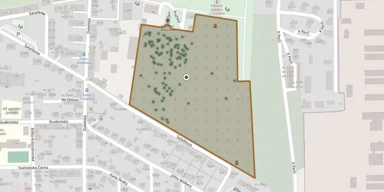
Memorials
Showing the first 50 of 363, A–Z by surname. Search all records
 Vladimír Bajbor 1920 – 1997
- Jiřina Bajborová 1925 – 2011
 Žeňa Bajerovič 1919 – 1988
 Antonín Balák 1864 – 1938
- Richard Balák 1913 – 1988
- Františka Baláková 1869 – 1953
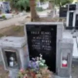 Josef Benák 1931 – 1993
- Josef Benák 1959 – 1984
- Josef Benák ? – 1949
 Jiřina Bešíková 1949 – 2001
 Josef Brda 1878 – 1961
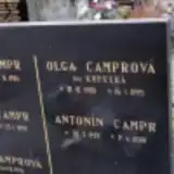 Antonín Campr 1929 – 2001
- Josef Campr 1901 – 1984
- Josef Campr 1925 – 1999
- Jana Camprová 1935 – 1999
- Olga Camprová 1905 – 1995
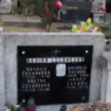 Antonín Čechák 1914 – 1952
- Josef Čechák 1916 – 1981
- Anežka Čechákova 1920 – 1981
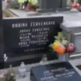 Josef Červenka 1906 – 1972
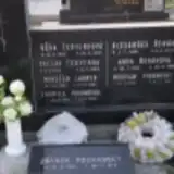 Václav Červenka 1915 – 1985
- Anna Červenková 1911 – 1998
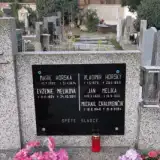 Michail Chalimončik 1949 – 2004
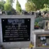 Josef Cígl 1911 – 1986
- Marie Cíglová 1923 – 1993
- Marie Cíglová 1951 – 2003
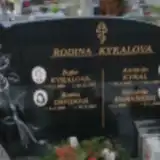 Květa Davidová 1956 – 2017
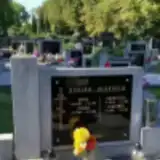 Anna Dlouhá 1884 – 1958
- Jiřina Dlouhá 1924 – 2000
- František Dlouhý 1879 – 1964
- Vladimír Dlouhý 1922 – 2010
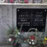 Emílie Dotrová 1904 – 1981
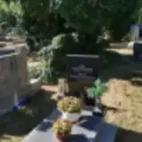 Josef Eisenhammer 1921 – 1999
- Milada Eisenhammerová 1923 – 2011
 Emil Florian 1911 – 1947
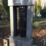 Vilem Fryje 1891 – 1934
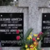 Josef Hamáček 1931 – 1999
- Miloslav Hamáček 1935 – 1973
- Vladimír Hamáček 1939 – 1998
- Vladimír Hamáček 1905 – 1977
- Margita Hamáčková 1931 – 2008
- Věra Hamáčková 1911 – 1998
 Dalibor Hanel 1910 – 1982
 Zdenka Holá 1918 – 2008
 Vladimír Holec 1922 – 1950
 Emil Hořínek 1947 – 1998
- Slavěna Horníková 1926 – 2016
- Marie Horská 1893 – 1974
- Vladimír Horský 1879 – 1965
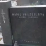 Marie Hrazdilová 1908 – 1975
Looking for someone who isn't listed? Request a photo.
Nearby cemeteries
The closest other burial grounds listed on EveryStone.
- Žatec Jewish Cemetery 140 m away · Žatec
- Libočany Cemetery 3.1 km away · Libočany
- Staňkovice Cemetery, Staňkovice near Žatec 3.3 km away · Staňkovice · 30 records
- Holedeč Cemetery 4.5 km away · Holedeč · 15 records
- Radíčeves Cemetery 4.6 km away · Radíčeves
- Žatec Cemetery, Radíčeves 4.7 km away · Žatec · 32 records
- Čeradice Cemetery 4.8 km away · Čeradice
- Čeradice Jewish Cemetery 5.4 km away · Žatec
- Nové Sedlo Cemetery 5.8 km away · Nové Sedlo
- Hradiště Cemetery 5.9 km away · Hradiště
Contribute with the app
Our website works smoothly on both desktop and mobile devices. Prefer a native app? Check it out below.
- Capture clear headstone photos
- Save GPS grave locations automatically
- Transcribe inscriptions with our AI
- Suggest corrections to existing records
Common questions
How big is Žatec Cemetery?
Žatec Cemetery covers about 71,000 m² (18 acres), about the size of 10 soccer fields. It is the 5th largest of the 451 cemeteries we list in Ústí nad Labem Region.
What is the oldest grave in this cemetery?
The oldest grave among the records we hold for Žatec Cemetery is that of Ludwig Schwarz, who died on December 10, 1901 at the age of 74.