
Cemetery #181991
Kopřivnice-Vlčovice Cemetery
Local name: Hřbitov Kopřivnice-Vlčovice
Also known as Hřbitov Kopřivnice
58
documented records
≈ 58–87
approx. capacity (graves)
1,360 m²
cemetery area
Nov 5, 2026
last modified
About this cemetery
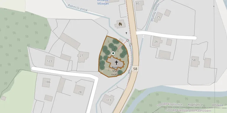
The cemetery in Vlčovice lies along road 58, which links Příbor with Frenštát pod Radhoštěm.
Cemetery location
GPS: GPS coordinates: 49.590410° N, 18.191260° E Directions in Google Maps (opens in a new tab)
Memorials
Showing the first 50 of 58, A–Z by surname. Search all records
 Amalie Babincová 1909 – 1984
 Drahomíra Babincová 1937 – 1999
- Františka Babincová 1906 – 1983
 Jarmila Babincová 1951 – 2008
- Marie Babincová 1919 – 1990
- Marie Babincová 1882 – 1967
- Emil Babinec 1931 – 1998
- František Babinec 1899 – 1940
- Josef Babinec 1905 – 1953
- Rudolf Babinec 1915 – 1995
- Vincenc Babinec 1876 – 1952
 Josef Bělík 1958 – 1997
 Jan Černý 1880 – 1948
- František Gajdušek 1903 – 1983
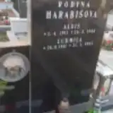 Alois Harabiš 1911 – 1986
- Ludmila Harabišová 1911 – 1993
 Emil Holub 1927 – 2000
- Jan Holub 1898 – 1962
- Anežka Holubová 1901 – 1981
- Marie Holubová 1886 – 1942
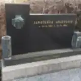 Anastazie Janotková 1904 – 1994
- Bedřich Kahánek 1896 – 1967
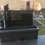 František Kahánek 1935 – 2002
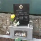 Hynek Kahánek 1907 – 1980
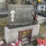 Jan Kahánek 1932 – 1999
- Jan Kahánek 1931 – 2011
- Josef Kahánek 1895 – 1981
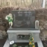 Josef Kahánek 1900 – 1958
- Miloš Kahánek 1943 – 2008
- Petr Kahánek 1880 – 1940
- Vincenc Kahánek 1882 – 1952
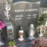 Zdeněk Kahánek 1930 – 2009
- Anna Kahánková 1882 – 1963
- Anna Kahánková 1933 – 2008
- Jana Kahánková 1900 – 1977
- Ludmila Kahánková 1909 – 1986
- Marie Kahánková 1896 – 1969
- Marie Kahánková 1901 – 1978
- Marie Kahánková 1937 – 2010
- Marie Kahánková 1900 – 1987
- Marie Kolibová 1927 – 2000
- František Kvapil 1847 – 1911
- Jan Kvapil 1819 – 1891
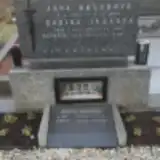 Marie Matúšová 1929 – 2016
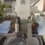 Jaroslav Mizera ? – 1977
- Františka Pavlíčková 1908 – 1986
- Josef Polášek 1867 – 1934
- Ludmila Polášková 1937 – 2020
 Antonín Štěpán 1891 – 1955
- Antonín Štěpán 1917 – 1993
Looking for someone who isn't listed? Request a photo.
Nearby cemeteries
The closest other burial grounds listed on EveryStone.
- Kopřivnice-Mniší Cemetery 1.3 km away · Kopřivnice · 37 records
- St. Nicholas Churchyard, Tichá 3.2 km away · Tichá · 58 records
- Lubina Cemetery 3.2 km away · Kopřivnice · 125 records
- Tichá na Moravě St. Nicholas Churchyard 3.3 km away · Tichá · 127 records
- Kopřivnice Cemetery 3.4 km away · Kopřivnice · 372 records
- Lichnov Cemetery near Nový Jičín 3.5 km away · Lichnov · 125 records
- Kopřivnice Old Cemetery 3.7 km away · Kopřivnice
- Frenštát pod Radhoštěm Cemetery 4.2 km away · Frenštát · 627 records
- Hukvaldy Sklenov Cemetery 4.3 km away · Hukvaldy · 105 records
- Kozlovice Cemetery 4.7 km away · Kozlovice · 162 records
Contribute with the app
Our website works smoothly on both desktop and mobile devices. Prefer a native app? Check it out below.
- Capture clear headstone photos
- Save GPS grave locations automatically
- Transcribe inscriptions with our AI
- Suggest corrections to existing records
Common questions
How big is Kopřivnice-Vlčovice Cemetery?
Kopřivnice-Vlčovice Cemetery covers about 1,360 m² (0.3 acres), about the size of 5 tennis courts. It is the 69th smallest of the 472 cemeteries we list in Moravian-Silesian Region.
What is the oldest grave in this cemetery?
The oldest grave among the records we hold for Kopřivnice-Vlčovice Cemetery is that of Jan Kvapil, who died on March 2, 1891 at the age of 71.