
Cemetery #35337
Frenštát pod Radhoštěm Cemetery
Local name: Hřbitov Frenštát pod Radhoštěm
Also known as Hřbitov Frenštát pod Radhoštěm-Tichá · Městský hřbitov
627
documented records
≈ 630–1,200
approx. capacity (graves)
0.030 km²
cemetery area
Nov 5, 2026
last modified
About this cemetery
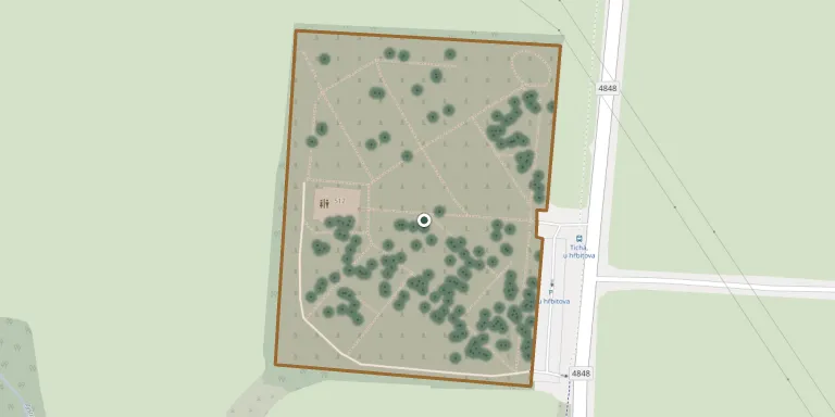
The municipal cemetery of Frenštát pod Radhoštěm lies between the town and the neighbouring village of Tichá. A funeral hall stands within the cemetery grounds at the town's exit towards Tichá.
Cemetery location
GPS coordinates: 49.556530° N, 18.215727° E Directions in Google Maps (opens in a new tab)
Memorials
Showing the first 50 of 627, A–Z by surname. Search all records
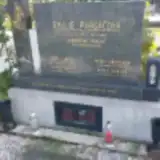 Karel Aberl 1908 – 1969
- Karel Aberl 1939 – 1970
- Marie Aberlová 1912 – 1992
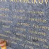 Antonín Adamčík 1867 – 1929
- Josef Adamčík 1911 – 2006
- Anežka Adamčíková 1872 – 1948
- Bohuslava Adamčíková 1902 – 1972
- Marie Adamčíková 1913 – 1990
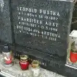 František Aust 1923 – 1996
- Květoslava Austová 1928 – 2010
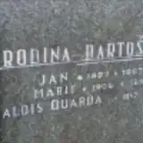 Jan Bartoš 1897 – 1967
- Marie Bartošová 1906 – 1988
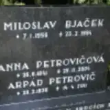 Miloslav Bjaček 1956 – 1994
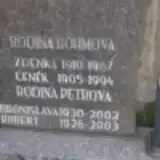 Čeněk Böhm 1905 – 1994
- Zdenka Böhmová 1910 – 1967
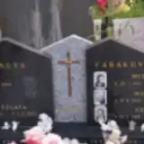 Michal Cabák 1913 – 1987
- Petr Cabák 1960 – 2017
- Marie Cabákova 1929 – 2011
 Anežka Cibulcová 1921 – 2012
- Ludvík Cibulec 1918 – 1995
 Dagmar Dardová 1953 – 2021
 Josef Dobiáš 1916 – 1989
- Zdeněk Dobiáš 1942 – 2013
- Alžběta Dobiášová 1915 – 1988
 Hana Dvorščáková 1942 – 2010
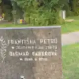 Dagmar Faberová 1949 – 2010
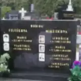 Vlastimil Fojtík 1931 – 2013
- Marie Fojtíková 1927 – 2010
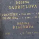 František Gabriel 1907 – 1977
- Františka Gabrielová 1927 – 2000
- Drahomíra Grófová 1927 – 2003
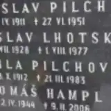 Tomáš Hampl 1944 – 2006
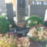 Bohumír Hnilica 1899 – 1971
- Jaroslav Hnilica 1905 – 1966
- Marie Hnilicová 1911 – 1956
- Marta Hnilicová 1911 – 2003
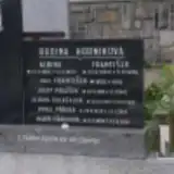 František Horník 1885 – 1958
- František Horník 1855 – 1942
- Albina Horníková 1882 – 1952
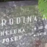 Josef Hrach 1914 – 1992
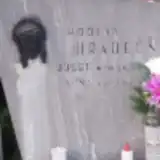 Josef Hradečný 1911 – 1972
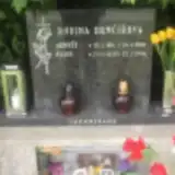 Arnošt Hrnčíř 1911 – 1998
- Marie Hrnčířova 1920 – 2006
 Marie Hrušková 1878 – 1947
 Karel Humplík 1949 – 2007
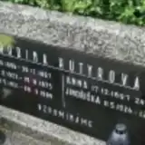 Jan Hutyr 1896 – 1967
- Zdeněk Hutyr 1921 – 1989
- Josef Hutyra 1923 – 1975
- Jindřiška Hutyrová 1924 – 2009
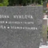 Milan Hykl 1925 – 1979
Looking for someone who isn't listed? Request a photo.
Nearby cemeteries
The closest other burial grounds listed on EveryStone.
- Tichá na Moravě St. Nicholas Churchyard 1.6 km away · Tichá · 127 records
- St. Nicholas Churchyard, Tichá 1.7 km away · Tichá · 58 records
- Kunčice pod Ondřejníkem Cemetery 3.3 km away · Kunčice pod Ondřejníkem · 80 records
- Lichnov Cemetery near Nový Jičín 3.7 km away · Lichnov · 125 records
- Kopřivnice-Vlčovice Cemetery 4.2 km away · Kopřivnice · 58 records
- Bordovice Cemetery 4.2 km away · Bordovice · 36 records
- Kozlovice Cemetery 4.9 km away · Kozlovice · 162 records
- Kopřivnice-Mniší Cemetery 5.2 km away · Kopřivnice · 37 records
- Kopřivnice Cemetery 6.1 km away · Kopřivnice · 372 records
- Kopřivnice Old Cemetery 6.7 km away · Kopřivnice
Contribute with the app
Our website works smoothly on both desktop and mobile devices. Prefer a native app? Check it out below.
- Capture clear headstone photos
- Save GPS grave locations automatically
- Transcribe inscriptions with our AI
- Suggest corrections to existing records
Common questions
How big is Frenštát pod Radhoštěm Cemetery?
Frenštát pod Radhoštěm Cemetery covers about 30,000 m² (7.3 acres), about the size of 4 soccer fields. It is the 18th largest of the 472 cemeteries we list in Moravian-Silesian Region.
What is the oldest grave in this cemetery?
The oldest grave among the records we hold for Frenštát pod Radhoštěm Cemetery is that of Františka Polanská, who died in 1909 at the age of 54.