
Cemetery #27309
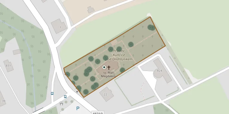
Kunčice pod Ondřejníkem Cemetery
Local name: Hřbitov Kunčice pod Ondřejníkem
Also known as Rimskokatolicka farnost Kuncice pod Ondrejnikem
80
documented records
≈ 110–220
approx. capacity (graves)
5,620 m²
cemetery area
Nov 5, 2026
last modified
About this cemetery
Kunčice pod Ondřejníkem Cemetery lies in Moravian-Silesian Region, Czechia.
Cemetery location
GPS: GPS coordinates: 49.550999° N, 18.261200° E Directions in Google Maps (opens in a new tab)
Memorials
Showing the first 50 of 80, A–Z by last name. Search all records
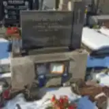 Vlastimil Beránek 1907 – 1975
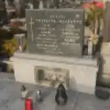 Zdeňka Blažková 1927 – 2018
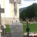 Josef Brázdil 1828 – 1901
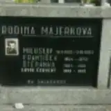 Ervín Červený 1909 – 1992
 Bohumila Fajkusová 1956 – 2013
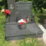 Břetislav Hofman 1921 – 1999
- Libuše Hofmanová 1930 – 2001
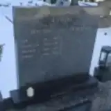 Antonín Ikáč 1930 – 1983
- František Ikáč 1877 – 1942
- Ján Ikáč 1903 – 1965
 Viktor Janečka 1906 – 1993
- Amálie Janečková 1908 – 1993
 Tomáš Kahánek 1895 – 1972
- Vladimír Kahánek 1953 – 2012
- Aloisie Kahánková 1899 – 1980
- Božena Kahánková 1923 – 1943
 Oldřiška Káňová 1918 – 1989
 Břetislav Knapek 1937 – 1996
- Pavel Knapek 1962 – 2011
- Jiřina Knapková 1941 – 2008
- Josef Konvička 1900 – 1978
- Blažena Konvičková 1908 – 1974
- Ludmila Langrová 1937 – 2016
- Miloslav Majerek 1921 – 1953
 Alfons Majerka 1909 – 1975
- Alfons Majerka 1933 – 2000
- František Majerka 1865 – 1934
- František Majerka 1894 – 1970
- Emilie Majerková 1910 – 1987
- Františka Majerková 1865 – 1936
- Štěpánka Majerková 1894 – 1981
 Josef Maralík 1919 – 2002
- Josef Maralík 1886 – 1959
- Anežka Maralíková 1892 – 1976
- Miroslava Maralíková 1922 – 2011
 Josef Michna 1874 – 1956
- Robert Michna 1916 – 2001
- Vlastimil Michna 1946 – 2001
- Pavla Michnova 1876 – 1954
- Stázka Michnova 1911 – 1997
 Stanislav Morysak 1937 – 1992
- Jan Morysák 1894 – 1955
- Antonie Morysaková 1881 – 1953
- Vlasta Morysaková 1936 – 1986
 Vojtěch Musial 1947 – 1985
 Adolf Pěkník 1879 – 1949
- Bedřich Pěkník 1906 – 1989
- František Pěkník 1835 – 1909
- Antonie Pěkníková 1880 – 1928
- Ludmila Pěkníková 1890 – 1964
Looking for someone who isn't listed? Request a photo.
Nearby cemeteries
The closest other burial grounds listed on EveryStone.
- Frenštát pod Radhoštěm Cemetery 3.3 km away · Frenštát · 627 records
- Tichá na Moravě St. Nicholas Churchyard 3.4 km away · Tichá · 127 records
- St. Nicholas Churchyard, Tichá 3.5 km away · Tichá · 58 records
- Dřevěný kostel sv. Prokopa a sv. Barbory 3.5 km away · Kunčice pod Ondřejníkem · 45 records
- Kozlovice Cemetery 4.6 km away · Kozlovice · 162 records
- Lhotka Cemetery near Frýdek-Místek 5.1 km away · Lhotka · 84 records
- Čeladná Cemetery 5.5 km away · Čeladná · 399 records
- Kopřivnice-Vlčovice Cemetery 6.7 km away · Kopřivnice · 58 records
- Lichnov Cemetery near Nový Jičín 7.0 km away · Lichnov · 125 records
- Kopřivnice-Mniší Cemetery 7.3 km away · Kopřivnice · 37 records
Contribute with the app
Our website works smoothly on both desktop and mobile devices. Prefer a native app? Check it out below.
- Capture clear headstone photos
- Save GPS grave locations automatically
- Transcribe inscriptions with our AI
- Suggest corrections to existing records
Common questions
How big is Kunčice pod Ondřejníkem Cemetery?
Kunčice pod Ondřejníkem Cemetery covers about 5,620 m² (1.4 acres), about the size of a soccer field. It is the 132nd largest of the 472 cemeteries we list in Moravian-Silesian Region.
What is the oldest grave in this cemetery?
The oldest grave among the records we hold for Kunčice pod Ondřejníkem Cemetery is that of Josef Brázdil, who died on April 16, 1901 at the age of 72.