
Cemetery #183894
Randers North Churchyard
Local name: Randers Nordre Kirkegård
Also known as Nordre Kirkegård · Randers North Cemetery
110
documented records
≈ 2,100–4,200
approx. capacity (graves)
0.106 km²
cemetery area
Nov 5, 2026
last modified
About this cemetery
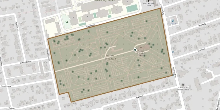
Nordre Kirkegård is in the north-eastern part of Randers and covers about 11 hectares. It was laid out between 1917 and 1919, with work continuing to about 1922, to a symmetrical design by the garden architect Erik Erstad-Jørgensen, and was inaugurated in 1919. It is run by Randers Municipality, together with Østre Kirkegård, as one of only two municipally run cemeteries in the town. A memorial grove for airmen is located by the Nordre chapel.
Cemetery location
GPS: GPS coordinates: 56.475156° N, 10.039902° E Directions in Google Maps (opens in a new tab)
Memorials
Showing the first 50 of 110, A–Z by last name. Search all records
 Birthe Andersen 1925 – 2012
 Chr. Christensen 1909 – 1989
 Ingelise Christensen 1944 – 2020
- Kirstine Christensen 1912 – 1978
 Knud Christensen 1925 – 2007
 Martha Christensen ? – 1991
- Max Christensen 1905 – 1985
 Søren Christensen 1922 – 1962
 Grethe Christiansen 1920 – 1980
- Käthe Christiansen 1881 – 1953
- Ninna Christiansen 1913 – 2000
- Otto Christiansen 1907 – 1984
- Ove Christiansen 1917 – 1990
 Vinnie Christiansen 1969 – 2017
- Gudrun Christiensen 1919 – 1995
 Hansen Dahl 1950 – 2024
- Hansen Dahl 1915 – 1999
 Gitte Dahlgård 1957 – 2007
 Esther Damgaard 1917 – 1978
- Søren Damgaard 1919 – 2001
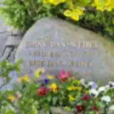 Inge Dan-Weibel 1929 – 2022
- Tonny Dan-Weibel 1929 – 1988
 Carl Dichmann Jensen 1916 – 2000
- Ellen Dichmann Jensen 1916 – 2010
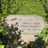 Marie Dorph Udengaard 1942 – 2016
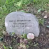 Henrik Drachmann Christensen 1965 – 2022
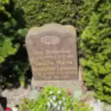 Cecilie Drescher 1888 – 1942
- Chr. Drescher 1888 – 1971
 Lars Elefsen 1950 – 1992
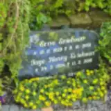 Erna Erichsen 1929 – 2001
- Henry Eriehsen Jage 1924 – 2016
 Karen Eriksen 1933 – 2024
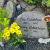 Connie Eskildsen 1937 – 2019
- Leo Eskildsen 1923 – 2005
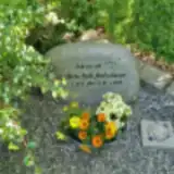 Birte Falk Andreassen 1941 – 2019
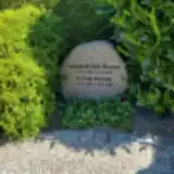 Annabeth Falk Hansen 1938 – 2009
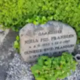 Niels Fiil Frandsen 1930 – 1987
 Bruno Flæng 1947 – 2013
- Gunhild Frandsen 1933 – 2019
 Aage Friis 1921 – 2004
- Anna Friis 1927 – 2005
 Emmy From 1936 – 2015
- Leif From 1933 – 2024
 Else Fruerlund 1924 – 2016
 Harry Fynboe 1905 – 2004
 Per Gaardsøe 1942 – 2017
 Lotte Gerding 1966 – 2021
 Michael Grundtvig 1986 – 2014
 Grete Haagensen 1936 – 2022
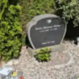 Emilie Hammer Nielsen 1989 – 2018
Looking for someone who isn't listed? Request a photo.
Nearby cemeteries
The closest other burial grounds listed on EveryStone.
- Randers East Churchyard 1.2 km away · Randers · 169 records
- Randers Jewish Cemetery 1.3 km away · Randers · 15 records
- Randers Monastery Churchyard 1.8 km away · Randers · 14 records
- Hornbæk Churchyard 3.3 km away · Randers · 33 records
- Lem Churchyard 3.5 km away · Randers · 6 records
- Vorup Churchyard 3.6 km away · Randers · 108 records
- Kristrup Cemetery 3.9 km away · Randers · 262 records
- Gimming Churchyard 4.1 km away · Randers · 11 records
- Randers South Urn Cemetery 4.7 km away · Randers
- Borup Churchyard 4.7 km away · Randers · 26 records
Contribute with the app
Our website works smoothly on both desktop and mobile devices. Prefer a native app? Check it out below.
- Capture clear headstone photos
- Save GPS grave locations automatically
- Transcribe inscriptions with our AI
- Suggest corrections to existing records
Common questions
How big is Randers North Churchyard?
Randers North Churchyard covers about 10.6 hectares (106,000 m²), about the size of 15 soccer fields. It is the 3rd largest of the 656 cemeteries we list in Central Denmark Region.
What is the oldest grave in this cemetery?
The oldest grave among the records we hold for Randers North Churchyard is that of Cecilie Marie Drescher, who died on November 14, 1942 at the age of 54.