
Cemetery #183928
Randers East Churchyard
Local name: Randers Østre Kirkegård
Also known as Østre Kirkegård
169
documented records
≈ 1,600–3,300
approx. capacity (graves)
0.082 km²
cemetery area
Nov 5, 2026
last modified
About this cemetery
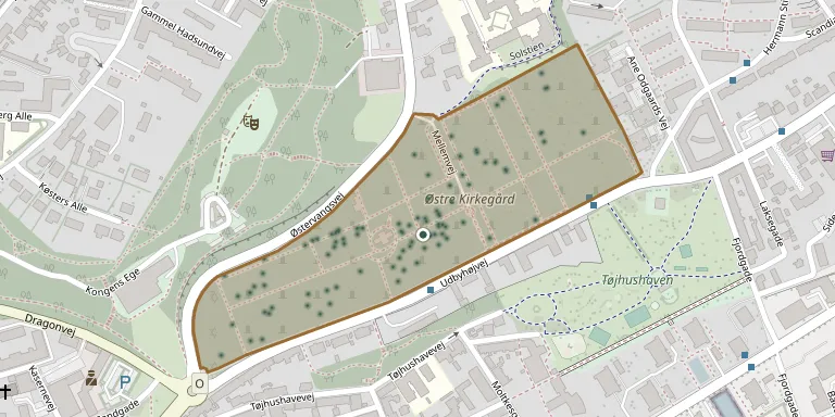
Østre Kirkegård lies in the eastern part of Randers and was inaugurated in 1811. It covers about 7.5 hectares and is run by Randers Municipality. The cemetery was originally named Dødsminde, and its burials include honorary citizen Hermann Stilling and merchant Johan Ankerstjerne.
Cemetery location
GPS coordinates: 56.464955° N, 10.047899° E Directions in Google Maps (opens in a new tab)
Memorials
Showing the first 50 of 169, A–Z by surname. Search all records
 Samer Abdullah 2003 – 2022
 Signe Andersen 1894 – 1950
 Rasmus Arffmann 1876 – 1973
 Christian Bach-Sørensen 1945 – 2024
 Ane Bang 1817 – 1848
 Harald Bartholdy 1891 – 1976
 Peter Boldsen 1815 – 1885
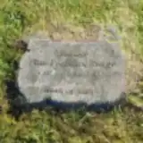 Finn Brogaard Werge 1932 – 2013
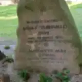 Adolf Buhl 1847 – 1915
- Charlotte Buhl 1856 – 1948
- Paul Buhl ? – 1943
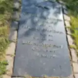 Ane Christensen 1885 – 1947
- Frederik Christensen 1886 – 1968
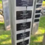 Grete Christensen 1911 – 2012
 Johannes Christensen 1883 – 1940
- Kirstine Christensen 1890 – 1976
- Knud Christensen 1916 – 1987
- Povl Christensen 1905 – 1982
- Ninna Christiansen 1913 – 2000
- Otto Christiansen 1907 – 1984
 Einar Fischer Jensen 1920 – 2003
- Dann Grundtvig 1907 – 1986
 Frits Hansen 1927 – 2013
 Rita Hansen 1936 – 2020
- Hans Harder 1890 – 1982
- Mary Harder 1898 – 1970
 Anine Henriksen 1861 – 1943
 Jens Hjort 1928 – 2010
 Inger Holmgrün 1946 – 2019
 Adan Ibrahim 1950 – 2021
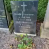 Bodil Jensen 1921 – 2003
 Ingvar Jensen 1903 – 1966
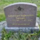 Johannes Jensen 1927 – 2011
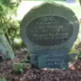 Karla Jensen 1909 – 1933
- K.V. Jensen 1917 – 2004
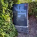 Madsine Jensen 1880 – 1962
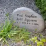 Poul Juhl Jeppesen 1930 – 2006
 Gerda Kiger 1937 – 2020
- Grethe Kjær 1929 – 2018
 Astrid Kjærgaard 1916 – 2004
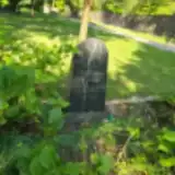 Niels Knudsen 1854 – 1904
- Kirsten Kristensen 1927 – 2021
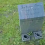 Jensen Krüger 1966 – 2024
- Lene Krüger Jensen 1961 – 2010
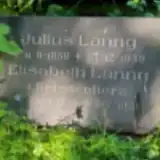 Elisabeth Lanng 1855 – 1918
- Julius Lanng 1858 – 1939
 Johannes Lerche 1851 – 1926
 Knud Lundbergh 1938 – 2019
- Lis Lundbergh 1943 – 2022
- Anna Lund Jensen 1904 – 1986
Looking for someone who isn't listed? Request a photo.
Nearby cemeteries
The closest other burial grounds listed on EveryStone.
- Randers Jewish Cemetery 290 m away · Randers · 15 records
- Randers Monastery Churchyard 1.2 km away · Randers · 14 records
- Randers North Churchyard 1.2 km away · Randers · 110 records
- Vorup Churchyard 2.5 km away · Randers · 108 records
- Kristrup Cemetery 2.7 km away · Randers · 262 records
- Randers South Urn Cemetery 3.5 km away · Randers
- Hornbæk Churchyard 3.5 km away · Randers · 33 records
- Lem Churchyard 4.4 km away · Randers · 6 records
- Gimming Churchyard 4.4 km away · Randers · 11 records
- Haslund Churchyard 5.5 km away · Randers · 19 records
Contribute with the app
Our website works smoothly on both desktop and mobile devices. Prefer a native app? Check it out below.
- Capture clear headstone photos
- Save GPS grave locations automatically
- Transcribe inscriptions with our AI
- Suggest corrections to existing records
Common questions
How big is Randers East Churchyard?
Randers East Churchyard covers about 82,000 m² (20 acres), about the size of 12 soccer fields. It is the 5th largest of the 656 cemeteries we list in Central Denmark Region.
What is the oldest grave in this cemetery?
The oldest grave among the records we hold for Randers East Churchyard is that of Ane Hedevig Møller, who died in 1814 at the age of 37.