
45
documented records
≈ 200–400
approx. capacity (graves)
9,880 m²
cemetery area
Oct 18, 2026
last modified
About this cemetery
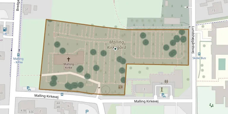
Malling Churchyard lies at Malling Church in Beder-Malling Parish, south of Aarhus, and is laid out as a well-kept park. The churchyard was fortified, and until 1874 it was surrounded by a fieldstone wall. Excavations in the first half of the 20th century uncovered parts of the wall's south-eastern section.
Cemetery location
GPS coordinates: 56.039759° N, 10.195362° E Directions in Google Maps (opens in a new tab)
Memorials
45 memorials, A–Z by surname.
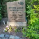 Svend Anthonsen 1919 – 1974
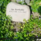 Jan Bartholdy 1956 – 2022
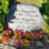 Egon Borggreen 1920 – 1922
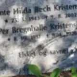 Per Bregnballe Kristensen 1937 – 2020
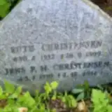 Ruth Christensen 1932 – 1999
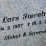 Lars Færch 1957 – 2021
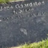 Jens Gaardsted Nielsen 1931 – 2014
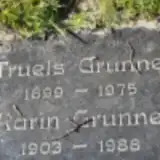 Karin Grunnet 1903 – 1988
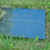 Ebbe Gyldenkrone-Rysensteen 1901 – 1970
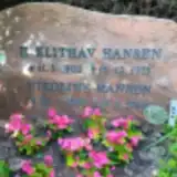 Nikoline Hansen 1905 – 1994
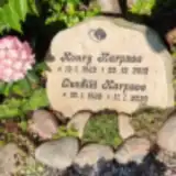 Gunhild Harpsøe 1939 – 2020
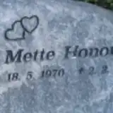 Mette Honoré 1970 – 2017
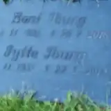 Bent Iburg 1931 – 2018
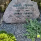 Aksel Jensen 1885 – 1959
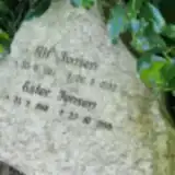 Alf Jensen 1911 – 1992
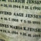 Per Jensen 1944 – 1992
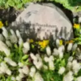 Viggo Jscobsen 1927 – 2015
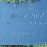 Niels Juul 1951 – 2019
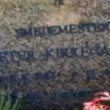 Johanne Kirkegaard 1887 – 1978
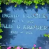 Palle Krøger 1922 – 1974
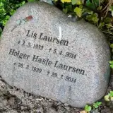 Lis Laursen 1932 – 2014
 Preben Linaa 1945 – 2020
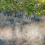 Viggo Loft Nielsen 1929 – 1992
 Jørn Lundgård 1938 – 2008
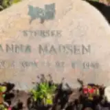 Anna Madsen 1904 – 1949
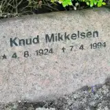 Knud Mikkelsen 1924 – 1994
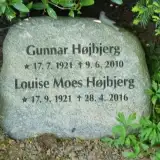 Louise Moes Højbjerg 1921 – 2016
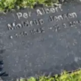 Per Møldrup Jensen 1942 – 2015
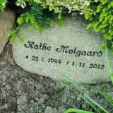 Kathe Mølgaard 1944 – 2012
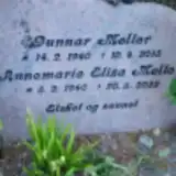 Gunnar Møller 1940 – 2015
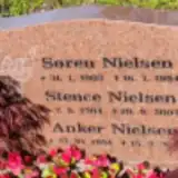 Anker Nielsen 1934 – 2020
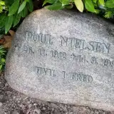 Poul Nielsen 1912 – 1994
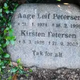 Kirsten Petersen 1928 – 2003
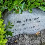 Lillian Poulsen 1928 – 2000
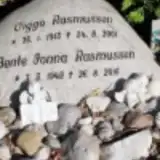 Bente Rasmussen 1942 – 2016
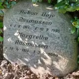 Margrethe Rasmussen 1911 – 2000
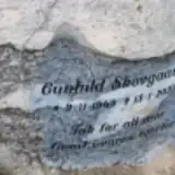 Gunhild Skovgaard 1949 – 2022
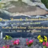 Marie Sønnichsen 1887 – 1976
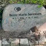 Bente Sørensen 1936 – 2021
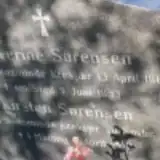 Kirsten Sørensen 1859 – 1942
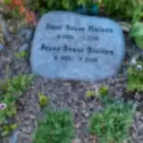 Ibert Svare Nielsen 1924 – 2001
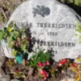 Dagmar Therkildsen 1913 – 1985
 Margrethe Therkildsen 1924 – 2014
 Erna Thomsen 1920 – 1994
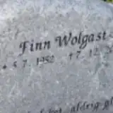 Finn Wolgast 1952 – 2022
Looking for someone who isn't listed? Request a photo.
Nearby cemeteries
The closest other burial grounds listed on EveryStone.
- Beder Churchyard 2.6 km away · Beder-Malling · 41 records
- Tulstrup Churchyard 3.4 km away · Tulstrup · 12 records
- Mårslet Churchyard 3.8 km away · Mårslet
- Nølev Churchyard 4.9 km away · Nølev
- Astrup Churchyard 5.7 km away · Astrup
- Tiset Churchyard 6.7 km away · Tiset
- Tranbjerg Kirke 6.9 km away · Tranbjerg
- Odder Sogns Churchyard 7.4 km away · Odder
- Odder Elective Congregation Churchyard 7.5 km away · Odder · 38 records
- Saxild Churchyard 7.7 km away · Saksild
Contribute with the app
Our website works smoothly on both desktop and mobile devices. Prefer a native app? Check it out below.
- Capture clear headstone photos
- Save GPS grave locations automatically
- Transcribe inscriptions with our AI
- Suggest corrections to existing records
Common questions
How big is Malling Churchyard?
Malling Churchyard covers about 9,880 m² (2.4 acres), about the size of a soccer field. It is the 133rd largest of the 656 cemeteries we list in Central Denmark Region.
What is the oldest grave in this cemetery?
The oldest grave among the records we hold for Malling Churchyard is that of Egon Borggreen, who died on November 28, 1922 at the age of 2.