
41
documented records
≈ 150–310
approx. capacity (graves)
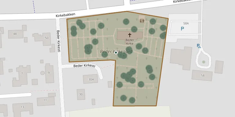
7,730 m²
cemetery area
Oct 18, 2026
last modified
About this cemetery
Beder Churchyard was laid out immediately after the original Beder Church was completed in the late 1100s. The church dates from around 1150, and the cemetery is the primary burial place for many local families in Beder-Malling, Aarhus.
Cemetery location
GPS coordinates: 56.059517° N, 10.216446° E Directions in Google Maps (opens in a new tab)
Memorials
41 memorials, A–Z by surname.
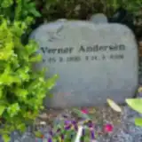 Verner Andersen 1938 – 2006
 Jan Bidmann 1958 – 2019
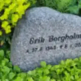 Erik Borgholm 1945 – 2020
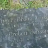 Inger Braae Jensen 1945 – 1998
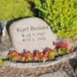 Kurt Brouer 1947 – 2002
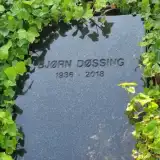 Bjørn Døssing 1936 – 2018
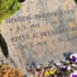 Edith Frederiksen 1923 – 1999
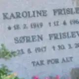 Karoline Frislev 1919 – 1969
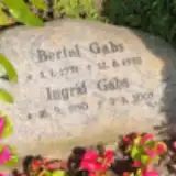 Ingrid Gabs 1930 – 2002
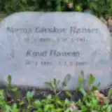 Norma Givskov Hansen 1925 – 1994
 Ole Grimm 1938 – 2008
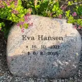 Eva Hansen 1921 – 2015
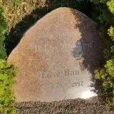 Marie Hansen 1889 – 1992
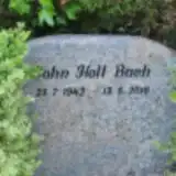 John Holt Bach 1942 – 2010
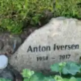 Anton Iversen 1954 – 2017
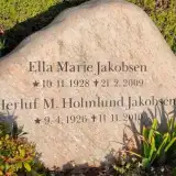 Ella Jakobsen 1928 – 2009
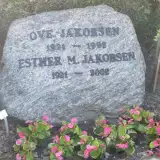 Esther Jakobsen 1921 – 2002
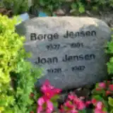 Børge Jensen 1927 – 1991
 Erling Jensen 1916 – 2011
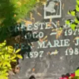 Karen Jensen 1897 – 1981
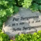 Per Jørgensen 1938 – 2018
 Anna Jorlet 1924 – 2013
 Børge Kahr 1921 – 1987
 Frederik Karlby 1885 – 1935
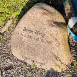 Brian Krog 1958 – 1999
 Gert Leth Fischer 1944 – 2018
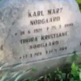 Karl Marz Nørgard 1921 – 1999
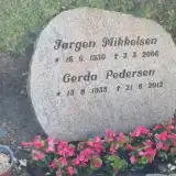 Jørgen Mikkelsen 1930 – 2006
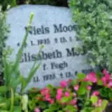 Elisabeth Moos 1935 – 2020
 Anders Nielsen 1922 – 2012
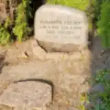 Paul Nielsen 1915 – 2013
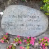 Vibeke Nilsson 1920 – 1985
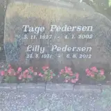 Lilly Pedersen 1931 – 2012
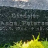 Aage Petersen 1944 – 1993
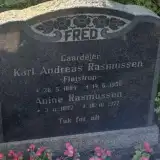 Anine Rasmussen 1892 – 1977
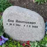 Ena Rasmussen 1941 – 2023
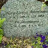 Lis Rasmussen 1924 – 2017
 Petrea Rasmussen 1883 – 1970
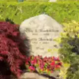 Birgitte Therkildsen 1911 – 2001
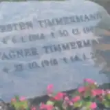 Kirsten Timmermann 1914 – 1982
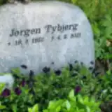 Jørgen Tybjerg 1951 – 2021
Looking for someone who isn't listed? Request a photo.
Nearby cemeteries
The closest other burial grounds listed on EveryStone.
- Malling Churchyard 2.6 km away · Beder-Malling · 45 records
- Mårslet Churchyard 3.6 km away · Mårslet
- Tulstrup Churchyard 5.7 km away · Tulstrup · 12 records
- Frederikskirkens Churchyard 5.8 km away · Højbjerg
- Tranbjerg Kirke 6.2 km away · Tranbjerg
- Holme Churchyard 6.6 km away · Holme
- Nølev Churchyard 7.3 km away · Nølev
- Tiset Churchyard 7.5 km away · Tiset
- Astrup Churchyard 7.6 km away · Astrup
- Fredens Churchyard 8.0 km away · Århus
Contribute with the app
Our website works smoothly on both desktop and mobile devices. Prefer a native app? Check it out below.
- Capture clear headstone photos
- Save GPS grave locations automatically
- Transcribe inscriptions with our AI
- Suggest corrections to existing records
Common questions
How big is Beder Churchyard?
Beder Churchyard covers about 7,730 m² (1.9 acres), about the size of a soccer field. It is the 200th largest of the 656 cemeteries we list in Central Denmark Region.
What is the oldest grave in this cemetery?
The oldest grave among the records we hold for Beder Churchyard is that of Frederik Karlby, who died on October 7, 1935 at the age of 50.