
285
documented records
≈ 900–1,800
approx. capacity (graves)
0.045 km²
cemetery area
Nov 5, 2026
last modified
About this cemetery
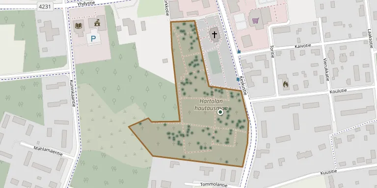
Hartola Cemetery lies in the middle of the church village, in the immediate vicinity of the church, and is run by the Tainionvirta parish. It was moved from the old church to its present location in about 1776. An old morgue also stands on the site.
Cemetery location
GPS coordinates: 61.577245° N, 26.020556° E Directions in Google Maps (opens in a new tab)
Memorials
Showing the first 50 of 285, A–Z by surname. Search all records
 Siiri Aaltonen 1907 – 1995
 Anna Ahvenainen 1852 – 1933
 Eila Heino 1922 – 1949
- Johan Heino 1892 – 1963
- Anja Kantonen 1929 – 1990
- Veikko Kantonen 1925 – 1990
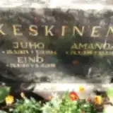 Amanda Keskinen 1884 – 1968
- Eino Keskinen 1911 – 1990
- Juho Keskinen 1874 – 1946
 Paavo Kettunen 1938 – 2020
- Tuula Kettunen 1940 – 2021
 Anna Kiiski 1884 – 1969
- Maire Kiiski 1915 – 1997
- Pirkko Kiiski 1948 – 1949
- Väinö Kiiski 1916 – 1974
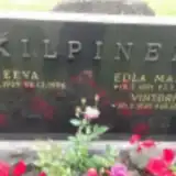 Edla Kilpinen 1891 – 1956
- Eeva Kilpinen 1929 – 1996
- Vihtori Kilpinen 1929 – 2011
- Antti Kirveslahti 1842 – 1911
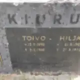 Hilja Kiuru 1902 – 1972
- Toivo Kiuru 1898 – 1960
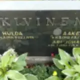 Aake Kivinen 1912 – 1997
- Ari Kivinen 1954 – 2024
- Hulda Kivinen 1914 – 1994
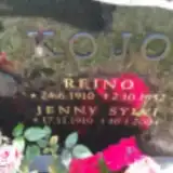 Jenny Kojo 1910 – 2004
- Reino Kojo 1910 – 1952
 Lauri Kolho ? – 2006
- Marja Kolho 1946 – 2007
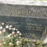 Arndt Koskinen 1877 – 1971
 Fredrika Koskinen ? – 1949
 Johannes Koskinen 1893 – 1966
- Kalle Koskinen 1891 – 1972
- Lyydia Koskinen 1918 – 2003
- Olga Koskinen 1892 – 1987
- Vendla Koskinen 1886 – 1960
- Viljo Koskinen 1917 – 1992
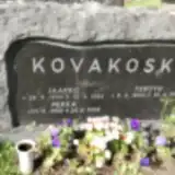 Jaakko Kovakoski 1930 – 1986
- Pekka Kovakoski 1959 – 2008
- Terttu Kovakoski 1940 – 1995
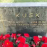 Anna Kusk 1895 – 1986
- Toivo Kusk 1888 – 1973
 Lyydia Laaksonen 1916 – 2011
- Väinö Laaksonen 1900 – 1978
 Lauri Läderberg 1944 – 2022
- Pirkko Läderberg 1945 – 2023
 Johan Lahtinen 1890 – 1960
 Laina Lahtinen 1934 – 2015
- Naimi Lahtinen 1889 – 1969
- Reino Lahtinen 1942 – 1988
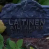 Aili Laitinen 1908 – 1971
Looking for someone who isn't listed? Request a photo.
Nearby cemeteries
The closest other burial grounds listed on EveryStone.
- Hartola Heroes' Cemetery 120 m away · Hartola · 6 records
- Joutsa Heroes' Cemetery 19 km away · Joutsa · 6 records
- Joutsa Cemetery 19 km away · Keski-Suomi · 131 records
- Nuoramoinen Cemetery 19 km away · Nuoramoinen
- Otamo Cemetery 20 km away · Päijät-Häme · 142 records
- Sysmä Church Village Cemetery 21 km away · Sysmä · 6 records
- Sysmä Heroes' Cemetery 21 km away · Suurikylä
- Pertunmaa Heroes' Cemetery 26 km away · Pertunmaa · 7 records
- Pertunmaa Old Cemetery 26 km away · Pertunmaa · 118 records
- Pertunmaa New Cemetery 26 km away · Pertunmaa · 66 records
Contribute with the app
Our website works smoothly on both desktop and mobile devices. Prefer a native app? Check it out below.
- Capture clear headstone photos
- Save GPS grave locations automatically
- Transcribe inscriptions with our AI
- Suggest corrections to existing records
Common questions
How big is Hartola Cemetery?
Hartola Cemetery covers about 45,000 m² (11 acres), about the size of 6 soccer fields. It is the 7th largest of the 36 cemeteries we list in Päijät-Häme.
What is the oldest grave in this cemetery?
The oldest grave among the records we hold for Hartola Cemetery is that of Johan Wilhelminpoika Mikkola, who died on May 1, 1875 at the age of 26.