
142
documented records
≈ 630–1,300
approx. capacity (graves)
0.031 km²
cemetery area
Nov 5, 2026
last modified
About this cemetery
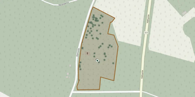
Otamo Cemetery in Sysmä belongs to Tainionvirta parish and has a memorial to those who died on the Red side in 1918. The cemetery next to Otamo Chapel was completed in 1890, while the chapel itself was completed in 1939 and seats a maximum of about 80 people.
Cemetery location
GPS coordinates: 61.471825° N, 25.709755° E Directions in Google Maps (opens in a new tab)
Memorials
Showing the first 50 of 142, A–Z by surname. Search all records
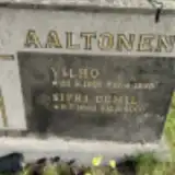 Sipri Aaltonen 1923 – 2009
- Vilho Aaltonen 1918 – 1935
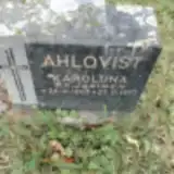 Karoliina Ahlqvist 1863 – 1957
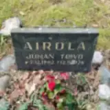 Johan Airola 1902 – 1976
 Seppo Blinnikka 1944 – 2009
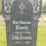 Eva Brunila 1845 – 1909
- Filip Brunila 1837 – 1920
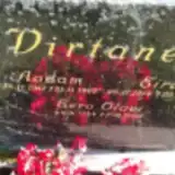 Aadam Dirtanen 1912 – 1965
- Eira Dirtanen 1914 – 1960
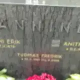 Anitra Hänninen 1917 – 2003
- Tuomas Hänninen 1983 – 2008
- Veikko Hänninen 1910 – 1970
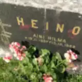 Aini Heino 1907 – 1989
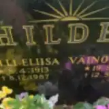 Väinö Hildén 1908 – 1994
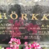 Hilma Hörkkö 1923 – 2003
- Hugo Hörkkö 1886 – 1961
- Jouni Hörkkö 1966 – 1966
- Katri Hörkkö 1887 – 1971
- Lauri Hörkkö 1919 – 2007
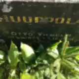 Otto Huuppola 1884 – 1961
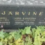 Anna Järvinen 1855 – 1946
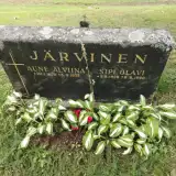 Aune Järvinen 1929 – 1975
- Erkki Järvinen 1895 – 1977
- Helmi Järvinen 1911 – 1982
- Johanna Järvinen 1893 – 1972
- Juho Järvinen 1858 – 1937
- Maria Järvinen 1884 – 1976
- Sipi Järvinen 1928 – 1996
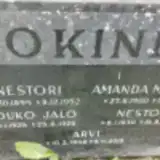 Amanda Jokinen 1900 – 1983
- Arvi Jokinen 1942 – 2015
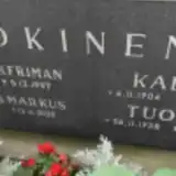 Irma Jokinen 1942 – 2020
- Jouko Jokinen 1926 – 1928
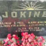 Kauko Jokinen 1924 – 1976
- Nestor Jokinen 1930 – 2010
- Nestori Jokinen 1894 – 1952
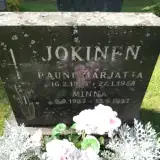 Rauni Jokinen 1954 – 1958
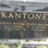 Toivo Kantonen 1926 – 2011
- Vieno Kantonen 1928 – 2002
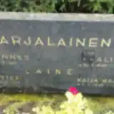 Alina Karjalainen 1900 – 1960
- Antti Karjalainen 1907 – 1969
- Kaija Karjalainen 1935 – 2016
- Lauri Karjalainen 1934 – 2008
 Eeva Kauppila 1853 – 1909
- Eeva Kauppila 1886 – 1964
- Johannes Kauppila 1894 – 1935
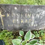 Oskari Koskinen 1893 – 1955
 Sinikka Kuparinen 1944 – 2001
 Hilma Kuusinen 1898 – 1963
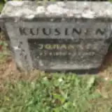 Johannes Kuusinen 1896 – 1957
- Leo Kuusinen 1927 – 2012
Looking for someone who isn't listed? Request a photo.
Nearby cemeteries
The closest other burial grounds listed on EveryStone.
- Sysmä Church Village Cemetery 3.5 km away · Sysmä · 6 records
- Sysmä Heroes' Cemetery 3.5 km away · Suurikylä
- Nuoramoinen Cemetery 10 km away · Nuoramoinen
- Kalkkinen Cemetery 18 km away · Asikkala · 13 records
- Hartola Cemetery 20 km away · Hartola · 285 records
- Hartola Heroes' Cemetery 20 km away · Hartola · 6 records
- Padasjoki Cemetery 26 km away · Saksala
- Papinsaari Cemetery 29 km away · Kuhmoinen · 45 records
- Asikkala Cemetery 31 km away · Asikkala · 24 records
- Heinola Old Cemetery 31 km away · Heinola · 257 records
Contribute with the app
Our website works smoothly on both desktop and mobile devices. Prefer a native app? Check it out below.
- Capture clear headstone photos
- Save GPS grave locations automatically
- Transcribe inscriptions with our AI
- Suggest corrections to existing records
Common questions
How big is Otamo Cemetery?
Otamo Cemetery covers about 31,000 m² (7.7 acres), about the size of 4 soccer fields. It is the 11th largest of the 36 cemeteries we list in Päijät-Häme.
What is the oldest grave in this cemetery?
The oldest grave among the records we hold for Otamo Cemetery is that of Eeva Kauppila, who died on March 7, 1909 at the age of 55.