
443
documented records
≈ 560–1,100
approx. capacity (graves)
0.028 km²
cemetery area
Nov 5, 2026
last modified
About this cemetery
Siikajoki Cemetery is looked after by the Raahe parish. The war graves in the Siikajoki churchyard hold 53 war dead from 1939 to 1944.
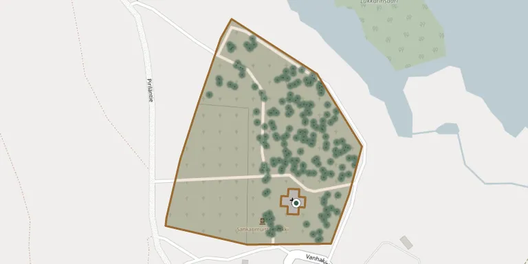
Cemetery location
GPS coordinates: 64.836744° N, 24.736686° E Directions in Google Maps (opens in a new tab)
Memorials
Showing the first 50 of 443, A–Z by surname. Search all records
 Anna Ahola 1844 – 1881
- Antti Ahola 1839 – 1930
 Kustaa Ahola 1876 – 1964
 Gustaf Alapatokoski 1829 – 1892
- Aarne Greus 1941 – 2010
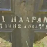 Antti Haapaniemi 1882 – 1903
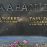 Antti Haapaniemi 1923 – 1971
- Taimi Haapaniemi 1926 – 2016
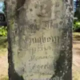 Andreas Hagberg 1823 – 1905
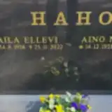 Aila Haho 1926 – 2022
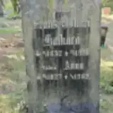 Anna Haikara 1827 – 1902
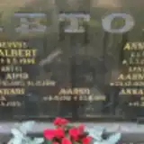 Anna Haikara 1861 – 1948
- Frans Haikara 1832 – 1918
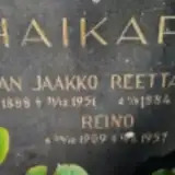 Johan Haikara 1888 – 1951
 Kaisa Haikara 1866 – 1952
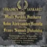 Matti Haikara ? – 1918
- Reetta Haikara 1884 – 1949
- Reino Haikara 1909 – 1957
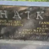 Eino Häikiö 1937 – 1980
- Fanni Häikiö 1913 – 2011
- Väinö Häikiö 1903 – 1976
 Kerttu Hankala 1934 – 2016
- Pekka Hankala 1932 – 2006
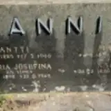 Antti Hannila 1883 – 1966
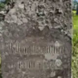 Johan Hannila 1910 – 1912
- Kaisa Hannila 1836 – 1905
 Kustu Hannila 1893 – 1905
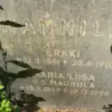 Maria Hannila 1869 – 1956
- Maria Hannila 1895 – 1969
- Matti Hannila 1836 – 1906
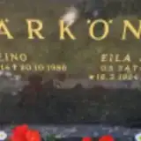 Eila Härkönen 1924 – 1997
- Eino Härkönen 1914 – 1986
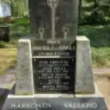 Heikki Härkönen 1842 – 1876
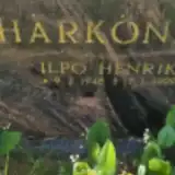 Ilpo Härkönen 1948 – 1999
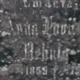 Anna Haviisto 1859 – 1915
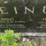 Eero Heinula 1937 – 1937
- Hilja Heinula 1896 – 1975
- Inkeri Heinula 1920 – 1947
- Jaakko Heinula 1896 – 1966
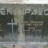 Antti Hiironen 1855 – 1920
- Kaisa Hiironen 1858 – 1918
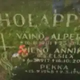 Pekka Holappa 1948 – 1949
- Väinö Holappa 1901 – 1977
- Vieno Holappa 1917 – 2005
- Greta Hugberg 1834 – 1902
 Juho Huhta 1850 – 1931
 Fanni Hummastenniemi 1895 – 1977
- Kustaa Hummastenniemi 1890 – 1956
- Ritva Hummastenniemi 1936 – 1936
 Kaarina Impola 1936 – 1951
Looking for someone who isn't listed? Request a photo.
Nearby cemeteries
The closest other burial grounds listed on EveryStone.
- Revonlahti Cemetery 17 km away · Siikajoki · 114 records
- Pattijoki Old Cemetery 18 km away · Raahe · 89 records
- Pattijoki New Cemetery, Raahe 18 km away · Raahe · 370 records
- Hailuoto Cemetery 19 km away · Hailuoto · 29 records
- Haarala Cemetery, Raahe 21 km away · Raahe · 252 records
- Lumijoki Heroes' Cemetery 21 km away · Lumijoki · 6 records
- Lumijoki Cemetery 21 km away · Lumijoki
- Saloinen Cemetery 25 km away · Raahe · 105 records
- Rantakylä Cemetery 29 km away · Liminka · 354 records
- Liminka Old Cemetery 32 km away · Liminka · 15 records
Contribute with the app
Our website works smoothly on both desktop and mobile devices. Prefer a native app? Check it out below.
- Capture clear headstone photos
- Save GPS grave locations automatically
- Transcribe inscriptions with our AI
- Suggest corrections to existing records
Common questions
How big is Siikajoki Cemetery?
Siikajoki Cemetery covers about 28,000 m² (7 acres), about the size of 4 soccer fields. It is the 24th largest of the 118 cemeteries we list in North Ostrobothnia.
What is the oldest grave in this cemetery?
The oldest grave among the records we hold for Siikajoki Cemetery is that of Elsa Kristiina Riala, who died on May 5, 1874 at the age of 10.