
Cemetery #185376
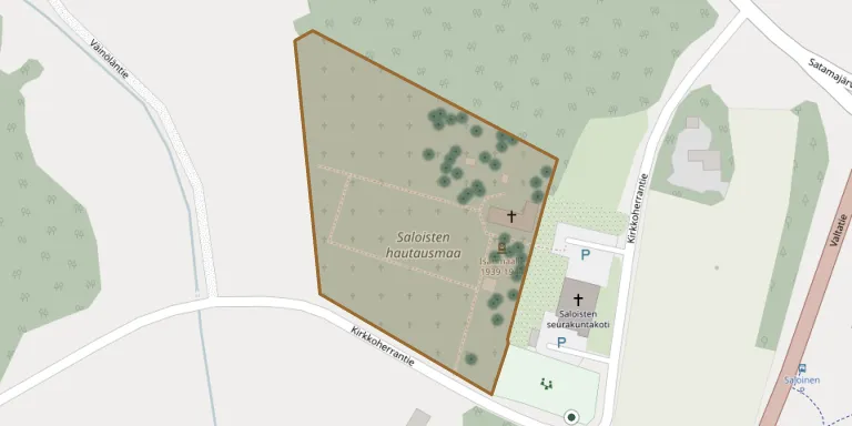
Saloinen Cemetery
Local name: Saloisten hautausmaa
Also known as Saloisten Sankarihautausmaa
105
documented records
≈ 380–760
approx. capacity (graves)
0.019 km²
cemetery area
Nov 5, 2026
last modified
About this cemetery
Saloinen Cemetery surrounds Saloinen Church and is run by the Raahe parish. Its oldest part dates from the 1600s. A town plan has been prepared that allows the cemetery to be expanded.
Cemetery location
GPS: GPS coordinates: 64.649100° N, 24.452450° E Directions in Google Maps (opens in a new tab)
Memorials
Showing the first 50 of 105, A–Z by surname. Search all records
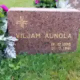 Viljam Aunola 1898 – 1941
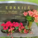 Asta Erkkilä 1941 – 2009
- Erkki Erkkilä 1862 – 1925
- Erkki Erkkilä 1933 – 2003
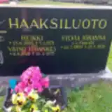 Heikki Haaksiluoto 1898 – 1971
- Sylvia Haaksiluoto 1900 – 1971
- Väinö Haaksiluoto 1928 – 1935
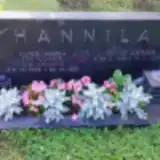 Aune Hannila 1908 – 1958
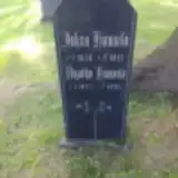 Johan Hannila 1838 – 1915
- Väinö Hannila 1910 – 1991
- Agatha Hännilä 1827 – 1897
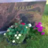 Helena Harald 1983 – 1983
- Leena Harald 1949 – 2013
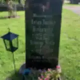 Johan Hekanaho 1852 – 1921
- Johanna Hekanaho 1897 – 1927
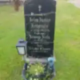 Johanna Hekanaho 1868 – 1923
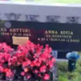 Anna Hokka 1906 – 2000
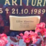 Ellen Hökkä 1948 – 2024
- Jaakko Hökkä 1906 – 1989
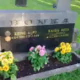 Rauha Honka 1923 – 1991
- Reino Honka 1924 – 2022
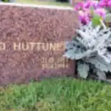 Vilho Huttunen 1917 – 1944
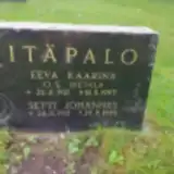 Eeva Itäpalo 1917 – 1997
- Setti Itäpalo 1912 – 1995
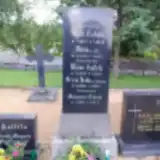 Wäinö Kallela 1889 – 1930
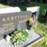 Alpo Kerttula 1930 – 1995
- Anna Kerttula 1934 – 2014
- Atso Kerttula 1959 – 2025
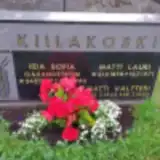 Iida Kiilakoski 1897 – 1950
- Matti Kiilakoski 1898 – 1971
- Matti Kiilakoski 1922 – 1992
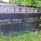 Aarno Kirsilä 1911 – 1986
- Saimi Kirsilä 1905 – 1996
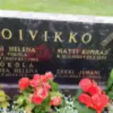 Elmi Koivikko 1910 – 1986
- Erkki Koivikko 1954 – 1954
- Matti Koivikko 1902 – 1959
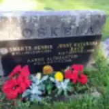 Aarne Koskela 1916 – 1929
- Jenny Koskela 1903 – 1998
- Smerts Koskela 1911 – 1991
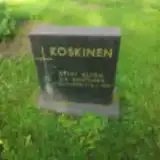 Sylvi Koskinen 1925 – 1987
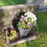 Aukusti Laitala 1905 – 1967
- Emilia Laitala 1863 – 1924
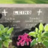 Annikki Leino 1920 – 1943
- Jenni Leino 1879 – 1957
- Juho Leino 1894 – 1956
- Kalevi Leino ? – 1971
- Olavi Leino ? – 1944
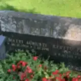 Kerttu Malinen 1911 – 1985
- Matti Malinen 1906 – 1991
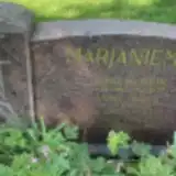 Anna Marjaniemi 1882 – 1911
Looking for someone who isn't listed? Request a photo.
Nearby cemeteries
The closest other burial grounds listed on EveryStone.
- Haarala Cemetery, Raahe 3.8 km away · Raahe · 252 records
- Pattijoki New Cemetery, Raahe 6.9 km away · Raahe · 370 records
- Pattijoki Old Cemetery 7.4 km away · Raahe · 89 records
- Piehinki Cemetery 8.3 km away · Raahe · 1 record
- Pyhäjoki New Cemetery 21 km away · Pyhäjoki · 191 records
- Pyhäjoki Churchyard 22 km away · Pyhäjoki · 173 records
- Siikajoki Cemetery 25 km away · Siikajoki · 443 records
- Revonlahti Cemetery 26 km away · Siikajoki · 114 records
- Vihanti Heroes' Cemetery 31 km away · Raahe · 9 records
- Vihanti Cemetery 32 km away · Raahe · 851 records
Contribute with the app
Our website works smoothly on both desktop and mobile devices. Prefer a native app? Check it out below.
- Capture clear headstone photos
- Save GPS grave locations automatically
- Transcribe inscriptions with our AI
- Suggest corrections to existing records
Common questions
How big is Saloinen Cemetery?
Saloinen Cemetery covers about 19,000 m² (4.7 acres), about the size of 3 soccer fields. It is the 42nd largest of the 118 cemeteries we list in North Ostrobothnia.
What is the oldest grave in this cemetery?
The oldest grave among the records we hold for Saloinen Cemetery is that of Margareta Tokola, who died on March 3, 1873 at the age of 61.