
Cemetery #185300
Pyhäjoki Churchyard
Local name: Pyhäjoen kirkon hautausmaa
Also known as Vanha hautausmaa, Pyhäjoki
173
documented records
≈ 230–460
approx. capacity (graves)
0.012 km²
cemetery area
Nov 5, 2026
last modified
About this cemetery
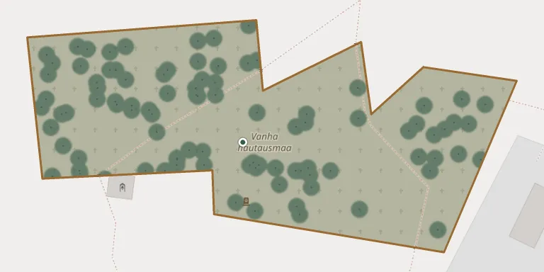
The Pyhäjoki parish has two cemeteries. The old cemetery lies next to the bell tower, and an extension was completed beside it in the early 1980s. The Pyhäjoki church area is described as the oldest cultural layer in the municipality, with the first known church built there in 1586.
Cemetery location
GPS: GPS coordinates: 64.467183° N, 24.253434° E Directions in Google Maps (opens in a new tab)
Memorials
Showing the first 50 of 173, A–Z by surname. Search all records
 Carl Æjmelæus 1796 – 1870
 Sofia Æjmelæus 1803 – 1869
 Aino Åkerblom 1902 – 1971
- Veikko Åkerblom 1913 – 1976
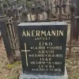 Arvid Åkerman 1888 – 1892
- Eino Åkerman 1886 – 1892
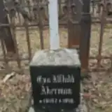 Eva Åkerman 1892 – 1911
- Ivar Åkerman 1890 – 1890
- Lyydi Åkerman 1891 – 1892
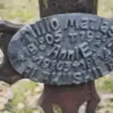 Niilo Alakiiskilä 1905 – 1906
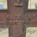 Hilja Annala 1887 – 1902
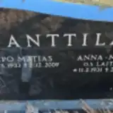 Anna-Maija Anttila 1931 – 2017
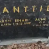 Aune Anttila 1916 – 1993
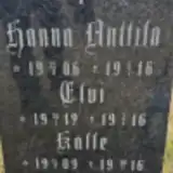 Elvi Anttila 1912 – 1916
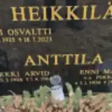 Enni Anttila 1904 – 1991
- Erkki Anttila 1906 – 1964
- Hanna Anttila 1906 – 1916
- Kalle Anttila 1909 – 1916
- Martti Anttila 1916 – 1999
- Urpo Anttila 1933 – 2009
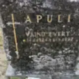 Väinö Apuli 1924 – 1997
 Jaakko Björklund 1889 – 1897
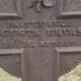 Augusta Ervast 1816 – 1898
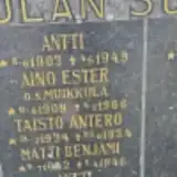 Aino Grekula 1909 – 1966
- Antti Grekula 1903 – 1949
- Antti Grekula 1936 – 1996
- Johannes Grekula 1911 – 1984
- Matti Grekula 1942 – 1946
- Taisto Grekula 1934 – 1934
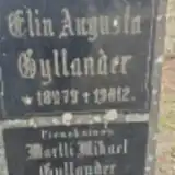 Elin Gyllander 1879 – 1912
- Martti Gyllander 1912 – 1913
 Aili Haapakoski 1896 – 1991
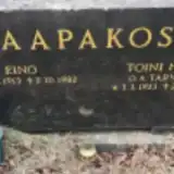 Eino Haapakoski 1913 – 1982
- Ellen Haapakoski 1910 – 1996
- Toini Haapakoski 1923 – 2008
- Ahti Heikkilä 1935 – 2023
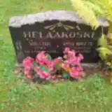 Anna Helaakoski 1881 – 1963
- Walter Helaakoski 1900 – 1902
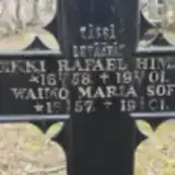 Heikki Himanka 1858 – 1901
- Maria Himanka 1857 – 1901
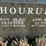 Aino Hourula 1926 – 2021
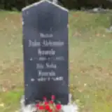 Anton Hourula 1884 – 1925
- Ida Hourula 1887 – 1932
- Johan Hourula 1927 – 2016
 Kyllikki Impola 1934 – 2019
- Sauli Impola 1934 – 2021
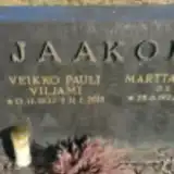 Veikko Jaakkola 1933 – 2015
- Martta Jaakola 1933 – 2012
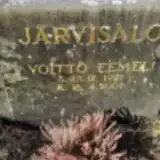 Voitto Järvisalo 1921 – 2007
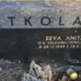 Eeva Jatkola 1939 – 1989
Looking for someone who isn't listed? Request a photo.
Nearby cemeteries
The closest other burial grounds listed on EveryStone.
- Pyhäjoki New Cemetery 1.4 km away · Pyhäjoki · 191 records
- Piehinki Cemetery 14 km away · Raahe · 1 record
- Sankarijautausmaa 15 km away · Pyhänkoski · 6 records
- Pyhänkoski Cemetery 15 km away · Merijärvi · 66 records
- Merijärvi Cemetery 21 km away · Merijärvi · 198 records
- Saloinen Cemetery 22 km away · Raahe · 105 records
- Haarala Cemetery, Raahe 26 km away · Raahe · 252 records
- Kalajoen kirkkomaa 28 km away · Kalajoki · 289 records
- Kalajoki Cemetery 28 km away · Kalajoki · 201 records
- Pattijoki New Cemetery, Raahe 29 km away · Raahe · 370 records
Contribute with the app
Our website works smoothly on both desktop and mobile devices. Prefer a native app? Check it out below.
- Capture clear headstone photos
- Save GPS grave locations automatically
- Transcribe inscriptions with our AI
- Suggest corrections to existing records
Common questions
How big is Pyhäjoki Churchyard?
Pyhäjoki Churchyard covers about 12,000 m² (2.9 acres), about the size of 2 soccer fields. It is the 52nd smallest of the 118 cemeteries we list in North Ostrobothnia.
What is the oldest grave in this cemetery?
The oldest grave among the records we hold for Pyhäjoki Churchyard is that of Sofia Fredrika Æjmelæus, who died on October 20, 1869 at the age of 66.