
Cemetery #185388
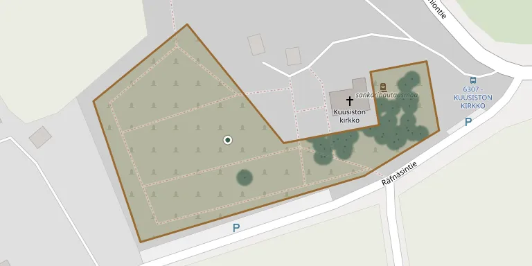
Kuusisto Cemetery
Local name: Kuusiston hautausmaa
Also known as Kuusiston kirkko
114
documented records
≈ 130–260
approx. capacity (graves)
6,420 m²
cemetery area
Nov 4, 2026
last modified
About this cemetery
Kuusisto Cemetery was established around the wooden church that the people of Kuusisto built in the 1600s; the island gained chapel rights in 1653. Kuusisto became its own parish in 1914 and has belonged to the Kaarina parish since 1954. The cemetery is now run by the Turku and Kaarina parishes.
Cemetery location
GPS coordinates: 60.381563° N, 22.410327° E Directions in Google Maps (opens in a new tab)
Memorials
Showing the first 50 of 114, A–Z by surname. Search all records
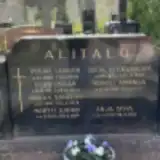 Anja Alitalo 1947 – 2012
- Eero Alitalo 1911 – 1960
- Martti Alitalo 1943 – 2019
- Oskar Alitalo 1868 – 1924
- Sirkka Alitalo 1919 – 1978
- Sofia Alitalo 1875 – 1929
- Sointu Alitalo 1913 – 1997
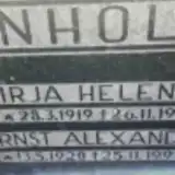 Ernst Enholm 1920 – 1995
- Irja Enholm 1919 – 1975
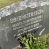 Ida Grönlund ? – 1920
- Johan Grönlund 1883 – 1946
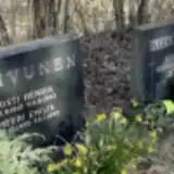 Johan Koivunen 1870 – 1955
- Kosti Koivunen 1912 – 1993
- Maria Koivunen 1873 – 1957
 Eino Korpela 1895 – 1942
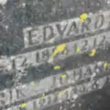 Edvard Koskinen 1884 – 1953
- Erik Koskinen 1917 – 1919
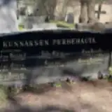 Aira Kunnas 1911 – 1994
- Eero Kunnas 1907 – 1964
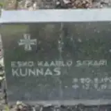 Esko Kunnas 1921 – 1941
- Helmi Kunnas 1906 – 1923
- Hilda Kunnas 1883 – 1938
- Kaarina Kunnas 1919 – 1988
- Kustaa Kunnas 1874 – 1927
- Maunu Kunnas 1918 – 1990
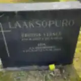 Fredrik Laaksopuro 1857 – 1950
- Ida Laaksopuro 1872 – 1960
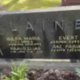 Åke Laine 1931 – 1948
- Evert Laine 1904 – 1971
- Hulda Laine 1902 – 1993
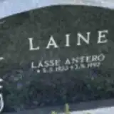 Lasse Laine 1933 – 1992
- Paavo Laine 1941 – 2017
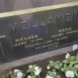 Maria Mellanen 1882 – 1966
- Raimo Mellanen 1930 – 2008
- Rikhard Mellanen 1872 – 1954
- Sylvia Mellanen 1902 – 1976
 Ilmari Niilo 1906 – 2002
- Pentti Ranta 1925 – 1997
 Eva-Kyllikki Reilander 1925 – 2021
- Lauri Reilander 1924 – 1998
 Abel Renfors 1885 – 1948
 Helga Sinkkonen 1927 – 2015
- Olga Sinkkonen 1900 – 1981
- Teuvo Sinkkonen 1923 – 2011
- Toivo Sinkkonen 1925 – 2016
- Vilho Sinkkonen 1898 – 1962
 Amanda Sjöblom 1881 – 1942
- Johan Sjöblom 1882 – 1938
 Asser Söderberg 1906 – 1906
- August Söderberg 1879 – 1961
Looking for someone who isn't listed? Request a photo.
Nearby cemeteries
The closest other burial grounds listed on EveryStone.
- Isokylä Heroes' Cemetery 70 m away · Isokylä · 1 record
- Piispanlinna Cemetery 4.2 km away · Rojola
- Piikkiö Cemetery 7.8 km away · Kaarina · 20 records
- Piikkiö Heroes' Cemetery 7.8 km away · Piikkiö
- Turku Muslim Cemetery 7.8 km away · Turku
- Turku Cemetery 7.9 km away · Turku · 155 records
- Turku Jewish Cemetery 7.9 km away · Turku
- Turku Catholic Cemetery 7.9 km away · Turku
- Turku Orthodox Cemetery 7.9 km away · Turku
- Åbo Cemetery 8.0 km away · Vasaramäki
Contribute with the app
Our website works smoothly on both desktop and mobile devices. Prefer a native app? Check it out below.
- Capture clear headstone photos
- Save GPS grave locations automatically
- Transcribe inscriptions with our AI
- Suggest corrections to existing records
Common questions
How big is Kuusisto Cemetery?
Kuusisto Cemetery covers about 6,420 m² (1.6 acres), about the size of a soccer field. It is the 58th largest of the 132 cemeteries we list in Southwest Finland.
What is the oldest grave in this cemetery?
The oldest grave among the records we hold for Kuusisto Cemetery is that of Wilhelmina Albertina von Willebrand, who died on May 13, 1824 at the age of 41.