
Cemetery #186518
Rathenow Evangelical Cemetery
Local name: Evangelischer Friedhof Rathenow
120
documented records
≈ 1,600–3,100
approx. capacity (graves)
0.078 km²
cemetery area
Nov 5, 2026
last modified
About this cemetery
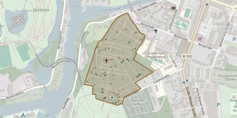
This historic cemetery belongs to the Protestant parish of St. Marien-Andreas in Rathenow. Its main entrance is on the Alter Hafen next to the old fire station, and the site includes a gatehouse. The parish describes it as a unique piece of the town's cultural and contemporary history.
Cemetery location
GPS coordinates: 52.602177° N, 12.331596° E Directions in Google Maps (opens in a new tab)
Memorials
Showing the first 50 of 120, A–Z by surname. Search all records
 Salomon Alfred 1890 – 1939
 Charlotte Bleis 1925 – 2018
 Fritz Ebel 1899 – 1985
- Gerda Ebel 1910 – 1987
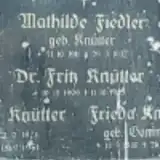 Mathilde Fiedler 1911 – 1937
 Pentzsch Gertrud 1904 – 1993
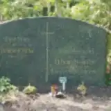 Anna Heinrichs 1892 – 1985
- Hans Heinrichs 1912 – 1989
- Hans-Georg Heinrichs 1924 – 1944
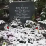 Hildegard Hensel 1921 – 2020
- Max Hensel 1903 – 1975
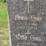 Otto Hinz 1907 – 1980
 Martha Hofmann 1907 – 1951
 Paul Hörster 1896 – 1918
- Paul Hübner 1873 – 1915
 Helene Jung 1887 – 1934
- Willi Jung 1915 – 1990
- Wilhelm Kabelitz 1881 – 1914
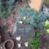 Rolf Kahl 1936 – 2019
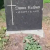 Emma Kaldun 1894 – 1973
 Erika Kiedrowski 1937 – 1996
- Henry Kiedrowski ? – 1989
- Hermann Klopprogge 1889 – 1918
 Anna Knoblauch 1896 – 1961
- Wilhelm Knoblauch 1898 – 1956
- Martha Knospe 1900 – 1970
- Frieda Knütter 1885 – 1950
- Karl Knütter 1873 – 1951
 Charlotte Krietsch 1899 – 1972
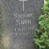 Karoline Kuhn 1889 – 1973
- Ernst Kuralnus 1899 – 1918
 Jefula Lamprecht 1927 – 1985
- Wolfgang Lamprecht 1921 – 1934
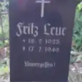 Fritz Leue 1925 – 1949
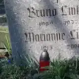 Bruno Linke 1909 – 1977
 Susanna Loebmann 1882 – 1978
- Else Lorenz 1896 – 1978
- Richard Lorenz 1892 – 1977
 Gisela Maaß 1926 – 2020
- Kurt Maaß 1909 – 2007
 Elsbeth Maerten 1895 – 1978
 Hans-Joachim Mans 1925 – 2009
 Klara Märkert 1881 – 1964
 Erwin Maschke 1901 – 1975
 Jörg Meseberg 1961 – 2022
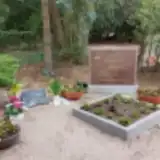 Gitta Müller 1958 – 2022
 Hermann Müller 1883 – 1961
- Marie Müller 1888 – 1958
 Auguste Naumann 1868 – 1935
- Otto Naumann 1899 – 1939
Looking for someone who isn't listed? Request a photo.
Nearby cemeteries
The closest other burial grounds listed on EveryStone.
- Rathenow Municipal Cemetery 130 m away · Rathenow
- Rathenow Soviet Cemetery of Honour 1.5 km away · Rathenow · 3 records
- Rathenow West 1.9 km away · Rathenow West
- Neufriedrichsdorf Cemetery 3.2 km away · Wolzensiedlung
- Neufriedrichsdorf Jewish Cemetery 3.2 km away · Neufriedrichsdorf
- Steckelsdorf Cemetery 3.6 km away · Steckelsdorf
- Göttlin Cemetery 3.8 km away · Göttlin
- Mögelin Cemetery 4.5 km away · Mögelin
- Großwudicke Cemetery 6.8 km away · Großwudicke
- Hohennauen Churchyard 7.1 km away · Hohennauen
Contribute with the app
Our website works smoothly on both desktop and mobile devices. Prefer a native app? Check it out below.
- Capture clear headstone photos
- Save GPS grave locations automatically
- Transcribe inscriptions with our AI
- Suggest corrections to existing records
Common questions
How big is Rathenow Evangelical Cemetery?
Rathenow Evangelical Cemetery covers about 78,000 m² (19 acres), about the size of 11 soccer fields. It is the 39th largest of the 2,113 cemeteries we list in Brandenburg.
What is the oldest grave in this cemetery?
The oldest grave among the records we hold for Rathenow Evangelical Cemetery is that of Wilhelm Kabelitz, who died in 1914 at the age of 33.