
20
documented records
≈ 1,200–2,400
approx. capacity (graves)
0.060 km²
cemetery area
Nov 5, 2026
last modified
About this cemetery
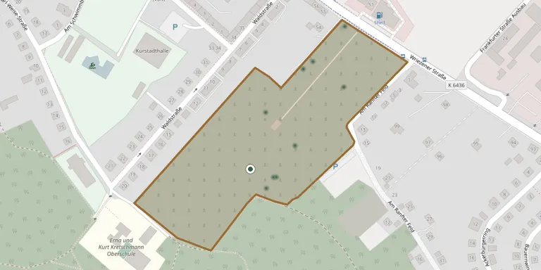
This is the main cemetery of Bad Freienwalde (Oder) in Brandenburg. It is recorded separately from the nearby St. Nikolai church cemetery and from the town's Jewish cemetery at the foot of the Galgenberg.
Cemetery location
GPS coordinates: 52.776295° N, 14.045433° E Directions in Google Maps (opens in a new tab)
Memorials
20 memorials, A–Z by surname.
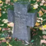 Joachim Baumgartel 1920 – 1945
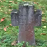 Gertrud Brandt 1925 – 1945
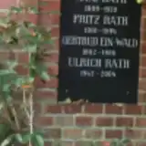 Gertrud Ein-Wald 1892 – 1986
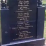 Albert Heyde 1925 – 1945
- Albert Heyde 1882 – 1962
- Bertha Heyde 1916 – 1989
- Bertha Heyde 1882 – 1963
- Friedel Heyde 1921 – 2010
- Gertrud Plottke 1914 – 2008
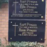 Ella Preuss 1902 – 1992
- Kurt Preuss 1926 – 2003
- Kurt Preuss 1899 – 1954
- Rosa Preuss 1927 – 2014
- Anni Rath 1909 – 1970
- Fritz Rath 1901 – 1994
- Ulrich Rath 1947 – 2004
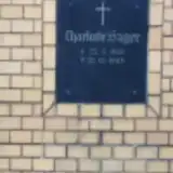 Charlotte Sager 1901 – 1963
 Herta Schubert 1921 – 2002
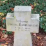 Johann Suin de Boutemard 1899 – 1941
 Hans-Jürgen Tapp 1936 – 2014
Looking for someone who isn't listed? Request a photo.
Nearby cemeteries
The closest other burial grounds listed on EveryStone.
- Bad Freienwalde Soviet War Cemetery 1.4 km away · Bad Freienwalde
- Eichenhain Woodland Cemetery 1.8 km away · Bad Freienwalde
- Altranft Cemetery 2.9 km away · Altranft
- Schiffmühle Cemetery 3.7 km away · Schiffmühle
- Neutornow Cemetery 4.4 km away · Neutornow
- Malche Cemetery, Uchtenhagen 4.6 km away · Uchtenhagen
- Gabow Cemetery 4.9 km away · Gabow
- Dannenberg/Mark Cemetery 6.0 km away · Dannenberg/Mark
- Neureetz Cemetery 6.1 km away · Neureetz
- Bralitz Cemetery 6.6 km away · Bad Freienwalde
Contribute with the app
Our website works smoothly on both desktop and mobile devices. Prefer a native app? Check it out below.
- Capture clear headstone photos
- Save GPS grave locations automatically
- Transcribe inscriptions with our AI
- Suggest corrections to existing records
Common questions
How big is Bad Freienwalde Cemetery?
Bad Freienwalde Cemetery covers about 60,000 m² (15 acres), about the size of 8 soccer fields. It is the 50th largest of the 2,113 cemeteries we list in Brandenburg.
What is the oldest grave in this cemetery?
The oldest grave among the records we hold for Bad Freienwalde Cemetery is that of Johann Suin de Boutemard, who died on November 9, 1941 at the age of 42.