
Cemetery #193357
Borger Cemetery
Local name: Begraafplaats Borger
24
documented records
≈ 480–960
approx. capacity (graves)
0.024 km²
cemetery area
Nov 5, 2026
last modified
About this cemetery
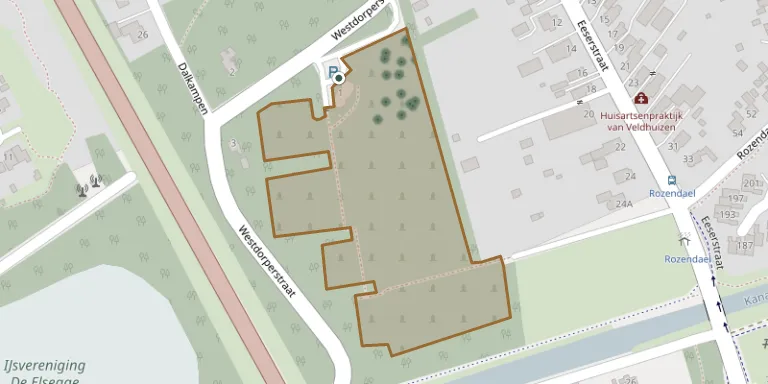
This is a general cemetery on the Westdorperstraat in Borger, one of the municipal cemeteries of the municipality of Borger-Odoorn.
Cemetery location
GPS coordinates: 52.917104° N, 6.792371° E Directions in Google Maps (opens in a new tab)
Memorials
24 memorials, A–Z by surname.
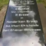 Henderkieen Braam 1874 – 1960
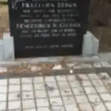 Henderikus Copinga 1914 – 1970
- Frederik Dillingh 1861 – 1929
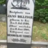 Jans Dillingh 1826 – 1908
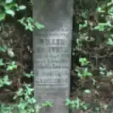 Willem Hooiveld 1896 – 1911
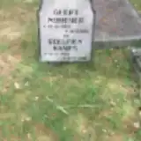 Roelfien Kamps 1833 – 1920
 Hinderkien Meijering 1873 – 1955
- Albert Mevering 1879 – 1960
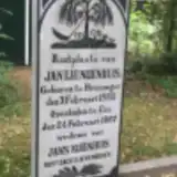 Jantje Nijenhuis 1885 – 1967
- Geert Nijmeijer 1823 – 1910
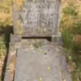 Janna Oostinger 1912 – 1918
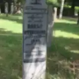 Roelf Oterdoom 1848 – 1913
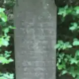 Harm Pieters 1816 – 1892
 Harmannus Polling 1899 – 1899
- Harmannus Polling 1904 – 1921
- Harmannus Polling 1901 – 1901
- Harmannus Polling 1900 – 1900
- Jantje Polling 1868 – 1900
- Roelof Polling 1903 – 1906
 Hs. Pott 1871 – 1947
- Hillechien Reinds 1918 – 1963
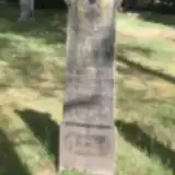 Johanna Sikkens 1850 – 1929
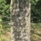 Berend Strating 1901 – 1907
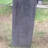 Grietje Timmermans 1821 – 1904
Looking for someone who isn't listed? Request a photo.
Nearby cemeteries
The closest other burial grounds listed on EveryStone.
- Borger Jewish Cemetery 1.4 km away · Borger-Odoorn
- Gasselte Cemetery 5.6 km away · Gasselte
- Aa en Hunze Protestant Churchyard 6.1 km away · Aa en Hunze · 6 records
- Drouwenerveen Cemetery 7.4 km away · Drouwenerveen · 43 records
- Hoofdstraat Old Cemetery 7.9 km away · Gasselternijveen
- Odoorn Cemetery 7.9 km away · Odoorn
- Grolloo Cemetery 8.1 km away · Grolloo
- Schoonoord Cemetery 8.7 km away · Schoonoord
- Gasselternijveen General Cemetery 9.2 km away · Gasselternijveen · 5 records
- Nieuw-Buinen Cemetery 9.3 km away · Nieuw-Buinen
Contribute with the app
Our website works smoothly on both desktop and mobile devices. Prefer a native app? Check it out below.
- Capture clear headstone photos
- Save GPS grave locations automatically
- Transcribe inscriptions with our AI
- Suggest corrections to existing records
Common questions
How big is Borger Cemetery?
Borger Cemetery covers about 24,000 m² (5.9 acres), about the size of 3 soccer fields. It is the 16th largest of the 148 cemeteries we list in Drenthe.
What is the oldest grave in this cemetery?
The oldest grave among the records we hold for Borger Cemetery is that of Harm Pieters, who died on June 18, 1892 at the age of 75.