
32
documented records
≈ 140–270
approx. capacity (graves)
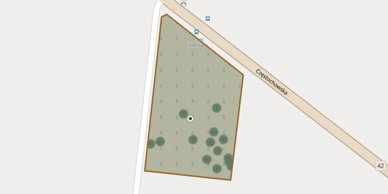
6,760 m²
cemetery area
Nov 5, 2026
last modified
About this cemetery
The parish cemetery in Strojec belongs to the parish of St Catherine of Alexandria.
Cemetery location
GPS coordinates: 51.041252° N, 18.490698° E Directions in Google Maps (opens in a new tab)
Memorials
32 memorials, A–Z by surname.
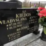 Stefania Brzóska 1900 – 1983
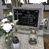 Maria Drewicz 1906 – 1984
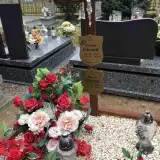 Antoni Gierak 1916 – 1989
- Helena Gierak 1927 – 2020
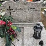 Stanisław Janas 1931 – 1990
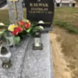 Stanisław Kałwak 1958 – 2018
- Antoni Kiedos 1922 – 2011
- Władysław Kiedos 1905 – 1964
- Władysława Kiedos 1927 – 2010
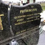 Jan Konc 1940 – 1985
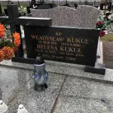 Helena Kukuł 1927 – 2014
- Władysław Kukuł 1921 – 1988
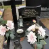 Mieczysław Moniak 1932 – 1996
- Sylwester Moniak 1964 – 2006
- Eleonora Pęcherczyk 1917 – 2008
- Józef Pęcherczyk 1911 – 1979
- Marianna Pęcherczyk 1906 – 1946
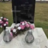 Ewa Sieradzka 1969 – 2018
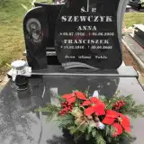 Franciszek Szewczyk 1916 – 2005
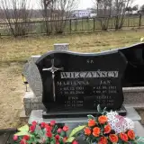 Ewa Wilczyńska 1960 – 1960
- Maria Wilczyńska 1960 – 1960
- Marianna Wilczyńska 1931 – 2016
- Jan Wilczyński 1931 – 2010
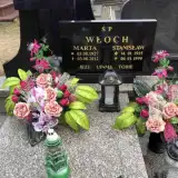 Marta Włoch 1927 – 2012
- Stanisław Włoch 1915 – 1999
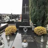 Janina Zagrodnik 1911 – 1993
- Stanisław Zagrodnik 1944 – 2009
- Władysław Zagrodnik 1910 – 1990
- Władysława Zagrodnik 1947 – 2000
 Jan Zawis 1923 – 1985
- Janina Zawis 1926 – 2012
- Zbigniew Zawis 1956 – 2018
Looking for someone who isn't listed? Request a photo.
Nearby cemeteries
The closest other burial grounds listed on EveryStone.
- Praszka Parish Cemetery 3.2 km away · Praszka · 338 records
- Kowale Parish Cemetery 3.9 km away · Kowale
- Gana Parish Cemetery 4.4 km away · Gana
- Gorzów Śląski Roman Catholic Cemetery 5.6 km away · Gorzów Śląski
- Przedmość Parish Cemetery 6.8 km away · Przedmość
- Żytniów Parish Cemetery 6.8 km away · Porąbki · 273 records
- Kościeliska Cemetery 7.2 km away · Kościeliska
- Rudniki Parish Cemetery 7.3 km away · Rudniki · 187 records
- Dalachów Parish Cemetery 7.9 km away · Dalachów
- Skrońsko Churchyard 8.2 km away · Skrońsko
Contribute with the app
Our website works smoothly on both desktop and mobile devices. Prefer a native app? Check it out below.
- Capture clear headstone photos
- Save GPS grave locations automatically
- Transcribe inscriptions with our AI
- Suggest corrections to existing records
Common questions
How big is Strojec Parish Cemetery?
Strojec Parish Cemetery covers about 6,760 m² (1.7 acres), about the size of a soccer field. It is the 180th largest of the 690 cemeteries we list in Opole Voivodeship.
What is the oldest grave in this cemetery?
The oldest grave among the records we hold for Strojec Parish Cemetery is that of Marianna Pęcherczyk, who died on January 28, 1946 at the age of 39.