
Cemetery #19641
St Mary the Virgin Churchyard
Also known as St Mary the Virgin Church, Westerham
36
documented records
≈ 220–440
approx. capacity (graves)
0.011 km²
cemetery area
Nov 5, 2026
last modified
About this cemetery
The churchyard belongs to the Church of St Mary the Virgin in Westerham, Kent, a Grade II* listed building. Its arcades and its nave and aisle roofs result from an early 16th-century rebuilding. Westerham is mentioned in the Domesday Book of 1086, and a board in the church records the names of its vicars.
Cemetery location
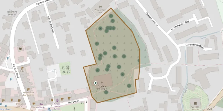
GPS: GPS coordinates: 51.267502° N, 0.073493° E Directions in Google Maps (opens in a new tab)
Memorials
36 memorials, A–Z by last name.
 Frederick McCosh 1907 – 1999
- Olga McCosh 1901 – 1990
 Irene McVeagh 1919 – 2010
- John McVeagh 1920 – 2013
 Isaac Minet 1761 – 1839
- Susannah Minet ? – 1869
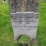 Annie Morgan 1910 – 1993
- James Morgan 1911 – 1976
 George Morris 1869 – 1940
 Ivy Morris 1900 – 1978
- Richard Morris 1895 – 1981
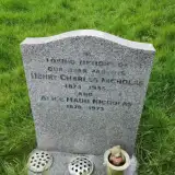 Henry Nicholas 1875 – 1955
- Maud Nicholas 1911 – 1993
 Rebecca Piggott 1904 – 1978
- Ronald Piggott 1930 – 1960
 Henry Pring 1826 – 1894
 Elizabeth Rolfe 1905 – 1989
- Frederick Rolfe 1902 – 1970
 Clemence Streatfeild 1905 – 1939
 Maud Streatfeild 1875 – 1950
- Norman Streatfeild ? – 1940
- Roland Streatfeild ? – 1952
 Hesther Swaine 1809 – 1851
 Geoffrey Thiemann 1954 – 1984
 Hannah Tullett 1852 – 1925
 Ann Twort 1772 – 1861
- William Twort 1805 – 1805
 Charles Urquart 1820 – 1834
 Harriet Warde 1836 – 1922
 Watthen Wathen ? – 1980
- Watthen Wathen ? – 1929
- William Wathen 1836 – 1913
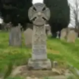 Matilda Watney 1841 – 1916
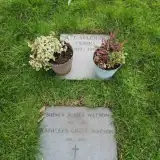 Kathleen Watson 1910 – 2008
- Sidney Watson 1908 – 1986
 Frederick Whitebread 1921 – 1989
Looking for someone who isn't listed? Request a photo.
Nearby cemeteries
The closest other burial grounds listed on EveryStone.
- Brasted (Saint Martin) Churchyard 2.5 km away · Brasted · 2 records
- Crockham Hill Cemetery 3.4 km away · Crockham Hill
- St Mary Churchyard 3.7 km away · Tatsfield · 2 records
- Sundridge (Saint Mary) Churchyard 3.9 km away · Sundridge · 3 records
- St James Churchyard 3.9 km away · Titsey
- St Peter Churchyard 4.3 km away · Limpsfield
- St. Mary's Churchyard 4.5 km away · Ide Hill
- St Katharine Churchyard 5.2 km away · Knockholt · 1 record
- St Botolph Churchyard 5.5 km away · Chevening · 17 records
- St Mary the Virgin Churchyard 5.8 km away · Oxted · 26 records
Contribute with the app
Our website works smoothly on both desktop and mobile devices. Prefer a native app? Check it out below.
- Capture clear headstone photos
- Save GPS grave locations automatically
- Transcribe inscriptions with our AI
- Suggest corrections to existing records
Common questions
How big is St Mary the Virgin Churchyard?
St Mary the Virgin Churchyard covers about 11,000 m² (2.7 acres), about the size of 2 soccer fields. It is the 84th largest of the 475 cemeteries we list in Kent.
What is the oldest grave in this cemetery?
The oldest grave among the records we hold for St Mary the Virgin Churchyard is that of William Twort, who died on October 16, 1805 at the age of 0.