
11
documented records
≈ 240–480
approx. capacity (graves)
0.012 km²
cemetery area
Nov 5, 2026
last modified
About this cemetery
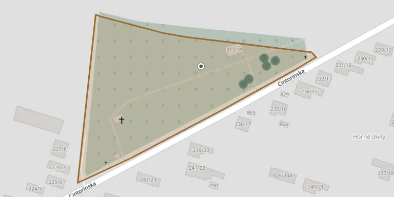
The village of Úľany nad Žitavou in Nové Zámky District has a municipal cemetery, for which a virtual tour was produced with support from the Nitra self-governing region.
Cemetery location
GPS coordinates: 48.112611° N, 18.244268° E Directions in Google Maps (opens in a new tab)
Memorials
11 memorials, A–Z by surname.
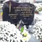 Benedikt Buček 1925 – 1983
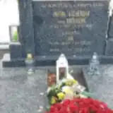 Ján Licher 1923 – 2002
- Mária Licherová 1922 – 1981
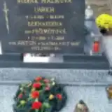 Anton Malík 1954 – 1987
- Imrich Malík 1922 – 1991
- Bernardína Malíková 1926 – 2016
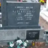 Jozef Pečimuth 1907 – 1984
- Jozef Pečimuth 1935 – 2006
- Františka Pečimuthová 1913 – 1993
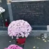 Stefan Vančík 1908 – 1981
- Justína Vančíková 1913 – 2004
Looking for someone who isn't listed? Request a photo.
Nearby cemeteries
The closest other burial grounds listed on EveryStone.
- Hul Cemetery 2.6 km away · Hul
- Mojzesovo Cemetery 2.6 km away · Mojzesovo · 832 records
- Malá Maňa Cemetery 3.5 km away · Malá Maňa
- Malá Maňa Jewish Cemetery 3.6 km away · Maňa
- Radava Cemetery 3.9 km away · Radava
- Dolný Ohaj Cemetery 4.0 km away · Dolný Ohaj · 381 records
- Černík Cemetery 4.6 km away · Černík
- Šurany Cemetery 4.7 km away · Šurany
- Lipová Cemetery 5.0 km away · Lipová
- Maňa Cemetery 5.1 km away · Maňa
Contribute with the app
Our website works smoothly on both desktop and mobile devices. Prefer a native app? Check it out below.
- Capture clear headstone photos
- Save GPS grave locations automatically
- Transcribe inscriptions with our AI
- Suggest corrections to existing records
Common questions
How big is Úľany nad Žitavou?
Úľany nad Žitavou covers about 12,000 m² (2.9 acres), about the size of 2 soccer fields. It is the 152nd largest of the 467 cemeteries we list in Region of Nitra.
What is the oldest grave in this cemetery?
The oldest grave among the records we hold for Úľany nad Žitavou is that of Stefan Vančík, who died on February 9, 1981 at the age of 72.