
381
documented records
≈ 400–800
approx. capacity (graves)
0.020 km²
cemetery area
Oct 18, 2026
last modified
About this cemetery
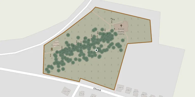
The cemetery is located in the village of Dolný Ohaj, Nové Zámky district, Nitra region, and is recorded as the burial place of 1,566 people. A house of mourning stands on the cemetery grounds. Among the older graves are tombs of local nobility, landowning families whose descendants are now almost forgotten.
Cemetery location
GPS coordinates: 48.077619° N, 18.255154° E Directions in Google Maps (opens in a new tab)
Memorials
Showing the first 50 of 381, A–Z by surname. Search all records
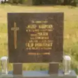 Jozef Abrman 1923 – 1990
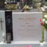 Juraj Abrman 1940 – 2024
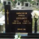 Pavol Abrman 1912 – 1999
 Helena Abrmanová 1925 – 2009
- Mária Abrmanová 1921 – 2000
- Mária Abrmanová 1925 – 2006
- Marta Abrmanová 1963 – 1982
 Vladimír Augustín 1953 – 2018
 Jozef Bacho 1944 – 2015
 Peter Bacho 1920 – 2000
- Radoslav Bacho 1970 – 2004
- Irena Bachová 1923 – 2001
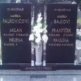 František Bajla 1926 – 1995
 Imrich Bajla 1934 – 2009
 Jozef Bajla 1912 – 1963
 Juraj Bajla 1854 – 1910
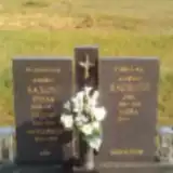 Štefan Bajla 1903 – 1973
 Štefan Bajla 1923 – 1999
- Štefan Bajla 1895 – 1972
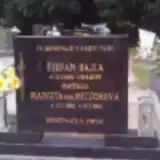 Štefan Bajla 1930 – 2001
- Vojtech Bajla 1932 – 1999
- Jana Bajlová 1944 – 2011
- Júlia Bajlová 1900 – 1982
- Katarína Bajlová 1915 – 2000
- Margita Bajlová 1925 – 2015
- Margita Bajlová 1932 – 1994
- Mária Bajlová 1963 – 1986
- Paulína Bajlová 1902 – 1982
- Paulína Bajlová 1930 – 2015
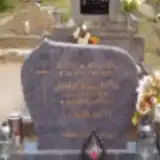 Michal Balaša 1936 – 2011
- Janka Balašová 1938 – 2007
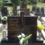 Milan Barták 1956 – 2024
 Ján Bartoš 1914 – 1988
 Vojtech Bartoš 1941 – 1997
- Mária Bartošová 1914 – 1998
 Štefan Barus 1917 – 1998
- Júlia Barusová 1922 – 2008
 Emília Bez Údajov 1931 – 2006
- Rudolf Bilic 1954 – 2023
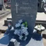 Ondrej Bomb 1949 – 2019
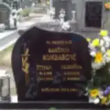 Štefan Bombar 1938 – 2000
- Jozefína Bombarová 1938 – 2010
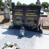 Peter Bórik 1951 – 1975
 Vincent Bórik 1906 – 1986
 Vincent Bórik 1930 – 2013
- Amália Bóriková 1908 – 1983
 Cecília Brezanská 1920 – 1998
 Michal Brezanský 1912 – 1986
 Mária Breznanská 1922 – 1950
- Vojtech Breznanský 1944 – 1968
Looking for someone who isn't listed? Request a photo.
Nearby cemeteries
The closest other burial grounds listed on EveryStone.
- Hul Cemetery 2.9 km away · Hul
- Bešeňov Cemetery 3.5 km away · Bešeňov
- Radava Cemetery 3.5 km away · Radava
- Úľany nad Žitavou 4.0 km away · Úľany nad Žitavou · 11 records
- Nitriansky Hrádok Cemetery, Šurany 4.0 km away · Šurany · 113 records
- Šurany Cemetery, Balát 5.2 km away · Šurany · 23 records
- Šurany Cemetery 5.6 km away · Šurany
- Bánov Old Cemetery 5.8 km away · Bánov
- Veľké Lovce Cemetery 6.0 km away · Veľké Lovce
- Velké Lovce Jewish Cemetery 6.0 km away · Veľké Lovce
Contribute with the app
Our website works smoothly on both desktop and mobile devices. Prefer a native app? Check it out below.
- Capture clear headstone photos
- Save GPS grave locations automatically
- Transcribe inscriptions with our AI
- Suggest corrections to existing records
Common questions
How big is Dolný Ohaj Cemetery?
Dolný Ohaj Cemetery covers about 20,000 m² (4.9 acres), about the size of 3 soccer fields. It is the 51st largest of the 467 cemeteries we list in Region of Nitra.
What is the oldest grave in this cemetery?
The oldest grave among the records we hold for Dolný Ohaj Cemetery is that of István Eméry, who died on June 8, 1874 at the age of 37.