
80
documented records
≈ 260–510
approx. capacity (graves)
0.013 km²
cemetery area
Nov 5, 2026
last modified
About this cemetery
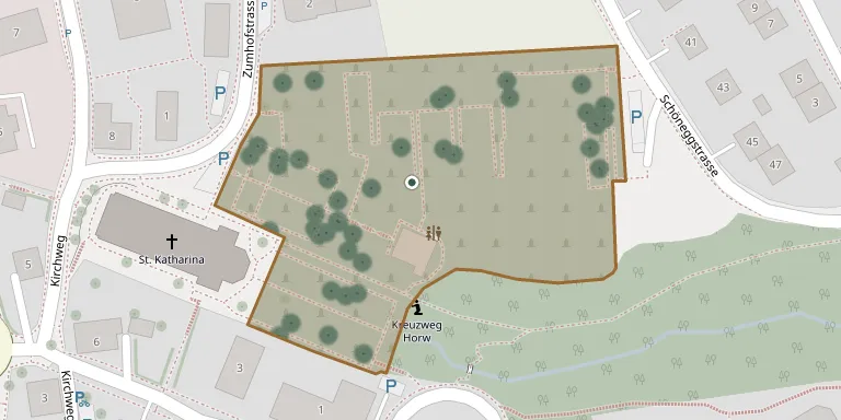
Horw Cemetery was laid out in the second half of the 20th century following a competition design by the landscape architect Willi Neukom. It is administered by the municipality of Horw in the canton of Lucerne.
Cemetery location
GPS coordinates: 47.019414° N, 8.313710° E Directions in Google Maps (opens in a new tab)
Memorials
Showing the first 50 of 80, A–Z by surname. Search all records
 Jarmila Altmann 1925 – 2002
 Anton Aregger-Neidhart 1928 – 2019
- Rosmarie Aregger-Neidhart 1934 – 2009
 Albert Bucheli-Kaufmann 1922 – 2004
- Bertha Bucheli-Kaufmann 1928 – 2004
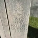 Nina Buhler 1912 – 2008
 Hans Buholzer 1954 – 2017
 Ferdinand Buholzer-Buholzer 1901 – 1990
- Maria Buholzer-Buholzer 1908 – 2007
- Leo Buholzer-Lustenberger 1920 – 2010
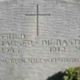 Jda De Bastiani 1912 – 2000
 Edith Emmenegger-Gisi 1929 – 2011
- Karl Emmenegger-Gisi 1922 – 2002
 Ernst Flory-Friedrich 1929 – 2015
- Heidy Flory-Friedrich 1932 – 2010
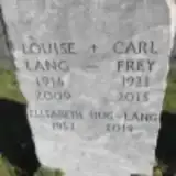 Carl Frey 1921 – 2015
 Franz Furrer-Buholzer 1881 – 1960
- Marie Furrer-Buholzer 1898 – 1969
- Adele Furrer-Kunz 1930 – 2013
 Anton Gabriel-Gabriel 1918 – 2002
 Arthur Gassner 1921 – 2010
- Paul Gisi-Flückiger 1928 – 2018
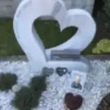 Xaver Gössi-Branger 1939 – 2013
 Karl Graf-Stirnimann 1920 – 1961
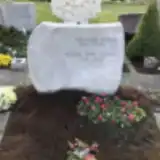 Bertha Heer-Küng 1918 – 2010
- Edi Heer-Küng 1914 – 1994
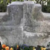 Marie-Luise Heller-Wegmüller 1923 – 2005
- Willi Heller-Wegmüller 1924 – 1986
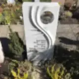 German Henzi-Grüter 1929 – 2013
- Margrit Henzi-Grüter 1931 – 2016
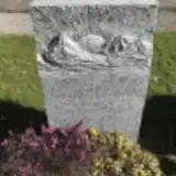 Adolf Hofstetter 1907 – 2004
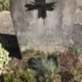 Antonin Holecek von Karlsberg 1912 – 2000
- Elisabeth Hug-Lang 1952 – 2019
 Markus Hünziker 1951 – 1992
- Annemarie Hunziker-Kaeser 1923 – 2006
- Anton Hünziker-Kaeser 1920 – 2005
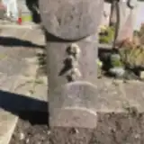 Silvia Huser-Oesch 1936 – 2004
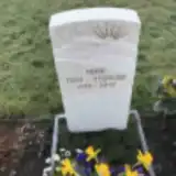 Heidi Isch-Utzinger 1949 – 2019
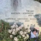 Trudy Kaeslin-Schüpfer 1927 – 2013
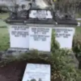 Kath. Kaufmann 1890 – 1966
- Leonz Kaufmann 1849 – 1905
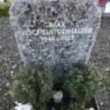 Max Köchli-Studhalter 1946 – 2012
 Ramela Kopeli Mutton 1934 – 2004
- Louise Lang 1916 – 2009
 Louisa Liniger-Eisenring 1933 – 2005
- Walter Liniger-Eisenring 1923 – 1994
 Franz Lustenberger Bürcher 1928 – 2008
- Gottfried Mülhauser 1912 – 1986
 Fredy Müller-Hofer 1949 – 2018
- Franz Muri-Graf 1913 – 1999
Looking for someone who isn't listed? Request a photo.
Nearby cemeteries
The closest other burial grounds listed on EveryStone.
- Anderallmend Cemetery 2.7 km away · Kriens · 263 records
- Kriens Cemetery 3.0 km away · Kriens · 57 records
- Hergiswil Cemetery 3.9 km away · Hergiswil · 44 records
- Luzern Cemetery (Friedental) 4.8 km away · 6004 Luzern · 466 records
- Luzern-Friedental Jewish Cemetery (old) 4.9 km away · Luzern
- Stansstad Cemetery 5.0 km away · Stansstad · 45 records
- Littau-Luzern Cemetery 5.5 km away · Littau · 68 records
- Reussbühl Cemetery 5.5 km away · Emmen · 36 records
- Emmen-Dorf Cemetery 6.7 km away · Emmen · 40 records
- Adligenswil Cemetery 6.9 km away · Adligenswil · 18 records
Contribute with the app
Our website works smoothly on both desktop and mobile devices. Prefer a native app? Check it out below.
- Capture clear headstone photos
- Save GPS grave locations automatically
- Transcribe inscriptions with our AI
- Suggest corrections to existing records
Common questions
How big is Horw Cemetery?
Horw Cemetery covers about 13,000 m² (3.2 acres), about the size of 2 soccer fields. It is the 7th largest of the 62 cemeteries we list in Lucerne.
What is the oldest grave in this cemetery?
The oldest grave among the records we hold for Horw Cemetery is that of Leonz Kaufmann, who died in 1905 at the age of 56.