
39
documented records
≈ 76–150
approx. capacity (graves)
3,780 m²
cemetery area
Nov 5, 2026
last modified
About this cemetery
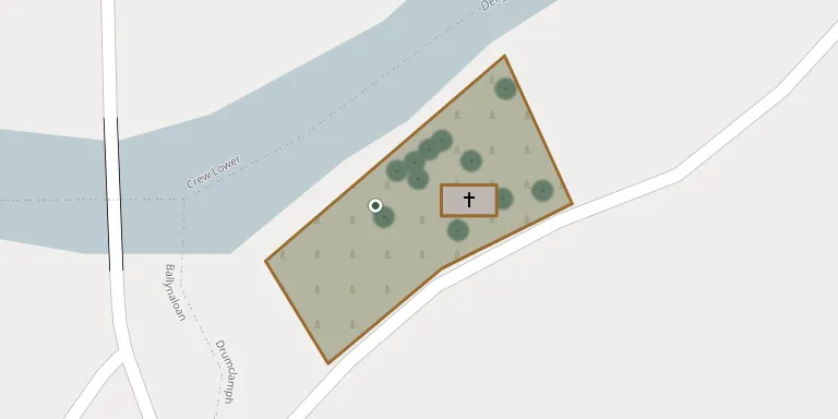
Drumclamph Parish Church and Graveyard lies in Castlederg, County Tyrone, United Kingdom.
Cemetery location
GPS: GPS coordinates: 54.707583° N, 7.511060° W Directions in Google Maps (opens in a new tab)
Memorials
39 memorials, A–Z by last name.
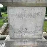 Jacob Alexander ? – 2017
- Jannie Alexander ? – 1936
- Mary Alexander ? – 1960
- Maud Alexander ? – 2004
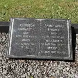 Sarah Armstrong ? – 1980
- William Armstrong ? – 2011
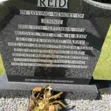 Patrick Baird 1860 – 1946
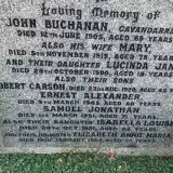 Samuel Buchanan 1880 – 1951
 Rebecca Carson 1909 – 1979
- Mary Cather 1883 – 1901
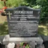 Andy Forbes ? – 1990
- Elizabeth Forbes ? – 2010
- Hugh Garson ? – 1951
- Margaret Garson ? – 1961
- Samuel Garson ? – 1923
- Samuel Garson ? – 1993
- Bobbie Gilchrist 1927 – 1935
- Joseph Gilchrist 1892 – 1973
- Mary Gilchrist ? – 1976
- James Johnston ? – 1940
- Margaret Johnston ? – 1936
- Mary Johnston 1943 – 2012
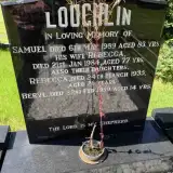 Beryl Loughlin 1945 – 1959
- Rebecca Loughlin ? – 1984
- Rebecca Loughlin ? – 1935
- Samuel Loughlin ? – 1989
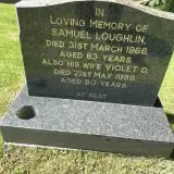 Samuel Loughlin ? – 1966
- Violet Loughlin 1909 – 1989
- Harry Reid ? – 1979
- Jennie Reid ? – 1973
- Phyllis Reid 1932 – 2008
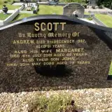 Andrew Scott ? – 1982
- John Scott 1944 – 2020
- Margaret Scott ? – 2001
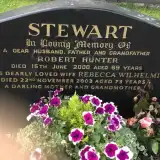 Rebecca Stewart ? – 2003
- Robert Stewart 1931 – 2000
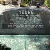 Alan Young ? – 1986
- Kathleen Young 1939 – 2014
- William Young ? – 1971
Looking for someone who isn't listed? Request a photo.
Nearby cemeteries
The closest other burial grounds listed on EveryStone.
- Carncorn Graveyard 3.4 km away · Castlederg
- Ardstraw Graveyard 4.5 km away · Newtownstewart
- Drumlegagh Presbyterian Churchyard 4.6 km away · Omagh
- Baronscourt Parish Church 4.9 km away · Tamnagh
- Castlederg Cemetery 5.3 km away · Castlederg · 3 records
- Castlederg Church of Ireland Churchyard 5.3 km away · Castlederg
- Saint Patrick's of Castlederg Cemetery 5.4 km away · Castlederg
- St Mary's Church Cemetery 5.5 km away · Castlederg
- Douglas Presbyterian Church Cemetery 7.8 km away · Strabane
- St Theresa's Cemetery 9.1 km away · Sion Mills
Contribute with the app
Our website works smoothly on both desktop and mobile devices. Prefer a native app? Check it out below.
- Capture clear headstone photos
- Save GPS grave locations automatically
- Transcribe inscriptions with our AI
- Suggest corrections to existing records
Common questions
How big is Drumclamph Parish Church and Graveyard?
Drumclamph Parish Church and Graveyard covers about 3,780 m² (0.9 acres), about half the size of a soccer field. It is the 61st smallest of the 138 cemeteries we list in County Tyrone.
What is the oldest grave in this cemetery?
The oldest grave among the records we hold for Drumclamph Parish Church and Graveyard is that of Mary Jane Cather, who died on December 21, 1901 at the age of 18.