
County Tyrone
138 known cemeteries in County Tyrone, United Kingdom.
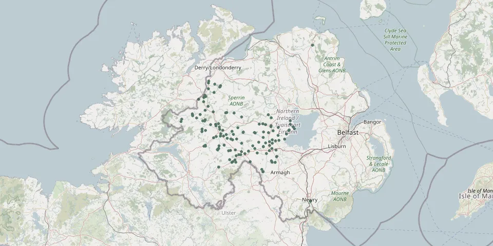 © OpenStreetMap
- St Marys Church, KillyclogherGPS coordinates: 54.60988° N, 7.26988° W
- Dublin Road CemeteryGPS coordinates: 54.58840° N, 7.29200° W
- Drumclamph Parish Church and GraveyardGPS coordinates: 54.70758° N, 7.51106° W
- Saint Mary's Cemetery DrumraghGPS coordinates: 54.57127° N, 7.33807° W
- Mountjoy Presbyterian Church CemeteryGPS coordinates: 54.64695° N, 7.34623° W
- Cookstown CemeteryGPS coordinates: 54.63890° N, 6.75352° W
- Saint James' Parish Church of Ireland CemeteryGPS coordinates: 54.87818° N, 7.30192° W
- St. Peter's and St. Paul's CemeteryGPS coordinates: 54.49066° N, 7.32817° W
- Church of the Assumption Cemetery, PomeroyGPS coordinates: 54.59610° N, 6.93012° W
- Glenock Roman Catholic CemeteryGPS coordinates: 54.72418° N, 7.37101° W
- Green Hill Cemetery, OmaghGPS coordinates: 54.61698° N, 7.30193° W
- Saint John's Parish Fivemiletown GraveyardGPS coordinates: 54.38026° N, 7.31341° W
- Saint Dympna's CemeteryGPS coordinates: 54.51181° N, 7.47036° W
- Church of St Colmcille, CarrickmoreGPS coordinates: 54.59941° N, 7.04894° W
- St Josephs Church, CookstownGPS coordinates: 54.64834° N, 6.87852° W
- St Patricks Cemetery, GreencastleGPS coordinates: 54.69293° N, 7.06813° W
- Upper Langfield Church Cemetery, DrumrawnGPS coordinates: 54.60937° N, 7.45510° W
- Pomeroy Parish Church CemeteryGPS coordinates: 54.59277° N, 6.92354° W
- Ballygawley CemeteryGPS coordinates: 54.46430° N, 7.03371° W
- Fintona Prebyterian Church CemeteryGPS coordinates: 54.49755° N, 7.31267° W
- St Marys Parish Church, RouskyGPS coordinates: 54.71674° N, 7.14896° W
- Beragh Roman Catholic CemeteryGPS coordinates: 54.55053° N, 7.16453° W
- Cappagh Church Of Ireland GraveyardGPS coordinates: 54.63037° N, 7.30653° W
- Castlederg CemeteryGPS coordinates: 54.70047° N, 7.59225° W
- Clogherny ChurchyardGPS coordinates: 54.55630° N, 7.18263° W
- Edenderry Presbyterian CemeteryGPS coordinates: 54.58367° N, 7.23340° W
- Kildress Church of Ireland CemeteryGPS coordinates: 54.65089° N, 6.84135° W
- St Jarlaths Church, BlackwatertownGPS coordinates: 54.41033° N, 6.70908° W
- Fintona New CemeteryGPS coordinates: 54.49233° N, 7.32465° W
- Holy Trinity Parish Church CemeteryGPS coordinates: 54.63781° N, 7.34175° W