
County Tyrone
138 known cemeteries in County Tyrone, United Kingdom.
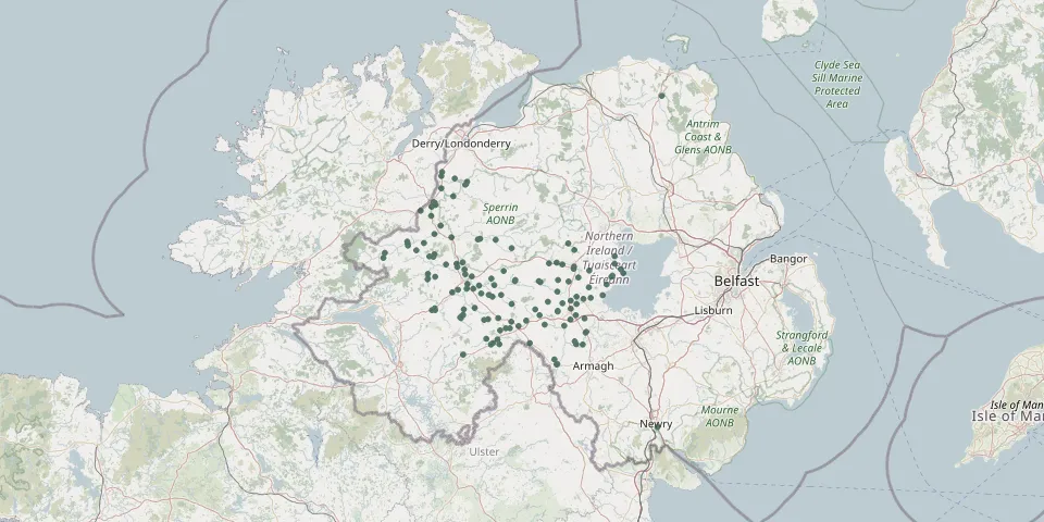 © OpenStreetMap
- Donaghendry ChurchyardGPS coordinates: 54.57826° N, 6.67748° W
- Donaghrisk Old GraveyardGPS coordinates: 54.60720° N, 6.73067° W
- Douglas Presbyterian Church CemeteryGPS coordinates: 54.75793° N, 7.42755° W
- Drumcoo CemeteryGPS coordinates: 54.52967° N, 6.73959° W
- Drumlegagh Presbyterian ChurchyardGPS coordinates: 54.66873° N, 7.48440° W
- Drumquin Presbyterian ChurchGPS coordinates: 54.61734° N, 7.49083° W
- Drumquin Roman Catholic CemeteryGPS coordinates: 54.60360° N, 7.49029° W
- Drumragh Graveyard - Old SectionGPS coordinates: 54.57447° N, 7.29402° W
- Dunmoyle Roman Catholic CemeteryGPS coordinates: 54.52934° N, 7.06715° W
- Dunnalong Church of Ireland Parish ChurchyardGPS coordinates: 54.91481° N, 7.42019° W
- Edenderry Church Of Ireland Parish ChurchyardGPS coordinates: 54.57398° N, 7.26271° W
- Eglish Old Grave YardGPS coordinates: 54.64775° N, 6.54708° W
- Errigal Old GraveyardGPS coordinates: 54.45873° N, 7.09790° W
- Eskra Roman Catholic CemeteryGPS coordinates: 54.48315° N, 7.20774° W
- Fintona ChurchGPS coordinates: 54.49650° N, 7.31293° W
- Galbally Roman Catholic ChurchyardGPS coordinates: 54.53637° N, 6.88503° W
- Glenhoy Presbyterian Church GraveyardGPS coordinates: 54.45239° N, 7.12705° W
- Holy Trinity ChurchGPS coordinates: 54.60393° N, 7.17017° W
- Holy Trinity Church of Ireland GraveyardGPS coordinates: 54.51173° N, 7.45493° W
- Kildress Old ChurchyardGPS coordinates: 54.64552° N, 6.81146° W
- Kilmartin GraveyardGPS coordinates: 54.64524° N, 7.39936° W
- Knockmoyle Roman Catholic CemeteryGPS coordinates: 54.65143° N, 7.31523° W
- Leckpatrick Old Presbyterian CemeteryGPS coordinates: 54.86714° N, 7.42266° W
- Lissan Church of Ireland ChurchyardGPS coordinates: 54.68764° N, 6.75192° W
- Magherakeel Burial GroundGPS coordinates: 54.66464° N, 7.71568° W
- Meeting House Green CemeteryGPS coordinates: 54.42052° N, 6.74963° W
- Melmount CemeteryGPS coordinates: 54.81369° N, 7.47244° W
- Mountcastle CemeteryGPS coordinates: 54.89527° N, 7.35518° W
- Moy Presbyterian Church GraveyardGPS coordinates: 54.44592° N, 6.69456° W
- Mullinahoe CemeteryGPS coordinates: 54.61239° N, 6.55936° W