
64
documented records
≈ 330–660
approx. capacity (graves)
0.017 km²
cemetery area
Nov 5, 2026
last modified
About this cemetery
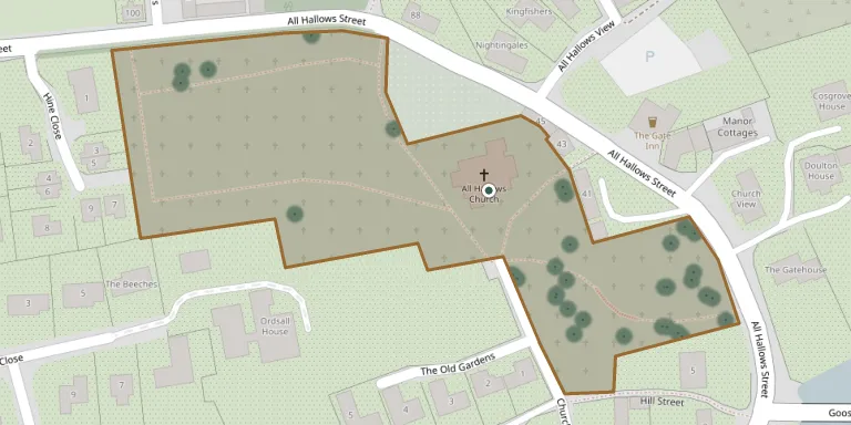
The churchyard of All Hallows in Ordsall, Nottinghamshire, surrounds a Grade II* listed Church of England parish church that is part of the parish of Ordsall and Retford St Michael. It is extensive and divided into two sections, one with many trees and wildlife. The irregularly shaped plot was probably once rectangular, and it has four entrances from All Hallows Street.
Cemetery location
GPS: GPS coordinates: 53.309666° N, 0.944347° W Directions in Google Maps (opens in a new tab)
Memorials
Showing the first 50 of 64, A–Z by surname. Search all records
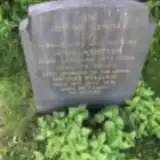 Ann Ashton 1889 – 1964
- Dennis Ashton ? – 1981
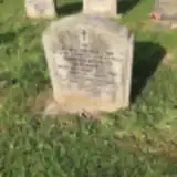 James Barrow ? – 1965
- Lilian Barrow 1899 – 1978
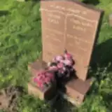 Ethel Bartle 1932 – 2012
- Leonard Bartle ? – 2009
 Naylor Baulette ? – 2016
 Evelyn Beard 1931 – 2010
- William Beard ? – 1990
 Ann Bestwick 1922 – 2001
- Reg Bestwick 1918 – 2007
 Dorothy Bland 1921 – 2007
- John Bland 1923 – 2009
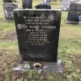 Doris Bowskill ? – 1973
- Wilfred Bowskill 1911 – 1987
 Sidney Brammer ? – 1956
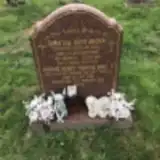 Christine Brown 1928 – 1993
- David Brown 1934 – 2014
- George Brown 1925 – 2013
- Marjorie Brown 1938 – 2011
 Edith Daff 1898 – 1978
- Robert Daft ? – 1968
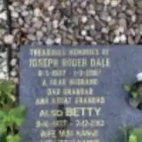 Betty Dale 1937 – 2013
 Frank Gell 1903 – 1966
 Annie Gladdish 1870 – 1919
- Charles Gladish 1852 – 1948
 Emma Hempshall ? – 1932
- John Hempshall ? – 1938
- John Hempshall 1888 – 1917
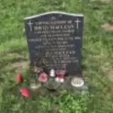 David Maclean 1923 – 1994
- Gladys MacLean ? – 1996
 Irene Makin 1951 – 1982
 Andrew Mills 1955 – 2002
 Kathleen Mountain 1914 – 1976
- Margaret Mountain 1893 – 1974
- Joan Mulligan ? – 1986
- Simon Naylor 1969 – 1996
- Stephen Naylor ? – 2011
 Bessie Noble 1933 – 2004
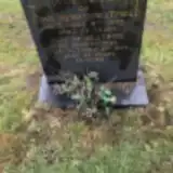 Beatrice Peatfield 1890 – 1972
- John Peatfield ? – 1973
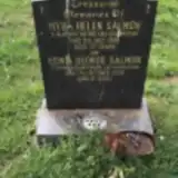 Edwin Salmon 1914 – 2005
- Myra Salmon ? – 1989
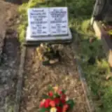 Fred Shearman 1893 – 1956
- Martha Shearman 1895 – 1991
 Eliza Sheath 1889 – 1975
- John Skeath ? – 1979
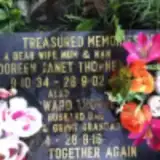 Doreen Thorne 1934 – 2002
- Edward Thorne ? – 2018
 Mary Turner 1923 – 2019
Looking for someone who isn't listed? Request a photo.
Nearby cemeteries
The closest other burial grounds listed on EveryStone.
- All Saints Church, Eaton 1.8 km away · Eaton
- Retford Cemetery 2.1 km away · Retford · 78 records
- St Helen Church, Grove 3.3 km away · Grove
- St Peters Church, Gamston 3.7 km away · Gamston
- Clarborough St John the Baptist 4.7 km away · Clarborough
- West Drayton, St Paul's Churchyard 5.0 km away · West Drayton
- Hayton St Peter Nottinghamshire 5.0 km away · Hayton · 4 records
- St Peters Church, Headon 5.1 km away · Retford
- St. Bartholomew's Churchyard 5.8 km away · Sutton cum Lound
- St Nicholas Churchyard 5.9 km away · Askham
Contribute with the app
Our website works smoothly on both desktop and mobile devices. Prefer a native app? Check it out below.
- Capture clear headstone photos
- Save GPS grave locations automatically
- Transcribe inscriptions with our AI
- Suggest corrections to existing records
Common questions
How big is All Hallows Churchyard?
All Hallows Churchyard covers about 17,000 m² (4.1 acres), about the size of 2 soccer fields. It is the 30th largest of the 249 cemeteries we list in Nottinghamshire.
What is the oldest grave in this cemetery?
The oldest grave among the records we hold for All Hallows Churchyard is that of John Hempshall, who died on July 1, 1917 at the age of 29.