
Cemetery #31756
Retford Cemetery
78
documented records
≈ 2,600–5,200
approx. capacity (graves)
0.130 km²
cemetery area
Nov 5, 2026
last modified
About this cemetery
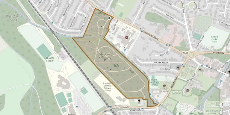
Retford Cemetery in Nottinghamshire is a large cemetery of three parts, with the original cemetery opened in 1854 and later extensions added in the 1890s and afterwards. It lies near the town centre, adjacent to the Chesterfield Canal. It contains 30 Commonwealth war graves from both World Wars and is one of the cemeteries administered by Bassetlaw District Council.
Cemetery location
GPS coordinates: 53.327343° N, 0.956526° W Directions in Google Maps (opens in a new tab)
Memorials
Showing the first 50 of 78, A–Z by surname. Search all records
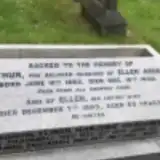 Arthur Arden 1883 – 1940
- Ellen Arden ? – 1953
 Frederick Broad 1867 – 1933
- George Broad 1885 – 1886
 Ethel Burton ? – 1953
- Harry Burton 1885 – 1944
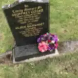 Eileen Cooke 1926 – 2006
- Geoffrey Cooke ? – 2001
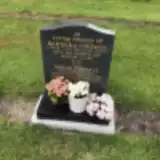 Barbara Cordall 1932 – 2017
- Derek Cordall ? – 2017
- Elinor Cracknell 1913 – 1973
- Jack Cracknell ? – 1982
 Mary Dalton ? – 1893
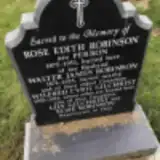 Wilfred Gilchrist 1920 – 2011
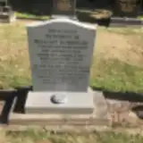 Jean Goodyear 1919 – 2012
- William Goodyear 1921 – 1990
 Francis Horsman 1818 – 1881
- Mary Horsman ? – 1897
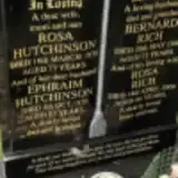 Ephraim Hutchinson ? – 1970
- Rosa Hutchinson ? – 1970
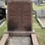 Edwin Iremonger ? – 1939
- Gwyneth Iremonger 1911 – 1939
- Lucy Iremonger 1879 – 1973
 George Jackson 1885 – 1957
 Jane Jackson ? – 1896
- Nellie Jackson 1885 – 1974
 Nigel Jackson 1971 – 2001
- Parrott Jackson 1829 – 1883
- Tony Jackson 1943 – 2002
 Charles Marsh 1803 – 1857
- George Marsh ? – 1858
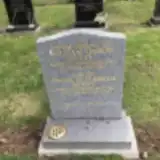 Emma Puxty 1916 – 2008
- William Puxty 1912 – 2001
 Elizabeth Rawding 1867 – 1942
- Bernard Rich 1920 – 1993
- Rosa Rich ? – 2009
- Joseph Robinson ? – 1898
- Olive Robinson 1868 – 1975
- Rose Robinson 1875 – 1951
- Walter Robinson 1874 – 1925
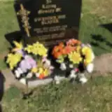 Gwendoline Slater 1922 – 2018
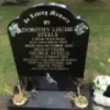 Dorothy Steels ? – 2003
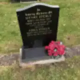 Edna Steels 1920 – 1984
- George Steels 1937 – 2018
- Henry Steels 1922 – 2002
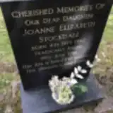 Joanne Stockdale 1962 – 1981
 Jessamine Tate ? – 1900
- John Tate 1870 – 1933
- Mary Tate 1869 – 1947
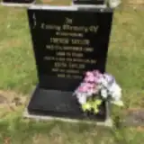 Edith Taylor 1908 – 2011
Looking for someone who isn't listed? Request a photo.
Nearby cemeteries
The closest other burial grounds listed on EveryStone.
- All Hallows Churchyard 2.1 km away · Ordsall · 64 records
- St. Bartholomew's Churchyard 3.6 km away · Sutton cum Lound
- All Saints Church, Eaton 3.9 km away · Eaton
- Hayton St Peter Nottinghamshire 4.0 km away · Hayton · 4 records
- Clarborough St John the Baptist 4.2 km away · Clarborough
- St Helen Church, Grove 4.7 km away · Grove
- St Peters Church, Gamston 5.8 km away · Gamston
- St. Barnabas Church Burial Ground 6.9 km away · Ranskill
- Ranskill & Torworth Cemetery 6.9 km away · Torworth
- St. John the Evangelist Churchyard 6.9 km away · Worksop
Contribute with the app
Our website works smoothly on both desktop and mobile devices. Prefer a native app? Check it out below.
- Capture clear headstone photos
- Save GPS grave locations automatically
- Transcribe inscriptions with our AI
- Suggest corrections to existing records
Common questions
How big is Retford Cemetery?
Retford Cemetery covers about 13 hectares (130,000 m²), about the size of 18 soccer fields. It is the 3rd largest of the 249 cemeteries we list in Nottinghamshire.
What is the oldest grave in this cemetery?
The oldest grave among the records we hold for Retford Cemetery is that of Charles Marsh, who died on June 28, 1857 at the age of 54.