
Cemetery #25907
Ashton Cemetery
Also known as Ashton (Hurst) Cemetery · Hurst Cemetery, Ashton · Hurst Cemetery
78
documented records
≈ 1,100–2,200
approx. capacity (graves)
0.055 km²
cemetery area
Nov 5, 2026
last modified
About this cemetery
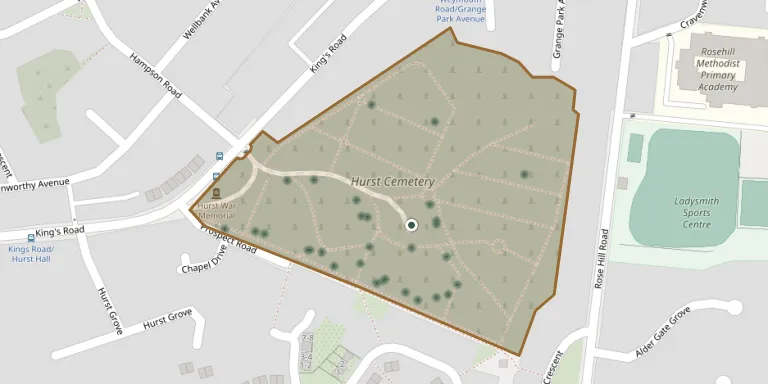
Ashton (Hurst) Cemetery is a cemetery on Kings Road in Ashton-under-Lyne. It is run by Tameside Metropolitan Borough Council and was opened in 1891. Questions about visits or burials can go to +44 161 330 1901; more information is available from tameside.gov.uk.
Cemetery location
GPS coordinates: 53.500679° N, 2.070690° W Directions in Google Maps (opens in a new tab)
Memorials
Showing the first 50 of 78, A–Z by surname. Search all records
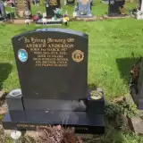 Andrew Anderson 1957 – 2011
 Ernest Ardern 1886 – 1947
- Harriet Ardern ? – 1960
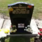 Philip Bates 1949 – 2022
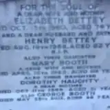 Elizabeth Bettey ? – 1960
- Henry Bettey ? – 1968
- George Booth 1921 – 2013
- Mary Booth ? – 1983
 James Buckley 1855 – 1910
 Herbert Butterworth 1884 – 1941
- John Butterworth 1910 – 1920
 Thomas Clegg 1850 – 1922
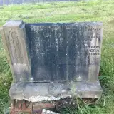 Arthur Cope 1887 – 1937
- Florence Cope ? – 1977
- Vera Cope ? – 1980
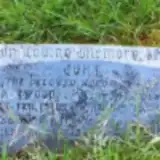 Ann Eastwood 1856 – 1929
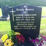 Alfred Ferguson 1916 – 1992
- Frances Ferguson 1921 – 2009
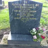 James Green 1921 – 1991
- Sarah Green 1894 – 1963
- William Green 1894 – 1973
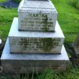 Nellie Greenbank 1904 – 1972
- Dorothy Haughty ? – 1996
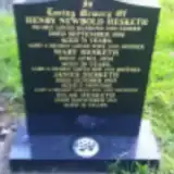 Henry Hesketh ? – 1934
- James Hesketh ? – 1903
- Mary Hesketh ? – 1904
- Silas Hesketh 1899 – 1913
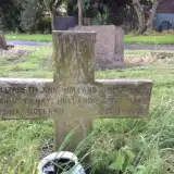 Edna Holland 1911 – 2006
- Elizabeth Holland 1867 – 1937
- John Holland 1867 – 1944
 Frank Holt 1889 – 1967
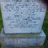 Ethel Hulley ? – 1955
- George Hulley ? – 1944
- Margaret Hulley 1929 – 1935
- Samuel Hulley ? – 1954
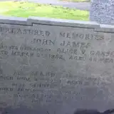 John James 1886 – 1952
- Maud James 1911 – 1929
- Sophia James 1910 – 1939
 George Jirk 1907 – 1915
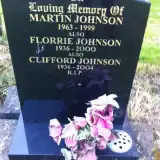 Clifford Johnson 1936 – 2004
- Florrie Johnson 1936 – 2000
- Martin Johnson 1963 – 1999
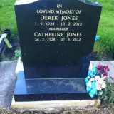 Catherine Jones 1928 – 2012
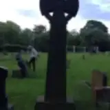 John Jones 1839 – 1919
- Lydia Jones 1843 – 1918
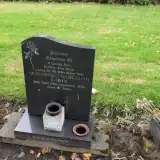 Mohammed Karim 1972 – 1992
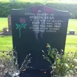 Doreen Kean 1928 – 1991
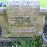 Maude Kearsley 1863 – 1923
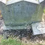 Barbara Kellett 1923 – 1945
- James Kellett ? – 1937
Looking for someone who isn't listed? Request a photo.
Nearby cemeteries
The closest other burial grounds listed on EveryStone.
- St Georges Cemetery 1.7 km away · Stalybridge
- Dukinfield Cemetery 1.8 km away · Dukinfield · 290 records
- St. George Parish Churchyard 2.3 km away · Mossley
- St John's Churchyard 2.6 km away · Dukinfield
- Mossley Cemetery 2.7 km away · Mossley
- Millbrook Cemetery 2.7 km away · Millbrook
- Bardsley Cemetery 2.8 km away · Bardsley
- Lees Cemetery 3.8 km away · Oldham · 29 records
- Newton Cemetery 4.0 km away · Newton
- Calf Lane Memorial Forest 4.2 km away · Oldham
Contribute with the app
Our website works smoothly on both desktop and mobile devices. Prefer a native app? Check it out below.
- Capture clear headstone photos
- Save GPS grave locations automatically
- Transcribe inscriptions with our AI
- Suggest corrections to existing records
Common questions
How big is Ashton Cemetery?
Ashton Cemetery covers about 55,000 m² (13 acres), about the size of 8 soccer fields. It is the 27th largest of the 226 cemeteries we list in Greater Manchester.
What is the oldest grave in this cemetery?
The oldest grave among the records we hold for Ashton Cemetery is that of James Hesketh, who died in 1903.