
61
documented records
≈ 390–780
approx. capacity (graves)
0.019 km²
cemetery area
Nov 5, 2026
last modified
About this cemetery
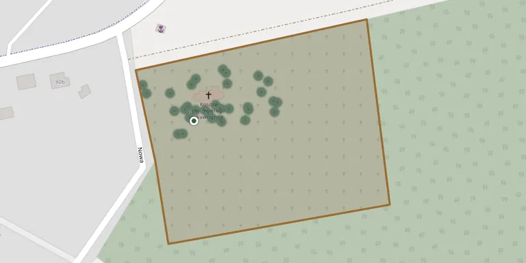
The parish cemetery in Kębłowo was founded in 1823 around the small church of St Lawrence, intended for the whole wide parish. It is managed by the Roman Catholic parish of St Bartholomew in Kębłowo, in Gmina Wolsztyn, Greater Poland.
Cemetery location
GPS: GPS coordinates: 52.051315° N, 16.110163° E Directions in Google Maps (opens in a new tab)
Memorials
Showing the first 50 of 61, A–Z by last name. Search all records
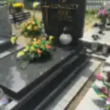 Jerzy Banaszek 1950 – 2004
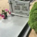 Helena Barska 1895 – 1987
- Jan Barski 1919 – 1942
- Józef Barski 1890 – 1959
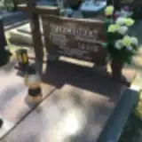 Waleria Berdowska 1895 – 1963
 Bolesław Berdowski 1888 – 1949
 Apolonia Borowczak 1904 – 1975
- Jan Borowczak 1899 – 1943
- Stefan Borowczak 1938 – 1954
 Maria Brambor 1912 – 1995
 Elżbieta Brombor 1908 – 1993
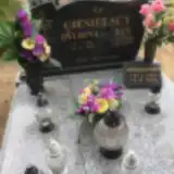 Balbina Ciesielska 1906 – 1992
- Marianna Ciesielska 1934 – 2016
- Jan Ciesielski 1905 – 1977
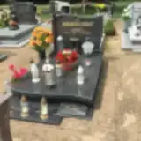 Pelagia Czaińska 1903 – 1999
- Maksymilian Czainski 1901 – 1956
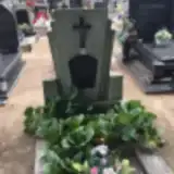 Wincenty Dudziak 1873 – 1949
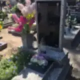 Anna Flieger 1872 – 1925
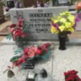 Franciszka Głuszak 1917 – 2006
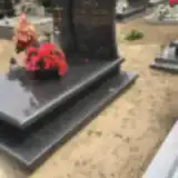 Antoni Jurga 1925 – 2013
- Ludwik Jurga 1886 – 1943
- Maria Jurga 1895 – 1955
- Zofia Jurga 1927 – 1984
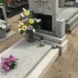 Jan Klis ? – 1980
- Walenty Klis 1899 – 1944
- Wiktoria Klis 1892 – 1969
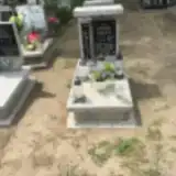 Dominik Krys 1987 – 1987
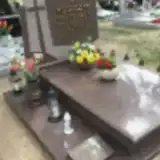 Franciszek Kubaczyk 1923 – 2006
- Jadwiga Kubaczyk 1932 – 2015
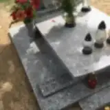 Bronisław Kurkiewicz 1914 – 1987
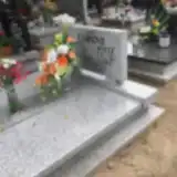 Anna Lorenz 1928 – 2002
- Józef Lorenz 1913 – 1995
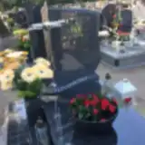 Natalia Matysiak 1954 – 2017
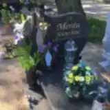 Stanisław Merda 1959 – 2006
 Florentyna Nijaka 1910 – 1962
- Czesław Nowak 1934 – 1981
 Florian Nowak 1916 – 1985
- Helena Nowak 1928 – 2006
 Jan Nowak 1923 – 1950
- Marta Nowak 1913 – 2002
- Stanisława Nowak 1893 – 1977
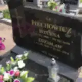 Helena Piechowicz 1928 – 2009
- Zdzisław Piechowicz 1928 – 2012
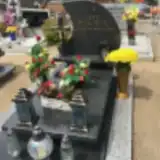 Jan Piskorski 1927 – 1982
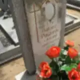 Tadeusz Pławiński 1948 – 1968
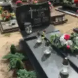 Maria Ratajska 1911 – 1981
- Leon Ratajski 1946 – 1993
- Piotr Ratajski 1910 – 1965
 Michalina Rogozińska 1873 – 1953
- Władysław Rogoziński 1915 – 1986
Looking for someone who isn't listed? Request a photo.
Nearby cemeteries
The closest other burial grounds listed on EveryStone.
- Obra Cemetery 5.4 km away · Obra · 2 records
- Świętno Cemetery 5.9 km away · Świętno · 40 records
- Niałek Wielki Evangelical Cemetery 6.6 km away · Niałek Wielki
- Solec Nowy Evangelical Cemetery (now Roman Catholic) 6.7 km away · Solec Nowy
- Wolsztyn Parish Cemetery 6.9 km away · Wolsztyn · 167 records
- Wolsztyn Soviet War Cemetery (officers') 6.9 km away · Wolsztyn · 22 records
- Komorowo Cemetery 6.9 km away · Adamowo · 30 records
- Wolsztyn Soviet War Cemetery (prisoner-of-war) 7.1 km away · Wolsztyn
- Mochy Cemetery 7.3 km away · Mochy · 27 records
- Gościeszyn Parish Cemetery 8.3 km away · Gościeszyn · 33 records
Contribute with the app
Our website works smoothly on both desktop and mobile devices. Prefer a native app? Check it out below.
- Capture clear headstone photos
- Save GPS grave locations automatically
- Transcribe inscriptions with our AI
- Suggest corrections to existing records
Common questions
How big is Kębłowo Parish Cemetery?
Kębłowo Parish Cemetery covers about 19,000 m² (4.8 acres), about the size of 3 soccer fields. It is the 125th largest of the 1,233 cemeteries we list in Greater Poland Voivodeship.
What is the oldest grave in this cemetery?
The oldest grave among the records we hold for Kębłowo Parish Cemetery is that of Anna Flieger, who died on June 1, 1925 at the age of 53.