
167
documented records
≈ 530–1,100
approx. capacity (graves)
0.026 km²
cemetery area
Nov 5, 2026
last modified
About this cemetery
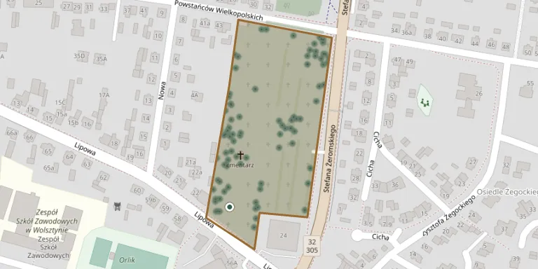
This is the parish cemetery of the parish of the Immaculate Conception of the Blessed Virgin Mary in Wolsztyn, located on Lipowa street. It is run by the parish.
Cemetery location
GPS: GPS coordinates: 52.112339° N, 16.124611° E Directions in Google Maps (opens in a new tab)
Memorials
Showing the first 50 of 167, A–Z by last name. Search all records
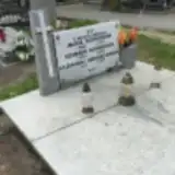 Kazimierz Andrzejewski 1893 – 1935
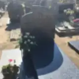 Zygmunt Bajonczak 1953 – 2003
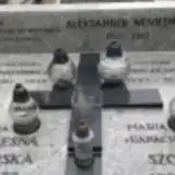 Franciszka Banachowicz 1861 – 1936
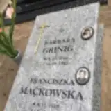 Grinig Barbara 1924 – 1945
 Michał Buchta 1868 – 1945
 Stefan Giepliński 1927 – 1999
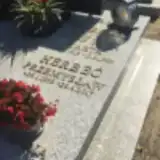 Przemysław Herbeć 1959 – 2017
 Katarzyna Jankowiak 1924 – 2018
- Stanisław Jankowiak 1925 – 2002
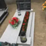 Jan Karaśkiewicz 1920 – 1984
- Łucja Karaśkiewicz 1920 – 2012
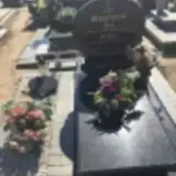 Helena Kostyra 1918 – 2002
- Jan Kostyra 1910 – 1976
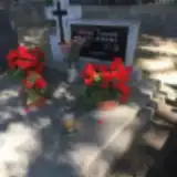 Helena Kotlarska 1927 – 1977
- Tomasz Kotlarski 1923 – 1990
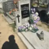 Bronisława Krawczyk 1901 – 1983
 Bronisława Krawczyk 1897 – 1981
 Feliks Krawczyk 1906 – 1952
- Marianna Krawczyk 1874 – 1958
- Weronika Krawczyk 1911 – 1998
 Leon Królewicz 1913 – 1997
 Antoni Kryś 1929 – 1993
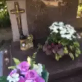 Józef Kryś 1949 – 1998
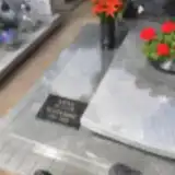 Anna Krzemień 1913 – 1970
- Mateusz Krzemień 1905 – 1994
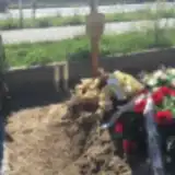 Gertruda Kubaczyk 1926 – 2018
- Edmund Kubala 1909 – 1979
- Marta Kubala 1909 – 1995
- Agnieszka Kuchta 1902 – 1995
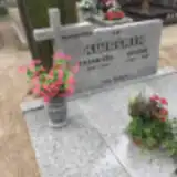 Janina Kwaśnik 1907 – 1989
- Kazimierz Kwaśnik 1898 – 1982
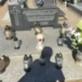 Józef Kwinto 1903 – 1983
- Zofia Kwinto 1917 – 1994
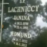 Janina Lachnicka 1936 – 1992
- Edmund Lachnicki 1932 – 2013
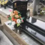 Przemysław Lautenberg 1977 – 2006
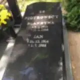 Piotr Leśniewski 1950 – 2008
- Maria Lisiewicz 1935 – 2013
 Halina Lisowska 1928 – 1991
- Franciszek Lisowski 1929 – 1994
 Stanisław Litwa 1932 – 1983
 Ludwik Lorenc 1914 – 1981
 Michałek Lorenc 1983 – 1997
- Wincenty Lorenc 1868 – 1924
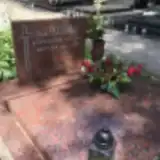 Wanda Łuch 1916 – 2007
- Franciszka Maćkowska 1930 – 1980
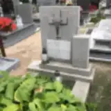 Wincenty Mania 1909 – 1941
 Iwona Marciniak 1966 – 1968
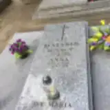 Anna Matysik 1920 – 1996
- Ignacy Matysik 1909 – 1970
Looking for someone who isn't listed? Request a photo.
Nearby cemeteries
The closest other burial grounds listed on EveryStone.
- Wolsztyn Soviet War Cemetery (prisoner-of-war) 240 m away · Wolsztyn
- Wolsztyn Soviet War Cemetery (officers') 1.1 km away · Wolsztyn · 22 records
- Komorowo Cemetery 1.3 km away · Adamowo · 30 records
- Niałek Wielki Evangelical Cemetery 2.7 km away · Niałek Wielki
- Młyńsko Evangelical Cemetery Ruins 3.2 km away · Młyńsko
- Barłozna Wolsztyńska Former Cemetery 5.7 km away · Barłozna Wolsztyńska
- Gościeszyn Parish Cemetery 5.9 km away · Gościeszyn · 33 records
- Rostarzewo Cemetery 6.2 km away · Rostarzewo · 29 records
- Obra Cemetery 6.6 km away · Obra · 2 records
- Kębłowo Parish Cemetery 6.9 km away · Kębłowo · 61 records
Contribute with the app
Our website works smoothly on both desktop and mobile devices. Prefer a native app? Check it out below.
- Capture clear headstone photos
- Save GPS grave locations automatically
- Transcribe inscriptions with our AI
- Suggest corrections to existing records
Common questions
How big is Wolsztyn Parish Cemetery?
Wolsztyn Parish Cemetery covers about 26,000 m² (6.5 acres), about the size of 4 soccer fields. It is the 78th largest of the 1,233 cemeteries we list in Greater Poland Voivodeship.
What is the oldest grave in this cemetery?
The oldest grave among the records we hold for Wolsztyn Parish Cemetery is that of Józef Nitschke, who died on February 13, 1907 at the age of 62.