
Cemetery #27051
Kościan Municipal Cemetery
Local name: Kościan, cmentarz komunalny
Also known as Cmentarz wojenny z II wojny światowej, Kościan
412
documented records
≈ 1,500–3,000
approx. capacity (graves)
0.076 km²
cemetery area
Nov 5, 2026
last modified
About this cemetery
The municipal cemetery in Kościan is managed by the town's Municipal Housing and Roads Management unit (Miejski Zaklad Gospodarki Mieszkaniowej i Drog). Beside it is a collective grave for about 1,086 people from the former 19th-century cemetery that once functioned in the town. Grave locations can be looked up through the Grobonet system.
Cemetery location
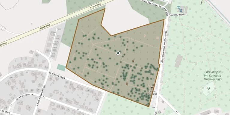
GPS coordinates: 52.094208° N, 16.634602° E Directions in Google Maps (opens in a new tab)
Memorials
Showing the first 50 of 412, A–Z by surname. Search all records
 Ludmiła Adamska 1928 – 1976
 Bronisława Ambroża 1913 – 1992
- Franciszek Ambrozy 1906 – 1986
 Maria Andrzejczak 1884 – 1959
- Stanisław Andrzejczak 1883 – 1962
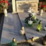 Zygmunt Andrzejczak 1956 – 2005
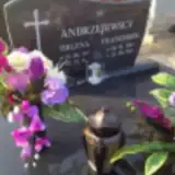 Helena Andrzejewska 1923 – 2010
- Franciszek Andrzejewski 1913 – 1981
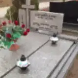 Lech Andrzejewski 1951 – 2008
 Józefa Arłowska 1870 – 1951
- Marta Arłowska 1905 – 1968
- Władysław Arłowski 1899 – 1954
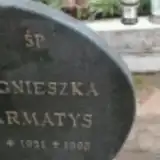 Agnieszka Armatys 1921 – 1995
- Czesław Augusiak 1923 – 1980
- Jadwiga Augusiak 1923 – 1999
 Władysław Babiarczyk 1930 – 1998
 Wiktoria Bajsert 1921 – 1990
- Władysław Bajsert 1947 – 2011
- Władysław Bajsert 1917 – 1996
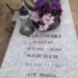 Marian Bakowski 1934 – 1997
- Wojciech Bąkowski 1965 – 2004
 Izydor Balcerzak 1907 – 1983
 Cecylia Bartkowiak 1912 – 1994
- Franciszek Bartkowiak 1908 – 1977
 Franciszek Beba 1902 – 1994
 Genia Bech 1931 – 1936
 Leon Bednarek 1916 – 1988
- Wiera Bednarek 1921 – 1993
 Halina Bernaczyk 1939 – 1957
- Stanisława Bernaczyk 1902 – 1982
- Wincenty Bernaczyk 1905 – 1992
 Andrzej Beszterba 1867 – 1933
- Zofia Beszterba 1887 – 1955
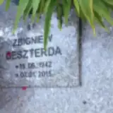 Zbigniew Beszterda 1942 – 2015
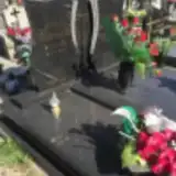 Antoni Biernacki 1932 – 2013
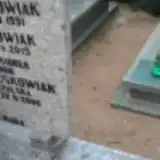 Wincenty Bisiorek 1902 – 1966
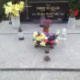 Edmund Błażejak 1928 – 1973
- Helena Błażejak 1922 – 1982
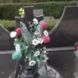 Wacław Boguś 1908 – 1973
- Zofia Boguś 1910 – 1992
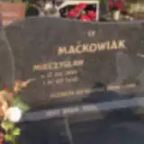 Elżbieta Borowiak 1904 – 1981
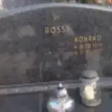 Józefa Bossy 1915 – 1995
- Konrad Bossy 1938 – 1987
- Szczepan Bossy 1914 – 1985
 Agnieszka Bressa 1899 – 1981
 Stanisław Bródka 1943 – 1981
 Antoni Brygier 1936 – 1996
 Agnieszka Budnik 1919 – 1989
- Aleksander Budnik 1911 – 2001
- Piotr Budzyn 1950 – 2011
Looking for someone who isn't listed? Request a photo.
Nearby cemeteries
The closest other burial grounds listed on EveryStone.
- Assumption of the Blessed Virgin Mary Parish Cemetery, Kościan 120 m away · Kościan · 4 records
- Assumption of the Blessed Virgin Mary Old Parish Cemetery, Kościan 600 m away · Kościan · 169 records
- Bonikowo Parish Cemetery 2.9 km away · Bonikowo · 60 records
- Stare Oborzyska Our Lady of Consolation Parish Cemetery 4.7 km away · Stare · 60 records
- Lubosz Nowy Cemetery 4.8 km away · Lubosz Nowy · 48 records
- Białcz Old Parish Cemetery 6.6 km away · Białcz · 23 records
- Racot Parish Cemetery 6.7 km away · Racot · 46 records
- Łęki Wielkie Cemetery 9.2 km away · Łęki Wielkie · 51 records
- Gryżyna Parish Cemetery 9.4 km away · Gryżyna · 35 records
- Stary Gołębin Parish Cemetery 10 km away · Stary Gołębin · 17 records
Contribute with the app
Our website works smoothly on both desktop and mobile devices. Prefer a native app? Check it out below.
- Capture clear headstone photos
- Save GPS grave locations automatically
- Transcribe inscriptions with our AI
- Suggest corrections to existing records
Common questions
How big is Kościan Municipal Cemetery?
Kościan Municipal Cemetery covers about 76,000 m² (19 acres), about the size of 11 soccer fields. It is the 13th largest of the 1,233 cemeteries we list in Greater Poland Voivodeship.
What is the oldest grave in this cemetery?
The oldest grave among the records we hold for Kościan Municipal Cemetery is that of Józef Grajek, who died in 1919 at the age of 51.