
Cemetery #419374
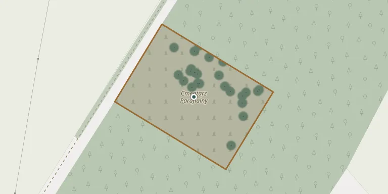
Racot Parish Cemetery
Local name: Cmentarz Parafialny, Racot
Also known as Racot Municipal Cemetery · Racot cmentarz komunalny
46
documented records
≈ 120–250
approx. capacity (graves)
6,230 m²
cemetery area
Nov 5, 2026
last modified
About this cemetery
A cemetery in Racot is listed among the municipal cemeteries of Gmina Kościan.
Cemetery location
GPS: GPS coordinates: 52.050176° N, 16.702313° E Directions in Google Maps (opens in a new tab)
Memorials
46 memorials, A–Z by last name.
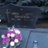 Józef Adamczak 1927 – 2011
- Zofia Adamczak 1929 – 1998
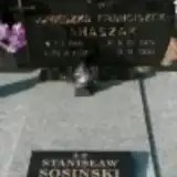 Agnieszka Banaszak 1921 – 2012
- Franciszek Banaszak 1916 – 1995
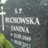 Janina Buchowska 1949 – 2012
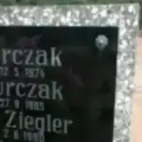 Maria Burczak 1913 – 1974
- Stefan Burczak 1910 – 1985
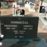 Andrzej Dominiczak 1905 – 1998
- Franciszka Dominiczak 1909 – 1997
 Józef Donaj 1932 – 2017
- Teresa Donaj 1936 – 2007
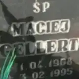 Maciej Gellert 1968 – 1995
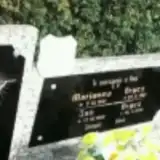 Jan Grycz 1886 – 1972
- Marianna Grycz 1891 – 1981
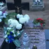 Magdalena Jackowska 1909 – 1996
- Jan Jackowski 1904 – 1978
 Czesław Kąkolewski 1914 – 1993
 Bronisław Kasprzak 1936 – 1994
 Aleksy Kubiak 1887 – 1940
- Jadwiga Kubiak 1888 – 1980
- Maria Kubiak 1928 – 2011
- Prakseda Kubiak 1913 – 1978
 Andrzej Lubinski 1950 – 2000
- Maria Nyczak 1897 – 1975
 Mieczysław Przybylski 1953 – 2018
 Czesław Ratajczak 1928 – 1983
- Zofia Ratajczak 1927 – 1997
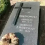 Barbara Roszkowska 1915 – 2009
 Marianna Ruskowiak 1923 – 2002
 Pelagia Serafinowska 1917 – 1990
 Prakseda Serafinowska 1918 – 1993
- Franciszek Serafinowski ? – 1983
- Józef Serafinowski 1914 – 1980
- Stanisław Sosiński 1947 – 1985
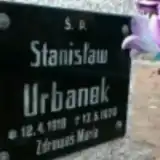 Stanisław Urbanek 1918 – 1979
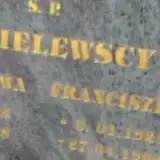 Stanisława Wasielewska 1924 – 2008
- Eugeniusz Wasilewski 1966 – 1967
- Izabela Włodarczak 1983 – 1983
 Krystyna Wolsztynska 1936 – 1998
- Agnieszka Wolsztyńska ? – 2006
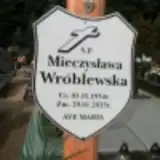 Mieczysława Wróblewska 1934 – 2015
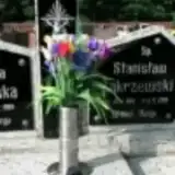 Magdalena Zakrzewska 1910 – 1984
- Stanisław Zakrzewski 1911 – 1995
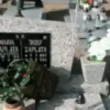 Józef Zapłata 1907 – 1985
- Maria Zapłata 1917 – 1992
- Kazimiera Ziegler 1940 – 1990
Looking for someone who isn't listed? Request a photo.
Nearby cemeteries
The closest other burial grounds listed on EveryStone.
- Gryżyna Parish Cemetery 2.9 km away · Gryżyna · 35 records
- Lubosz Nowy Cemetery 3.1 km away · Lubosz Nowy · 48 records
- Choryń Parish Cemetery 4.6 km away · Choryń · 24 records
- Wonieść St. Lawrence Parish Cemetery 5.5 km away · Wonieść · 93 records
- Assumption of the Blessed Virgin Mary Old Parish Cemetery, Kościan 6.1 km away · Kościan · 169 records
- Wyskoć St. Andrew the Apostle Parish Cemetery 6.6 km away · Wyskoć · 97 records
- Assumption of the Blessed Virgin Mary Parish Cemetery, Kościan 6.6 km away · Kościan · 4 records
- Stary Gołębin Parish Cemetery 6.7 km away · Stary Gołębin · 17 records
- Stare Oborzyska Our Lady of Consolation Parish Cemetery 6.7 km away · Stare · 60 records
- Kościan Municipal Cemetery 6.7 km away · Kościan · 412 records
Contribute with the app
Our website works smoothly on both desktop and mobile devices. Prefer a native app? Check it out below.
- Capture clear headstone photos
- Save GPS grave locations automatically
- Transcribe inscriptions with our AI
- Suggest corrections to existing records
Common questions
How big is Racot Parish Cemetery?
Racot Parish Cemetery covers about 6,230 m² (1.5 acres), about the size of a soccer field. It is the 584th largest of the 1,233 cemeteries we list in Greater Poland Voivodeship.
What is the oldest grave in this cemetery?
The oldest grave among the records we hold for Racot Parish Cemetery is that of Aleksy Kubiak, who died in 1940 at the age of 53.