
490
documented records
≈ 760–1,500
approx. capacity (graves)
0.038 km²
cemetery area
Oct 18, 2026
last modified
About this cemetery
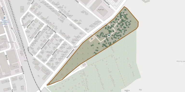
The Upper Cemetery (Horný cintorín) in Myjava is one of two town cemeteries run by the municipal property management company Správa majetku Mesta Myjava.
Cemetery location
GPS coordinates: 48.760782° N, 17.578213° E Directions in Google Maps (opens in a new tab)
Memorials
Showing the first 50 of 490, A–Z by surname. Search all records
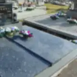 Ján Adámek 1933 – 1956
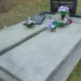 Ján Adámek 1933 – 2005
- Ján Adámek 1904 – 1960
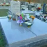 Juraj Adámek 1911 – 1985
 Pavel Adámek 1887 – 1969
 Štefan Adámek 1893 – 1969
 Štefan Adámek 1920 – 1980
 Štefan Adámek 1943 – 2001
- Štefan Adámek 1960 – 2021
- Alžbeta Adámková 1936 – 2023
- Alžbeta Adámková 1924 – 2012
- Anna Adámková 1901 – 1985
- Anna Adámková 1902 – 1976
- Zuzana Adámková 1911 – 1994
- Zuzana Adámková 1907 – 1979
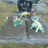 Pavol Adásek 1901 – 1982
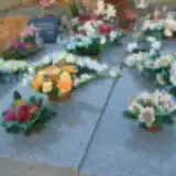 Štefan Adásek 1919 – 2008
- Alžbeta Adásková 1928 – 2004
- Anna Adásková 1910 – 1982
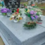 Zuzana Andrisová 1991 – 1991
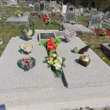 Samuel Babiar 1905 – 1990
- Katarína Babiarová 1906 – 1969
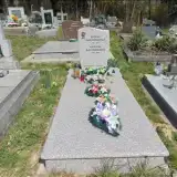 Katarína Bachoríková 1935 – 2016
- Zuzana Bachoríková 1901 – 1974
 Anna Báchoriková ? – 1967
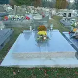 Jozef Barina 1907 – 1975
- Zuzana Barinová 1912 – 1983
 Ján Bednárik 1946 – 2020
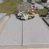 Pavol Benda 1910 – 1988
- Zuzana Bendová 1914 – 1997
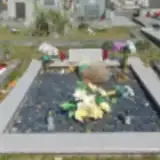 Pavel Bičian 1933 – 1976
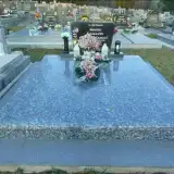 Samuel Bičian 1929 – 2001
- Anna Bičianová 1931 – 1989
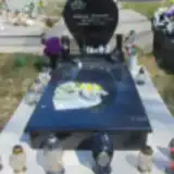 Katarína Bičianová 1985 – 2017
- Mária Bičianová 1937 – 2011
- Zuzana Bičianová 1936 – 2020
 Adolf Bielčik 1902 – 1993
 Ján Bielčik 1930 – 2021
 Janko Bielčik 1961 – 1962
- Pavol Bielčik 1926 – 2007
- Štefan Bielčik 1895 – 1981
- Alžbeta Bielčiková 1895 – 1983
- Zuzana Bielčiková 1937 – 2019
- Anna Bielčíková 1928 – 2021
 Pavol Borovský 1946 – 2023
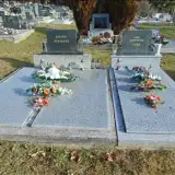 Anna Borýsková 1896 – 1974
 Dušan Brezina 1984 – 2005
- Pavol Brezina 1899 – 1983
- Pavol Brezina 1959 – 2023
- Anna Brezinová 1900 – 1977
Looking for someone who isn't listed? Request a photo.
Nearby cemeteries
The closest other burial grounds listed on EveryStone.
- Myjava Jewish Cemetery 2.1 km away · Myjava
- Myjava Lower Cemetery 2.3 km away · Myjava · 942 records
- Turá Lúka Cemetery 3.8 km away · Myjava · 215 records
- Stará Turá Jewish Cemetery 8.2 km away · Stará Turá
- Stará Turá Catholic Cemetery 8.4 km away · Stará Turá
- Stará Turá Cemetery II (Husitská cesta) 9.1 km away · Beckov
- Stará Turá Evangelical Cemetery 9.1 km away · Stará Turá
- Stará Turá Municipal Cemetery 9.2 km away · Stará Turá
- Kostolné Cemetery 9.6 km away · Kostolné · 59 records
- Vrbovce Jewish Cemetery 9.7 km away · Vrbovce
Contribute with the app
Our website works smoothly on both desktop and mobile devices. Prefer a native app? Check it out below.
- Capture clear headstone photos
- Save GPS grave locations automatically
- Transcribe inscriptions with our AI
- Suggest corrections to existing records
Common questions
How big is Myjava Upper Cemetery?
Myjava Upper Cemetery covers about 38,000 m² (9.3 acres), about the size of 5 soccer fields. It is the 14th largest of the 387 cemeteries we list in Region of Trenčín.
What is the oldest grave in this cemetery?
The oldest grave among the records we hold for Myjava Upper Cemetery is that of Anna Valášková, who died on January 4, 1892 at the age of 45.