
Cemetery #30059
Carmarthen Cemetery
Also known as Carmarthen Town Council Cemetery
150
documented records
≈ 900–1,800
approx. capacity (graves)
0.045 km²
cemetery area
Nov 5, 2026
last modified
About this cemetery
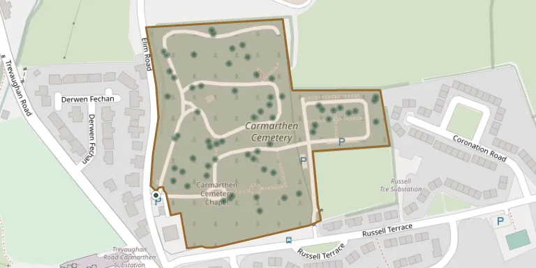
Carmarthen Cemetery lies to the north of the town on Elim Road and is managed by Carmarthen Town Council. It has a cemetery chapel that is a Grade II listed building.
Cemetery location
GPS coordinates: 51.863804° N, 4.320912° W Directions in Google Maps (opens in a new tab)
Memorials
Showing the first 50 of 150, A–Z by surname. Search all records
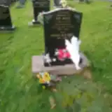 Roger Bartley 1945 – 2010
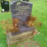 Matthew Bishop 1976 – 2020
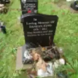 Stephen Catlin 1978 – 2018
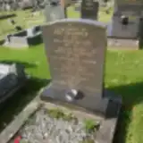 Addie Chadwick 1880 – 1961
- John Chadwick 1887 – 1939
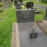 John Daniel 1908 – 1980
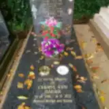 Cheryl Davies 1958 – 2023
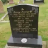 Doris Davies 1912 – 1984
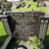 Edith Delves ? – 1963
- Ernest Delves ? – 1955
- Felice Dragone 1937 – 2019
- Gino Dragone 1957 – 1984
- Sheila Dragone 1937 – 2022
 Morfudd Elizabeth 1917 – 1996
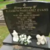 David Evans 1933 – 1993
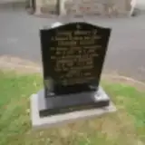 Doreen Evans 1918 – 2019
- Elizabeth Evans 1914 – 1960
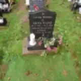 Glyn Evans 1935 – 2018
- Ivor Evans 1935 – 2005
 Jane Evans 1858 – 1905
- Janet Evans 1949 – 2005
- John Evans 1863 – 1897
- Linda Evans 1933 – 2020
 Mark Evans ? – 1978
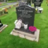 Richard Evans 1953 – 2022
- Roy Evans ? – 2002
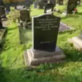 Terence Evans 1930 – 2011
- Titus Evans ? – 1864
- Trevor Evans 1917 – 2002
- William Evans 1910 – 1976
- Lenny Frater ? – 2018
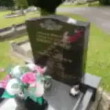 Martha Greenhow 1893 – 1962
 Ernest Griffiths 1881 – 1962
- Letitia Griffiths 1888 – 1964
- Mair Griffiths 1926 – 2008
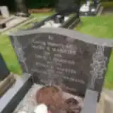 David Harries 1895 – 1978
- Ethel Harries 1924 – 2005
- Mary Harries 1892 – 1964
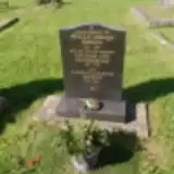 Phyllis Hopkins 1912 – 1993
- Sandra Hopkins 1945 – 2016
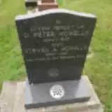 Steven Howells 1966 – 1991
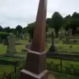 Alice Irving 1871 – 1937
- Mary Irving 1845 – 1915
- Thomas Irving 1822 – 1899
 Anne James 1854 – 1930
- John James 1887 – 1965
- Kenneth James 1915 – 1991
 Florence Jenkins ? – 1906
- Sarah Jenkins ? – 1896
- Thomas Jenkins 1811 – 1880
Looking for someone who isn't listed? Request a photo.
Nearby cemeteries
The closest other burial grounds listed on EveryStone.
- St Marys Roman Catholic Church, Carmarthen 680 m away · Carmarthen · 4 records
- Union Street Chapel 770 m away · Carmarthen
- St. David's Church Burial Ground 860 m away · Carmarthen · 91 records
- Carmarthen Tabernacle Baptist Chapelyard 990 m away · Carmarthen
- Ebenezer Welsh Wesleyan Congregational Chapelyard 1.1 km away · Carmarthen
- St Peter Carmarthen 1.4 km away · Carmarthen · 15 records
- Parish Church of St Ceinwr, Llangunnor 2.8 km away · Abergwili · 66 records
- Foelcwan Noddfa Baptist Churchyard 2.8 km away · Newchurch · 2 records
- Quarry Cottage Cemetery 2.9 km away · Quarry Cottage
- Ebenezer Baptist Chapel, Abergwili 3.4 km away · Abergwili · 21 records
Contribute with the app
Our website works smoothly on both desktop and mobile devices. Prefer a native app? Check it out below.
- Capture clear headstone photos
- Save GPS grave locations automatically
- Transcribe inscriptions with our AI
- Suggest corrections to existing records
Common questions
How big is Carmarthen Cemetery?
Carmarthen Cemetery covers about 45,000 m² (11 acres), about the size of 6 soccer fields. It is the 2nd largest of the 272 cemeteries we list in Carmarthenshire.
What is the oldest grave in this cemetery?
The oldest grave among the records we hold for Carmarthen Cemetery is that of Henry Jones, who died on January 12, 1862 at the age of 53.