
15
documented records
≈ 81–160
approx. capacity (graves)
4,030 m²
cemetery area
Nov 5, 2026
last modified
About this cemetery
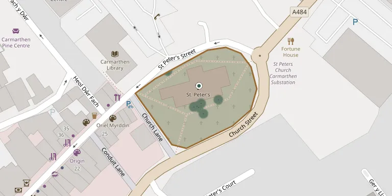
St Peter's churchyard in Carmarthen lies just inside what was the west gate of the Roman town of Moridunum and has an oval shape, a feature characteristic of Celtic foundations. The surrounding church has its oldest parts, including the chancel, north transept, north aisle and parts of the tower, dating to the 13th century. A map of the graveyard is displayed inside the church, and the lychgate to the churchyard is Grade II listed.
Cemetery location
GPS coordinates: 51.858051° N, 4.302678° W Directions in Google Maps (opens in a new tab)
Memorials
15 memorials, A–Z by surname.
 Elizabeth Barnett 1915 – 1986
 Mona Campbell 1919 – 1997
 Douglas Coles 1917 – 1995
- Gwyneth Coles 1916 – 2003
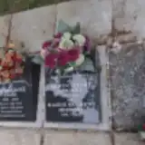 Maggie Herbert 1981 – 2021
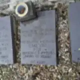 Emlyn Jones ? – 1983
- Kate Jones 1909 – 1981
- Nancy Loosen 1910 – 1986
 William Nott 1787 – 1845
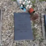 Donald Owen 1910 – 1993
- Gwyneth Owen 1910 – 1995
 James Owens 1828 – 1830
- John Owens ? – 1830
- Mary Owens ? – 1848
- Herbert Stuart 1953 – 2021
Looking for someone who isn't listed? Request a photo.
Nearby cemeteries
The closest other burial grounds listed on EveryStone.
- Ebenezer Welsh Wesleyan Congregational Chapelyard 340 m away · Carmarthen
- Carmarthen Tabernacle Baptist Chapelyard 420 m away · Carmarthen
- St. David's Church Burial Ground 970 m away · Carmarthen · 91 records
- St Marys Roman Catholic Church, Carmarthen 1.2 km away · Carmarthen · 4 records
- Union Street Chapel 1.2 km away · Carmarthen
- Carmarthen Cemetery 1.4 km away · Carmarthen · 150 records
- Parish Church of St Ceinwr, Llangunnor 1.5 km away · Abergwili · 66 records
- Ebenezer Baptist Chapel, Abergwili 2.3 km away · Abergwili · 21 records
- Saint Davids Churchyard 2.5 km away · Abergwili · 32 records
- St Annes Church, Cwmffrwd 3.3 km away · Carmarthen
Contribute with the app
Our website works smoothly on both desktop and mobile devices. Prefer a native app? Check it out below.
- Capture clear headstone photos
- Save GPS grave locations automatically
- Transcribe inscriptions with our AI
- Suggest corrections to existing records
Common questions
How big is St Peter Carmarthen?
St Peter Carmarthen covers about 4,030 m² (1 acre), about half the size of a soccer field. It is the 68th largest of the 272 cemeteries we list in Carmarthenshire.
What is the oldest grave in this cemetery?
The oldest grave among the records we hold for St Peter Carmarthen is that of John Owens, who died on August 10, 1830.