
Cemetery #301174
Coquerées Cemetery, Ottignies
Local name: Cimetière des Coquerées
73
documented records
≈ 140–280
approx. capacity (graves)
7,030 m²
cemetery area
Nov 4, 2026
last modified
About this cemetery
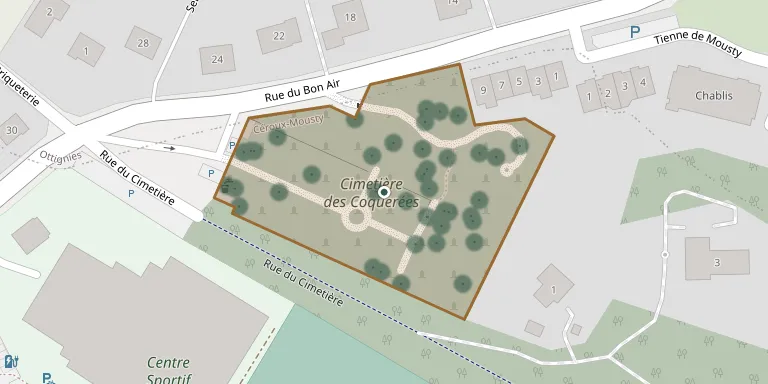
The Cimetière des Coquerées is a municipal cemetery in the Coquerées neighbourhood of Céroux-Mousty, in Ottignies-Louvain-la-Neuve.
Cemetery location
GPS: GPS coordinates: 50.663646° N, 4.558141° E Directions in Google Maps (opens in a new tab)
Memorials
Showing the first 50 of 73, A–Z by surname. Search all records
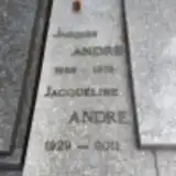 Jacqueline Andre 1929 – 2011
- Jacques Andre 1926 – 1973
 Henri Art 1918 – 1951
 Jean Art 1897 – 1984
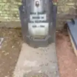 Odile Badot 1872 – 1938
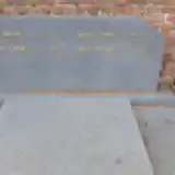 Alice Bastians 1873 – 1942
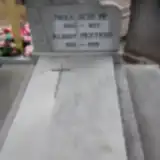 Paula Bouché 1920 – 1977
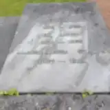 Eva Bouxin 1879 – 1955
 Joseph Capieaux 1902 – 1999
- Justin Capieaux 1880 – 1927
 Fernand Clericy 1916 – 1983
 Georges Coq 1927 – 2005
- Clémence Courbet 1912 – 1989
- Gustave Courbet 1873 – 1945
 Alphonse D'Aout 1848 – 1928
- Jean-Antoine D'Aout 1889 – 1963
- Jean-Baptiste D'Aout 1854 – 1917
 Alma Debroux 1888 – 1974
 Roger Dedave 1913 – 1995
 Rosa Dejean 1889 – 1972
 Roger Delaitre 1932 – 1997
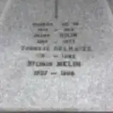 Therese Delhaize ? – 1983
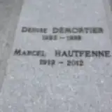 Denise Demortier 1923 – 1995
 Joseph Detry 1900 – 1968
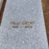 Nelly Detry 1932 – 2009
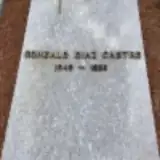 Gonzalo Diaz Castro 1945 – 1999
 Rachelle Dignef 1918 – 1993
 Andre Douchamps 1938 – 2014
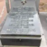 Antoine Everaerts 1816 – 1876
- Irma Everaerts 1860 – 1945
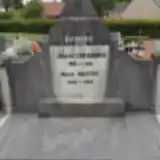 Joseph Everaerts 1864 – 1931
- Jules Everaerts 1863 – 1943
- Leon Everaerts 1873 – 1955
- Albert Fortier 1890 – 1962
- Célina Gillard 1880 – 1974
- Elise Gillet 1917 – 2002
 Léonet Glibet 1925 – 1967
 Lucie Grégoire 1917 – 1995
 Joséphine Hastat 1915 – 2004
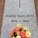 Joseph Haulotte 1909 – 1982
- Marcel Hautfenne 1919 – 2012
- Angele Leclercq 1879 – 1959
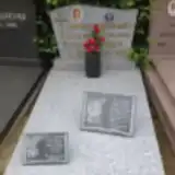 Simone Legrand 1922 – 2003
- Lucienne Lizon 1902 – 1983
 Sergio Martello 1951 – 2012
 Georges Mayne 1907 – 1980
- Jules Melin 1893 – 1977
- Maurice Melin 1913 – 1983
- Sylvain Melin 1927 – 1998
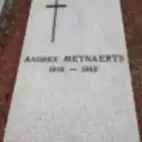 Andrée Meynaerts 1918 – 1983
Looking for someone who isn't listed? Request a photo.
Nearby cemeteries
The closest other burial grounds listed on EveryStone.
- Mousty Cemetery 10 m away · Ottignies-Louvain-la-Neuve
- Ottignies Cemetery 470 m away · Nivelles · 123 records
- Blocry Cemetery 2.2 km away · Ottignies-Louvain-la-Neuve · 74 records
- Limelette Cemetery 2.6 km away · Ottignies-Louvain-la-Neuve · 60 records
- Court-Saint-Étienne Communal Cemetery 2.8 km away · Walloon Brabant · 133 records
- Église Notre Dame du Bon Secours, Céroux 3.1 km away · Nivelles · 14 records
- Rofessart Cemetery 3.2 km away · Ottignies-Louvain-la-Neuve · 16 records
- Limal Old Cemetery 3.8 km away · Wavre · 98 records
- Mont-Saint-Guibert Cemetery 4.1 km away · Mont-Saint-Guibert
- Limal New Cemetery 4.3 km away · Profonsart · 1 record
Contribute with the app
Our website works smoothly on both desktop and mobile devices. Prefer a native app? Check it out below.
- Capture clear headstone photos
- Save GPS grave locations automatically
- Transcribe inscriptions with our AI
- Suggest corrections to existing records
Common questions
How big is Coquerées Cemetery, Ottignies?
Coquerées Cemetery, Ottignies covers about 7,030 m² (1.7 acres), about the size of a soccer field. It is the 38th largest of the 175 cemeteries we list in Walloon Brabant.
What is the oldest grave in this cemetery?
The oldest grave among the records we hold for Coquerées Cemetery, Ottignies is that of Antoine Everaerts, who died in 1876 at the age of 60.