
Cemetery #9120
Blocry Cemetery
Local name: Cimetière de Blocry
74
documented records
≈ 120–240
approx. capacity (graves)
5,960 m²
cemetery area
Nov 5, 2026
last modified
About this cemetery
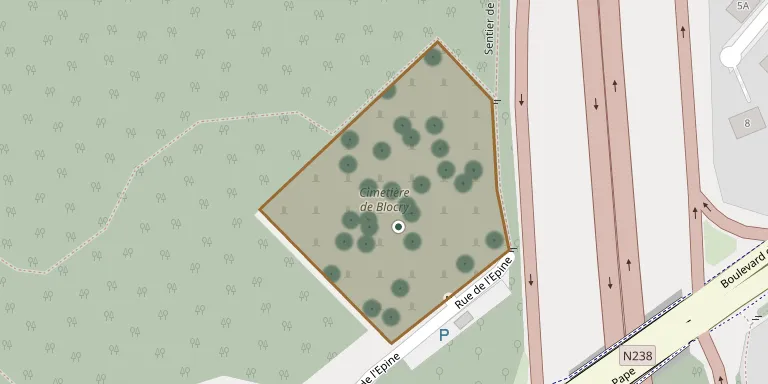
Blocry Cemetery is the communal cemetery of the Blocry district in Ottignies-Louvain-la-Neuve, Belgium.
Cemetery location
GPS coordinates: 50.666248° N, 4.589514° E Directions in Google Maps (opens in a new tab)
Memorials
Showing the first 50 of 74, A–Z by surname. Search all records
 André Alsteen 1930 – 2007
 Marc Barrea 1943 – 1980
- Benoît Bastin 1958 – 2012
 Benoît Bastin 1959 – 2010
- Marc Berhin 1932 – 2012
 Clémentine Bernaerts 1896 – 1972
 André Blondiau 1935 – 2012
 Heinrich Boehm 1870 – 1947
 Therese Brazauskaite 1895 – 1985
 Simone Buffin 1919 – 1997
 Bertha Burny 1885 – 1965
 Marguerite Calmeyn 1915 – 2008
 Désiré Cigare 1886 – 1947
- Marie Claes 1920 – 2004
- Vincent Coemans 1885 – 1979
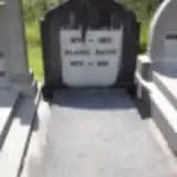 Désiré Daubremé 1876 – 1953
- Pierre de Béthune 1909 – 1991
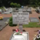 Henri De Bongnie 1920 – 2010
- Gertrude de Bourcet 1915 – 2004
 Robert Degehet 1946 – 1990
- Augustin Deikaite 1913 – 1985
- Fernand Dejean 1914 – 1990
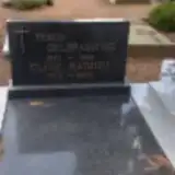 Roger Delbrassinne 1919 – 1988
- Anne-Marie Delmotte 1913 – 2012
- Madeleine Dewigne 1921 – 2010
 Nicole Doneux 1943 – 2005
- Raphael Elens 1909 – 2000
- Roger Everard 1932 – 2013
 André Evrard 1927 – 2000
- Léopold Génicot 1914 – 1995
 Adolphe Gesche 1928 – 2003
 Marie-Louise Glibert 1919 – 1996
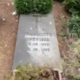 Charlotte Grévisse 1992 – 1995
- Hélène Hayen 1905 – 1988
 André Hennaut 1913 – 1985
 Germaine Henry 1932 – 1998
- Angèle Hermand 1938 – 2010
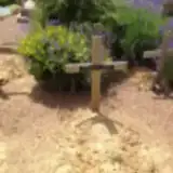 Madeleine Iwens 1909 – 2007
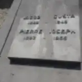 Gusta Jacob 1883 – 1948
- Madeleine Jhaon 1933 – 2010
- Pierre Joseph 1882 – 1965
- Gilbert Lecocq 1935 – 2013
- Emile Libouton 1885 – 1957
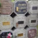 Marie-Thérèse Libouton 1935 – 2011
- Emilia Liboutton 1914 – 2005
- Claire Louis 1953 – 2009
- Emile Maitrejean 1947 – 2010
- Michel Mambour 1930 – 2011
- Claire Mathieu 1922 – 2005
- Julienne Mayne 1876 – 1964
Looking for someone who isn't listed? Request a photo.
Nearby cemeteries
The closest other burial grounds listed on EveryStone.
- Ottignies Cemetery 1.9 km away · Nivelles · 123 records
- Coquerées Cemetery, Ottignies 2.2 km away · Ottignies · 73 records
- Mousty Cemetery 2.2 km away · Ottignies-Louvain-la-Neuve
- Limelette Cemetery 3.1 km away · Ottignies-Louvain-la-Neuve · 60 records
- Mont-Saint-Guibert Cemetery 3.1 km away · Mont-Saint-Guibert
- Mont-Saint-Guibert Cemetery 3.5 km away · Mont-Saint-Guibert · 69 records
- Court-Saint-Étienne Communal Cemetery 3.7 km away · Walloon Brabant · 133 records
- Limal Old Cemetery 4.1 km away · Wavre · 98 records
- Vieux-Sart Cemetery 4.2 km away · Corroy-le-Grand
- Rofessart Cemetery 4.3 km away · Ottignies-Louvain-la-Neuve · 16 records
Contribute with the app
Our website works smoothly on both desktop and mobile devices. Prefer a native app? Check it out below.
- Capture clear headstone photos
- Save GPS grave locations automatically
- Transcribe inscriptions with our AI
- Suggest corrections to existing records
Common questions
How big is Blocry Cemetery?
Blocry Cemetery covers about 5,960 m² (1.5 acres), about the size of a soccer field. It is the 50th largest of the 175 cemeteries we list in Walloon Brabant.
What is the oldest grave in this cemetery?
The oldest grave among the records we hold for Blocry Cemetery is that of Heinrich Boehm, who died on June 16, 1947 at the age of 77.