
268
documented records
≈ 1,500–3,100
approx. capacity (graves)
0.077 km²
cemetery area
Nov 5, 2026
last modified
About this cemetery
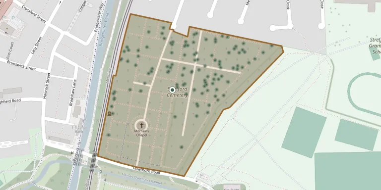
Stretford Cemetery opened on 4 February 1885 on Lime Road in Stretford, Greater Manchester. It is a Victorian municipal burial ground that primarily served the local area.
Cemetery location
GPS coordinates: 53.441849° N, 2.304640° W Directions in Google Maps (opens in a new tab)
Memorials
Showing the first 50 of 268, A–Z by surname. Search all records
 Sarah Abbott 1871 – 1941
- Thomas Abbott ? – 1945
 William Adcock 1868 – 1926
 Sarah Add 1887 – 1974
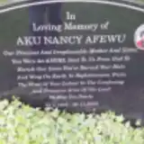 Aku Afewu 1958 – 2009
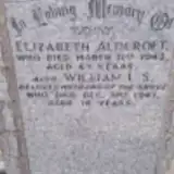 Elizabeth Aldcroft 1874 – 1943
- William Aldcroft ? – 1947
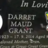 Richard Alder 1980 – 1980
 Florence Anderson 1909 – 2000
 Fred Armstrong 1897 – 1972
 Mona Ashcroft 1917 – 2005
- Thomas Ashcroft 1908 – 1980
 Nellie Ashley ? – 1976
- Samuel Ashley 1896 – 1983
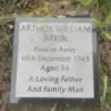 Arthur Atkin 1889 – 1945
 Alfred Atkinson 1896 – 1927
 Ann Atkinson 1863 – 1907
- Margaret Atkinson ? – 1954
- Thomas Atkinson ? – 1942
 Alice Audsley 1904 – 1964
- Douglas Audsley ? – 2003
 Dorothy Baccaley ? – 1931
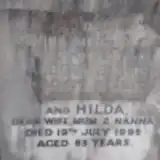 Albert Baker 1910 – 1972
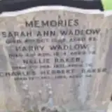 Charles Baker ? – 1983
- Hilda Baker 1912 – 1995
- Nellie Baker 1895 – 1971
 Arthur Baldwin 1905 – 1968
- Lucy Ball 1931 – 1931
- Gladys Banks 1917 – 1999
 Fanny Barker 1885 – 1978
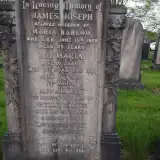 Albert Barlow ? – 1940
 Alfred Barlow ? – 1940
- Arthur Barlow 1876 – 1951
- Bert Barlow ? – 1918
- James Barlow ? – 1928
- Maria Barlow 1861 – 1932
- Mary Barlow ? – 1942
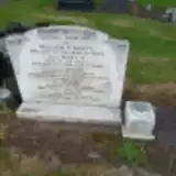 Jane Beaty ? – 1976
- Jessie Beaty 1905 – 1940
- Marian Beaty ? – 1982
- Mary Beaty ? – 1948
- William Beaty ? – 1917
- William Beaty ? – 1942
 Marion Beaumont 1920 – 2007
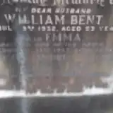 Emma Bent ? – 1957
- William Bent 1879 – 1932
 Alfred Bentley 1922 – 1930
- Harry Bentley ? – 1945
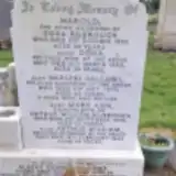 Arthur Bilbrough ? – 1942
- Dora Bilbrough 1904 – 1980
Looking for someone who isn't listed? Request a photo.
Nearby cemeteries
The closest other burial grounds listed on EveryStone.
- St Matthew Churchyard 410 m away · Stretford
- Chorlton Graveyard 1.5 km away · Manchester
- Urmston Jewish Cemetery 2.6 km away · Urmston
- St. Martin's Churchyard 2.8 km away · Old Trafford · 15 records
- Bowden Shul Cemetery, Manchester 2.9 km away · Manchester
- Sale Brooklands Cemetery 3.1 km away · Sale · 53 records
- Urmston Cemetery 3.2 km away · Urmston · 5 records
- Southern Cemetery 3.3 km away · Manchester · 37 records
- Weaste Cemetery 4.2 km away · Salford
- St. Catherine's Churchyard 4.8 km away · Barton upon Irwell
Contribute with the app
Our website works smoothly on both desktop and mobile devices. Prefer a native app? Check it out below.
- Capture clear headstone photos
- Save GPS grave locations automatically
- Transcribe inscriptions with our AI
- Suggest corrections to existing records
Common questions
How big is Stretford Cemetery?
Stretford Cemetery covers about 77,000 m² (19 acres), about the size of 11 soccer fields. It is the 12th largest of the 298 cemeteries we list in Lancashire.
What is the oldest grave in this cemetery?
The oldest grave among the records we hold for Stretford Cemetery is that of Ann Atkinson, who died on January 11, 1907 at the age of 44.